

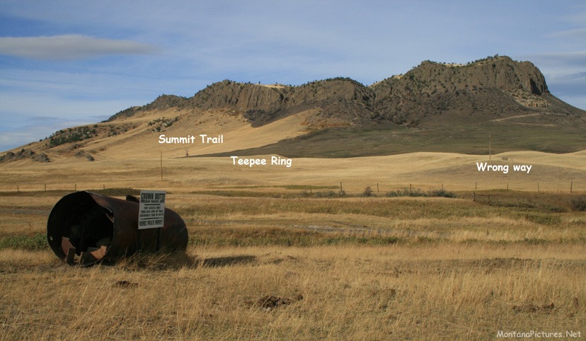
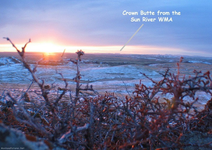
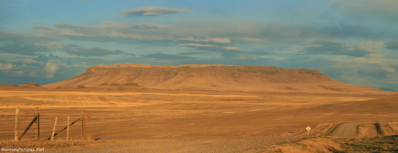
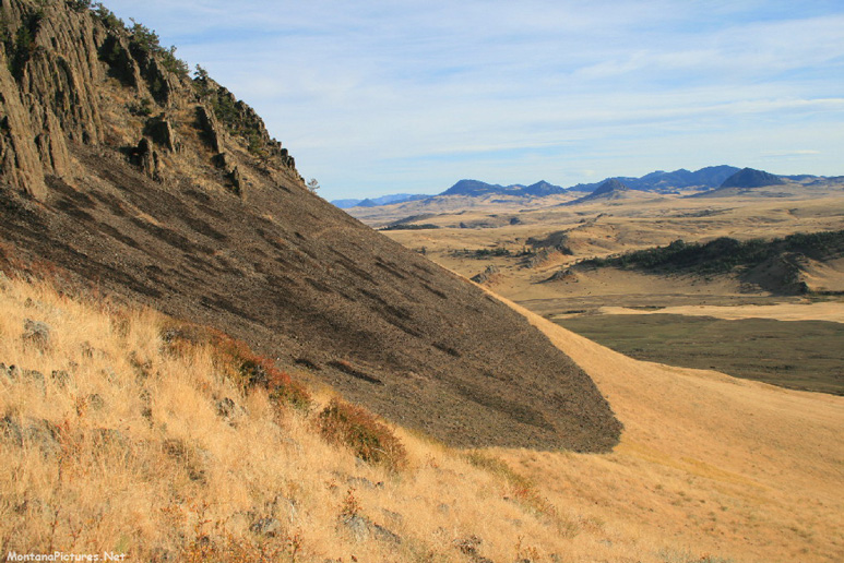
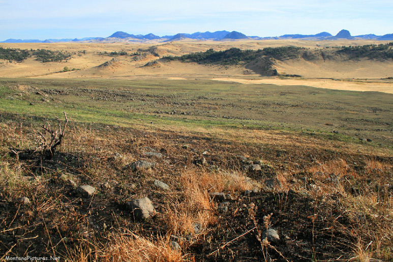
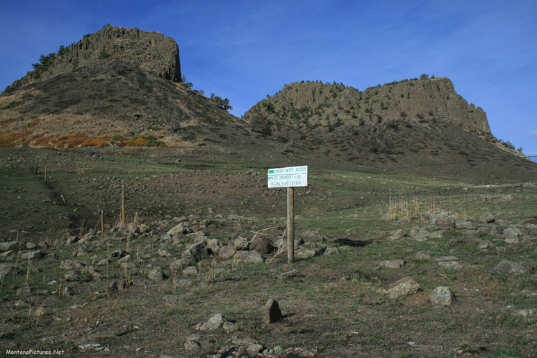
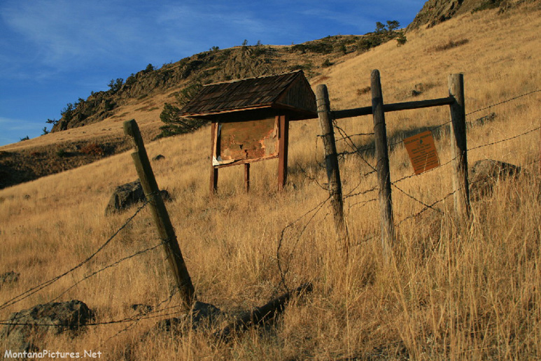
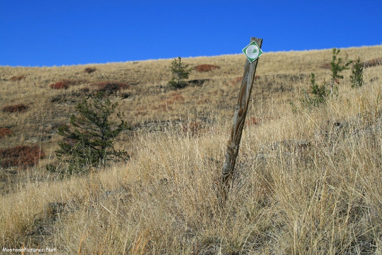
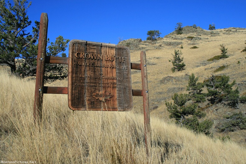
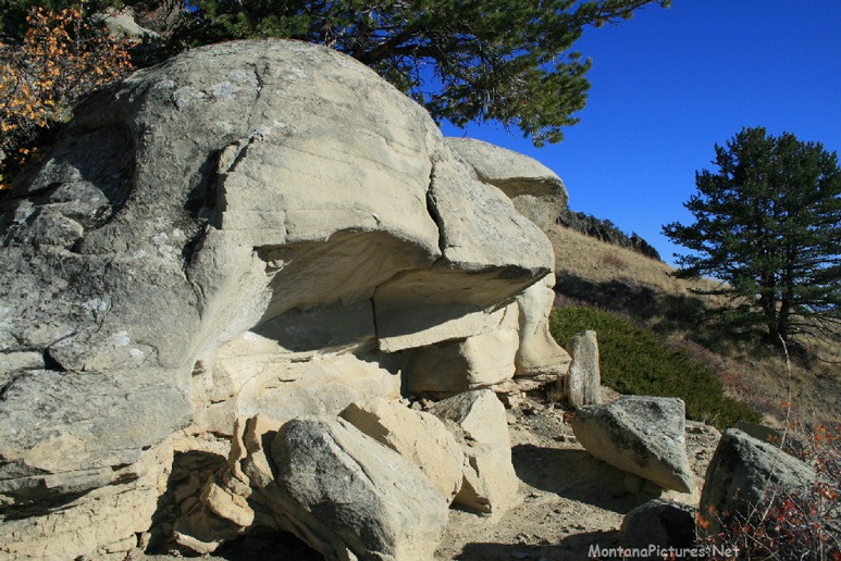
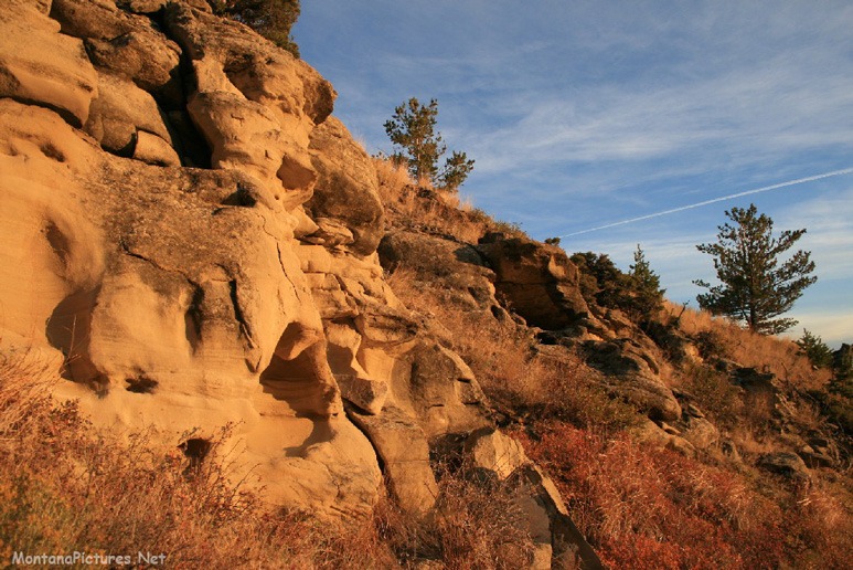
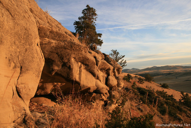
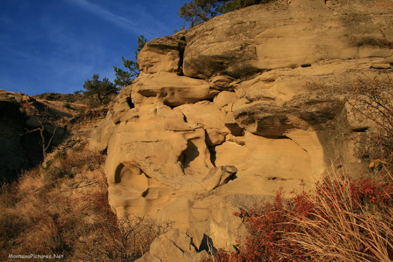
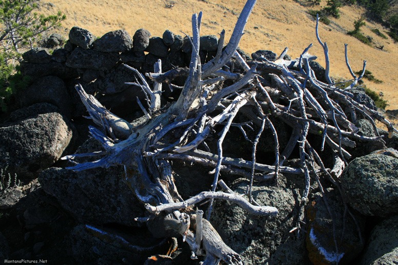
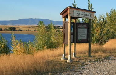
Welcome to the Crown Butte Preserve & Simms Montana Picture Tour
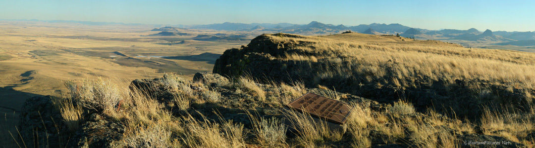
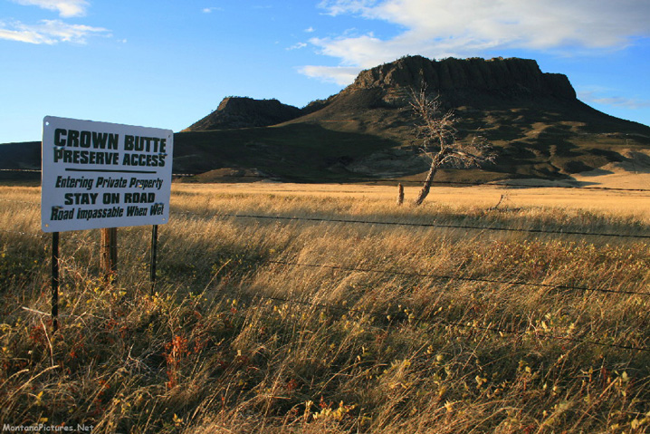
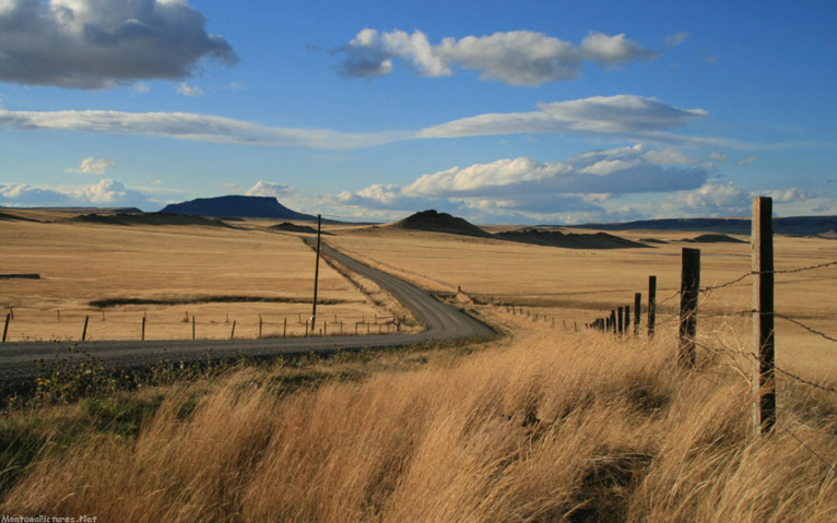
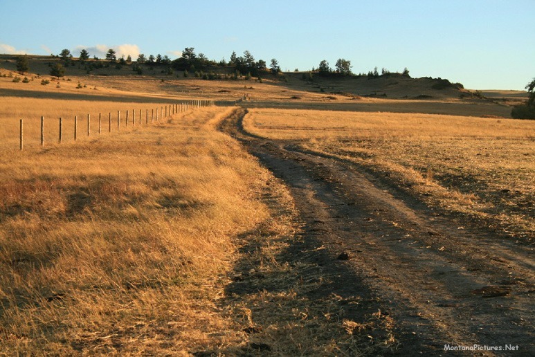
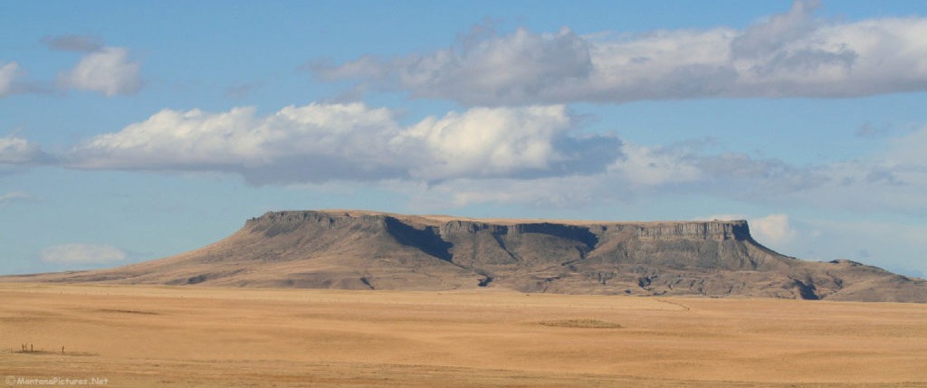
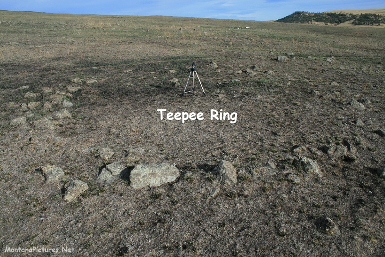
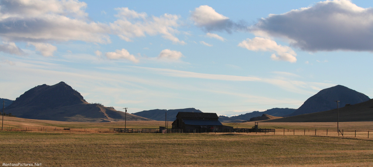
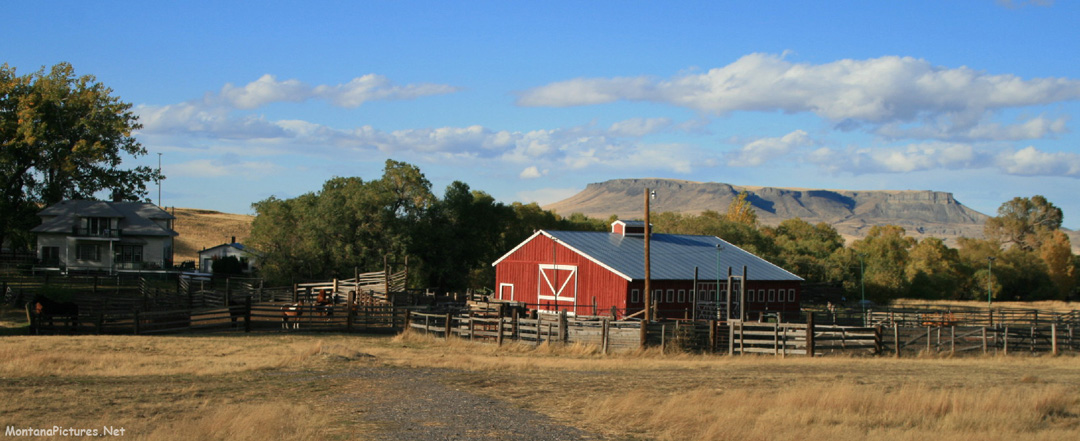
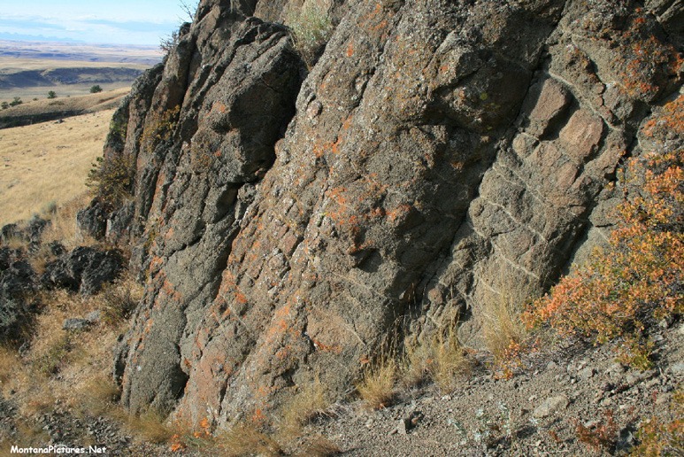
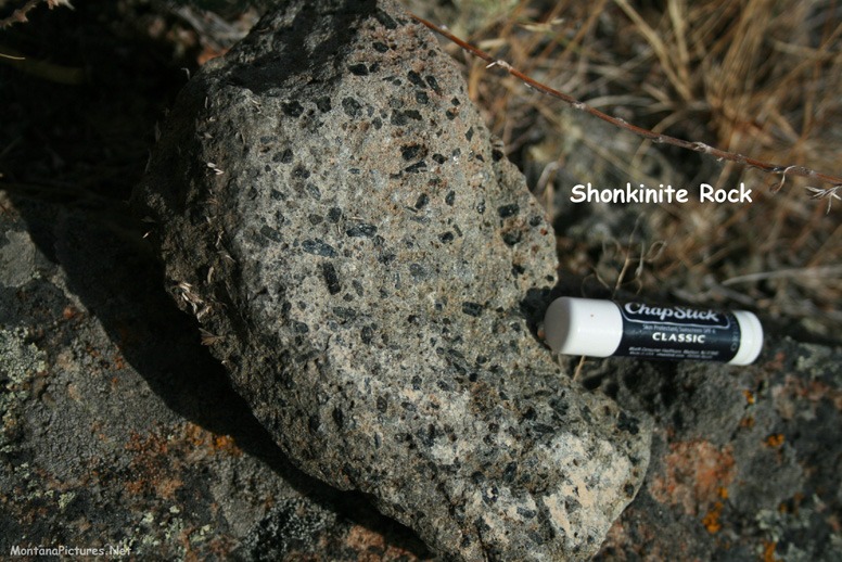
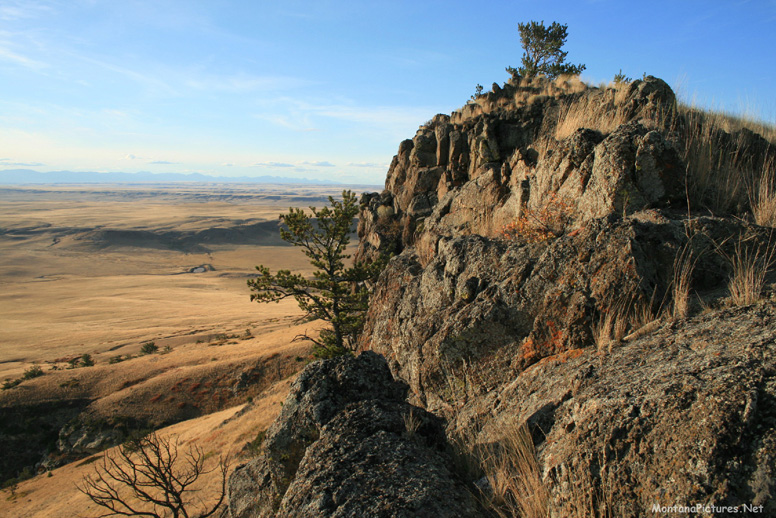
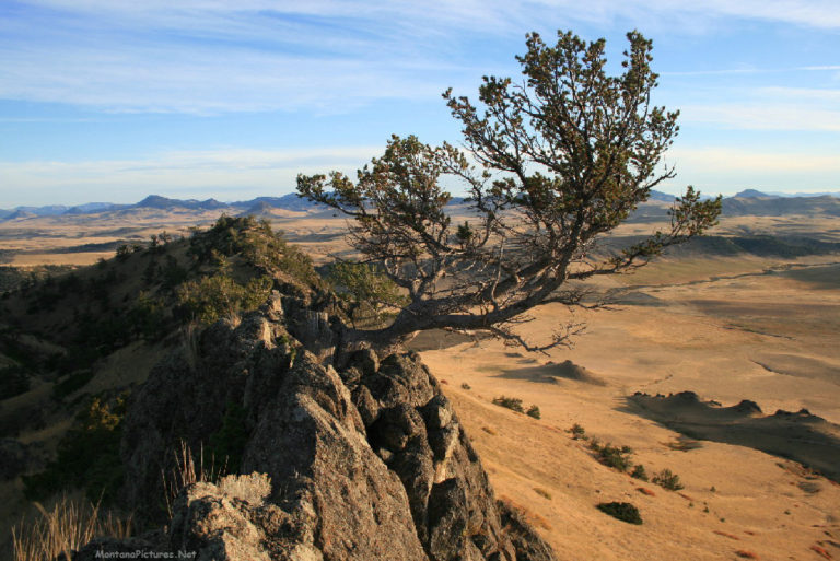
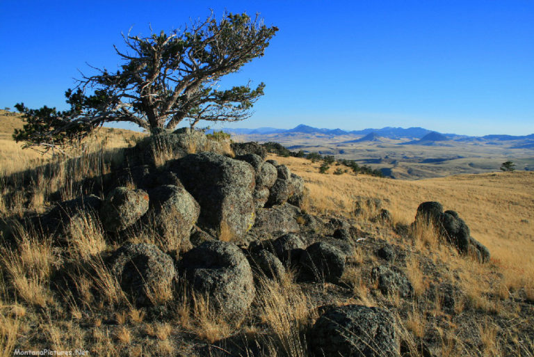
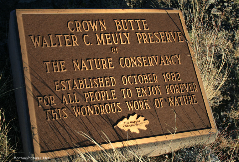
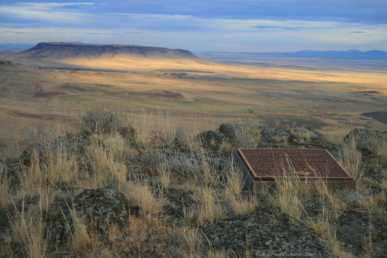
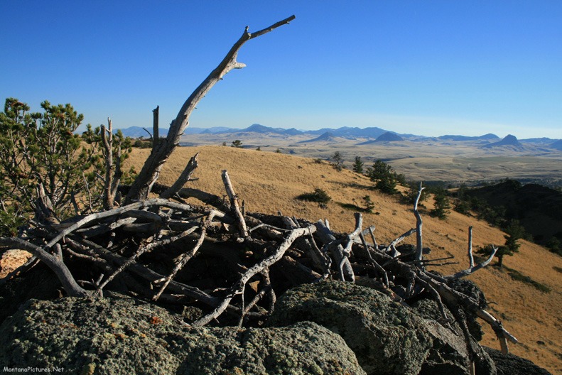
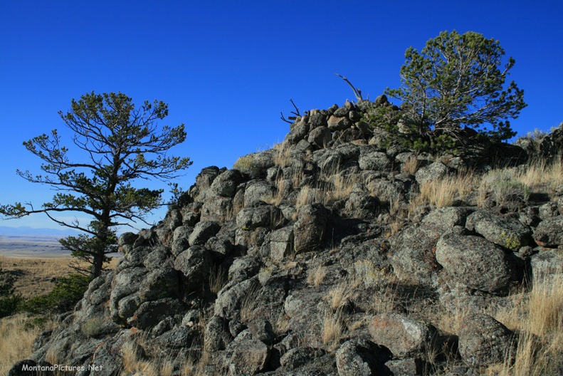
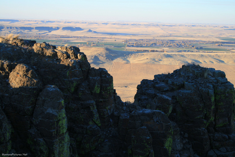
There are some views of Montana that can not be appreciated behind a windshield. For just a little effort there are foot trails that open up Montana vistas you will never forget. The views of the Rocky Mountain Front from the Crown Butte Preserve south if Simms, Montana is an excellent example. An early morning or sunset walk to the summit of Crown Butte will reveal magnificent views, ancient local history and geology unique to Montana.
Simms, Montana
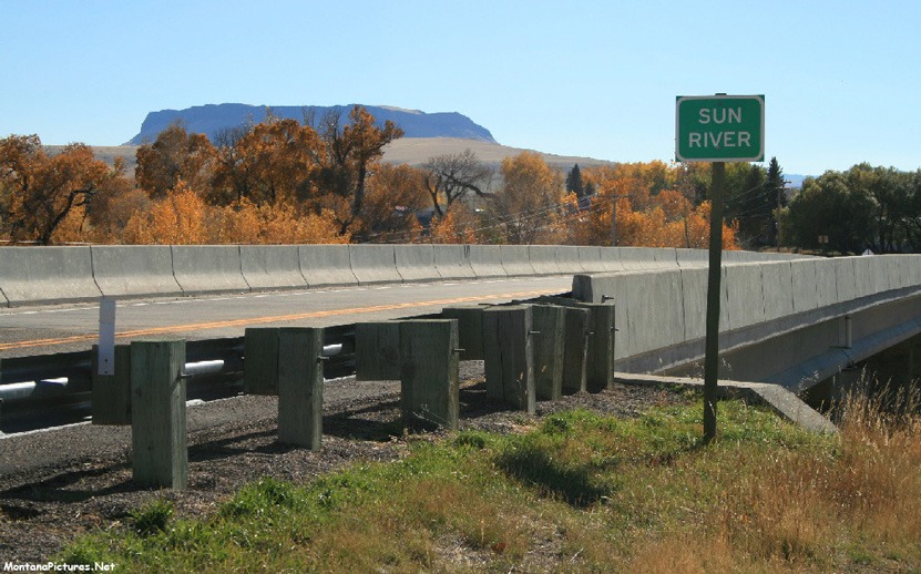
Thirty-one miles west of Great Falls, Montana is the picturesque little town of Simms, Montana. Walking past the ancient Cottonwood trees in Simms, Montana is a real treat. The population of Simms exploded in the 1900’s with the passage of the “1912 Homestead Act” and the building of local irrigation projects such as the “Sun River Irrigation Project of 1908.***”
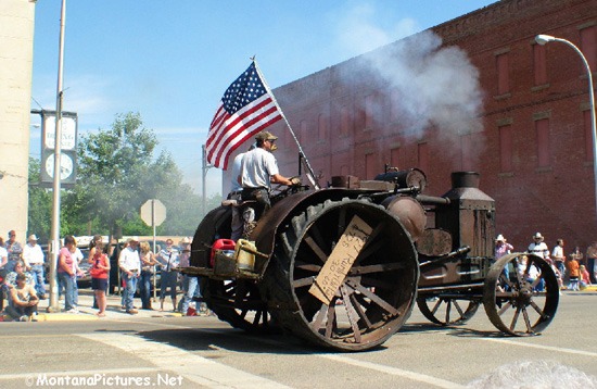
Rumley Oil Pull Tractor
During the 1910s through the 1930s “The Rumley Oil Pull Tractor” could be seen plowing, pulling “binders” during wheat harvest, grading roads, threshing and grinding feed throughout the Sun River Valley. To the right is a picture of a 1927 “Rumley Tractor.”
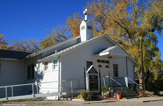
Simms Community Church
The Simms, Montana Community Church is actually two buildings. The middle structure was built in 1914. The two “wings” off the main building consist of the former Helper School (1895) that was cut in half. One half was attached to each side of the middle structure to form the rough outline of a cross. ***
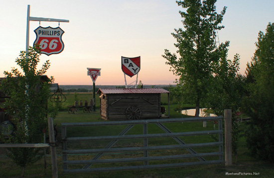
Simms Montana Landmarks
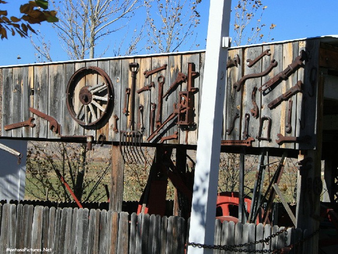
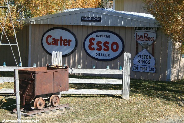
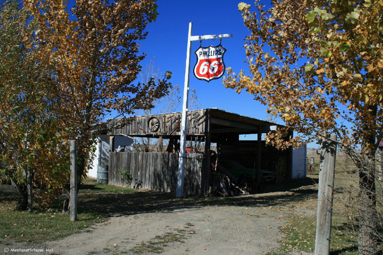
Take a look at a map or aerial photo of the 160 acre town site of Simms, Montana. Immediately, you will see that the city plan of Simms and Fort Shaw is unique. Town of Simms was laid out in 1906 according to a government standard plan. The geometric grid has conventional east-west and north-south streets cut by broad diagonal avenues. The design origins can be attributed to Pierre Charles L’Enfant, who came to America from France to fight in the Revolutionary War. The plan reflected the optimism of expected future growth due to the opening of new irrigated land, proposed daily train service and the influx of new homesteaders. Speaking of landmarks, be sure to see the large private collection of gas station memorabilia located just southwest of town.
Sun River Valley Historical Society
If you would like to learn more about Montana’s Sun River Valley. You can buy the beautiful leather bound book full of valuable information on the historic towns of Vaughn, Sun River, Fort Shaw and Simms, Montana. Send a Request and we’ll forward the information. Or you can write: Sun River Valley Historical Society 13847 Hwy 200 Sun River, Montana 59483


Recent Comments