
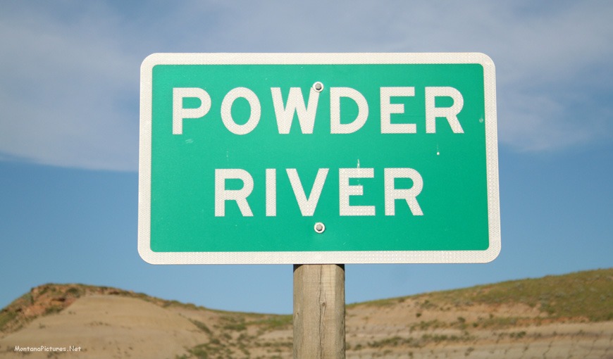
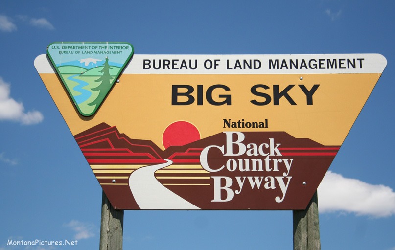
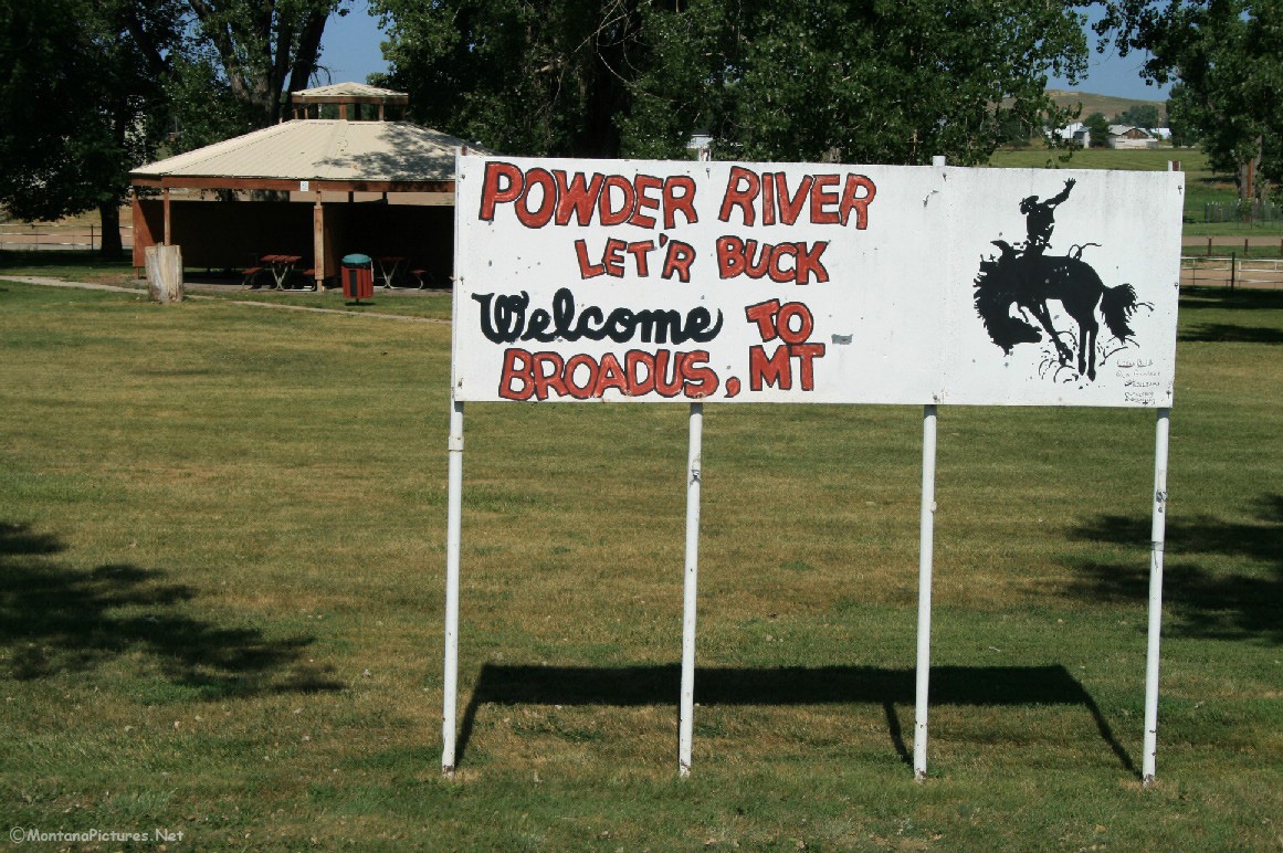
Welcome to The Powder River Picture Tour
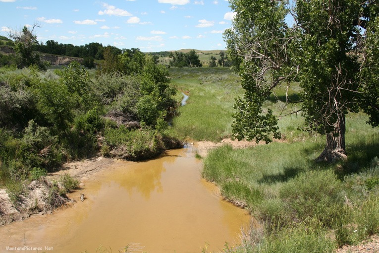
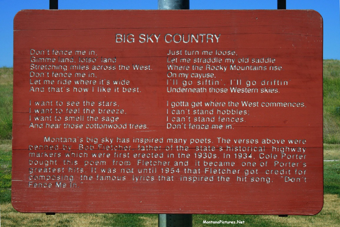
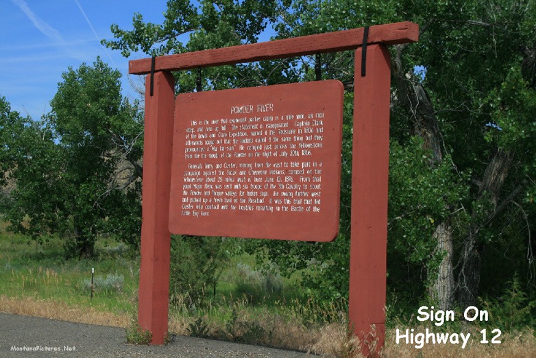
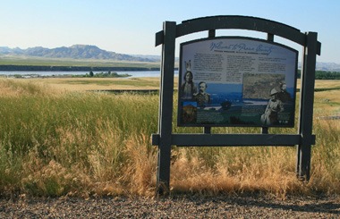
See a picture tour of the Powder River and Tongue River in SE Montana during the glorious month of June and July. As kids, we were fascinated by the Powder River Historical Marker on the side of Highway 12. The sign triggered all sorts of questions. For instance, how could a river be “A mile wide and an inch deep?” How did the Powder River become a battle cry during WWI? What does the river look like? we’ll answer those questions and more in picture tour of the Powder River and Tongue River.
Where is the Powder River?
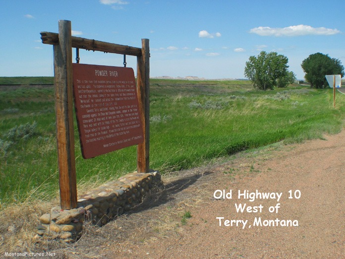
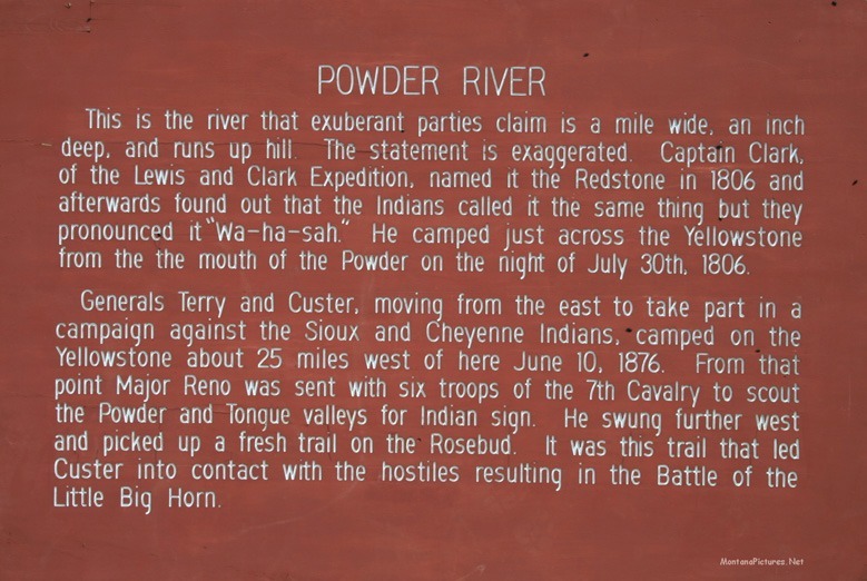
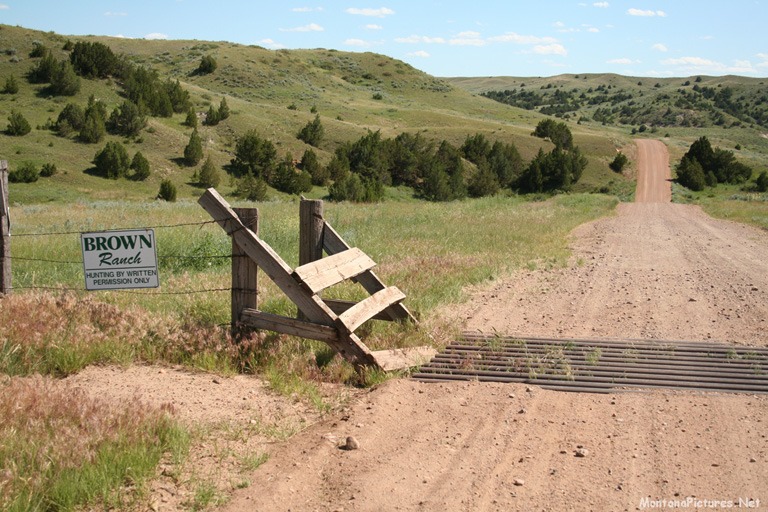
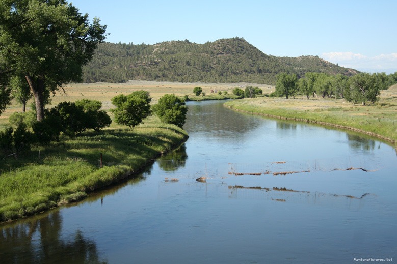
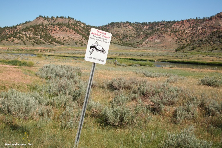
The Powder River is a 375-mile-long tributary of the Yellowstone River located in northeastern Wyoming. Three forks meet on the foothills east of the Bighorn Mountains near the town of Kaycee, Wyoming. The combined stream flows northward, east of the Bighorns and into Montana. It is joined by the Little Powder River near the town of Broadus, Montana then joins the Yellowstone River west of Terry, Montana.
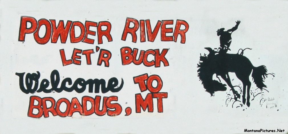
“Powder River, Let ‘er Buck!”
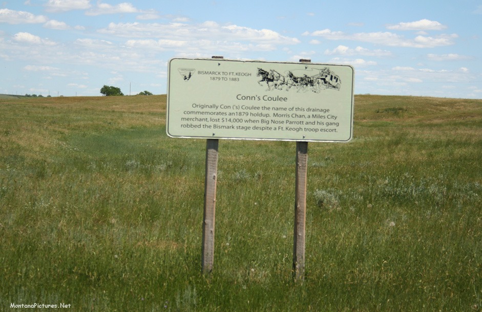
According to Lander, Wyoming cattleman, Edward J. Farlow (1861-1951), author of “Powder River, Let `er Buck” (Annals of Wyoming, Vol. 11, No. 1, 1939) and Wind River Adventures: My Life in Frontier Wyoming, the expression originated with a cattle drive along Powder River to the railroad in Casper, Wyoming.
The 361st Infantry Regiment of the 91st Infantry Division, had served its country well during the First World War. After the armistice in November 11, 1918, the Regiment patrolled the Franco-Belgian border for a short period. It was here that the division adopted a green fir tree as its insignia and gave itself the battle cry, “Powder River, Let `er Buck!” The fir tree symbolized the Northwestern United States, for the personnel of the division had come from seven western states. By the time the division arrived back home, the battle cry had become official.

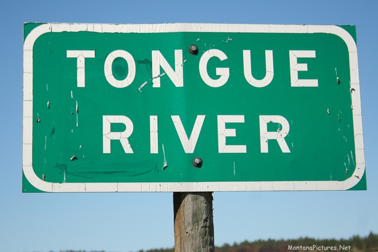
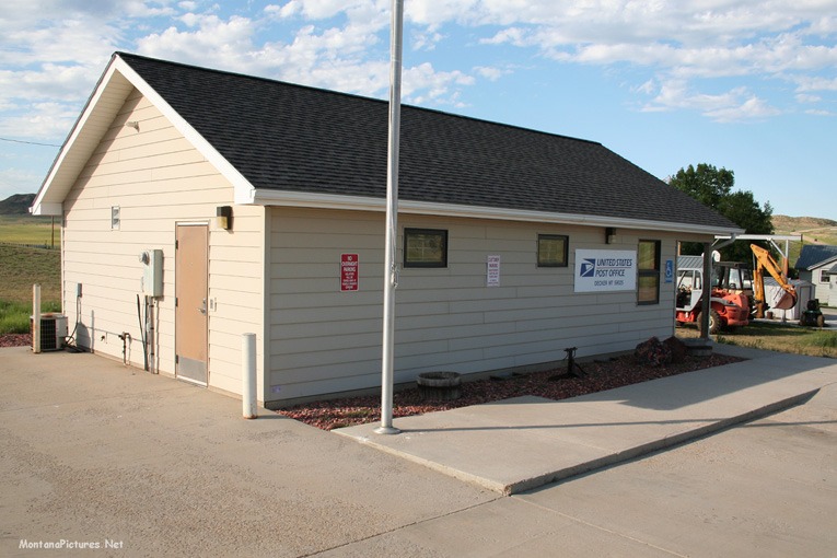
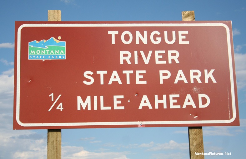
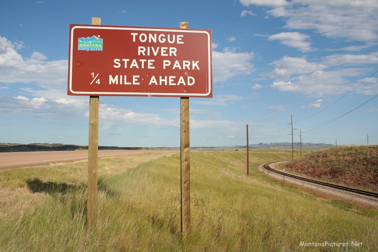
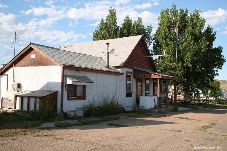
Welcome to The Tongue River Picture Tour
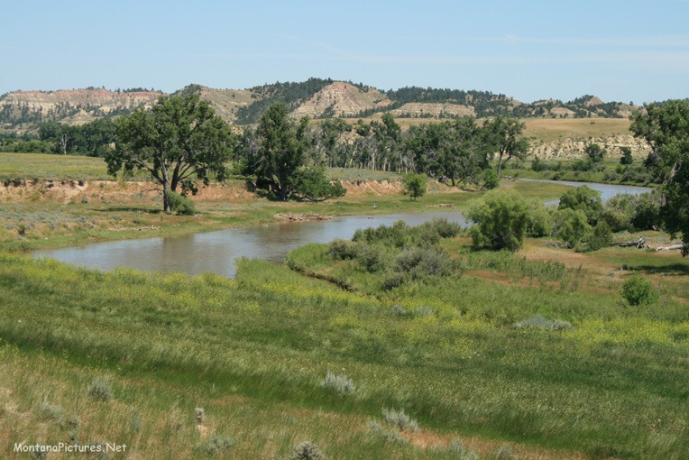
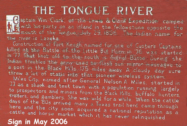
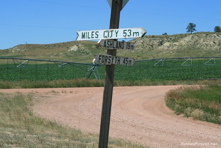
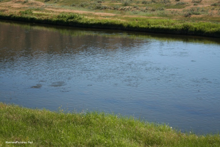
The Tongue River is a relatively shallow 265-mile-long stream with a deep history. The Tongue begins in Wyoming in the Big Horn Mountains then flows northeast through northern Wyoming past the tiny town of Decker, Montana and the Tongue River Reservoir near the Montana state line. From Decker, the stream flows through Ashland, Montana and eventually empties into the Yellowstone River at Miles City, Montana. The river’s name corresponds to Cheyenne /vetanoveo’he/, where /vetanove/ means “tongue” and /o’he’e/ means “river”.(1)
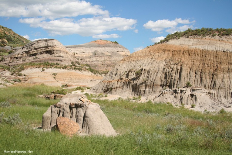
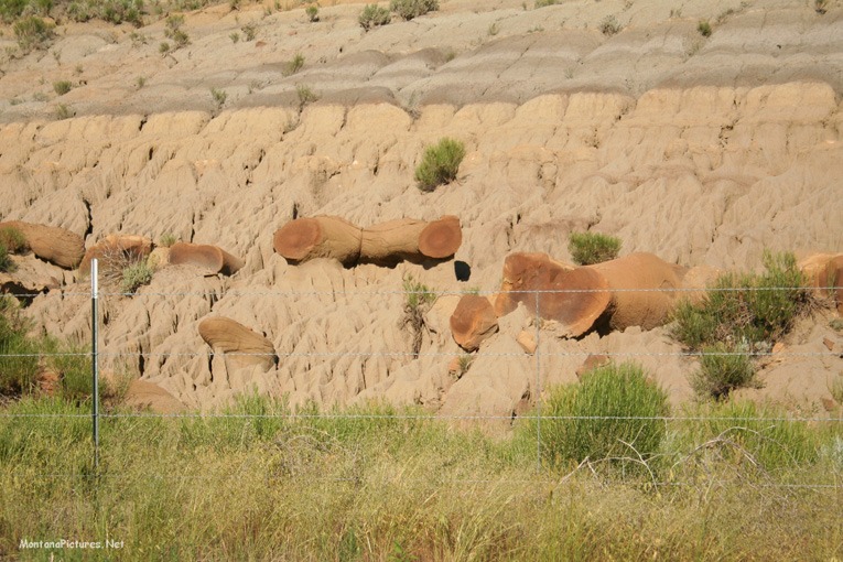
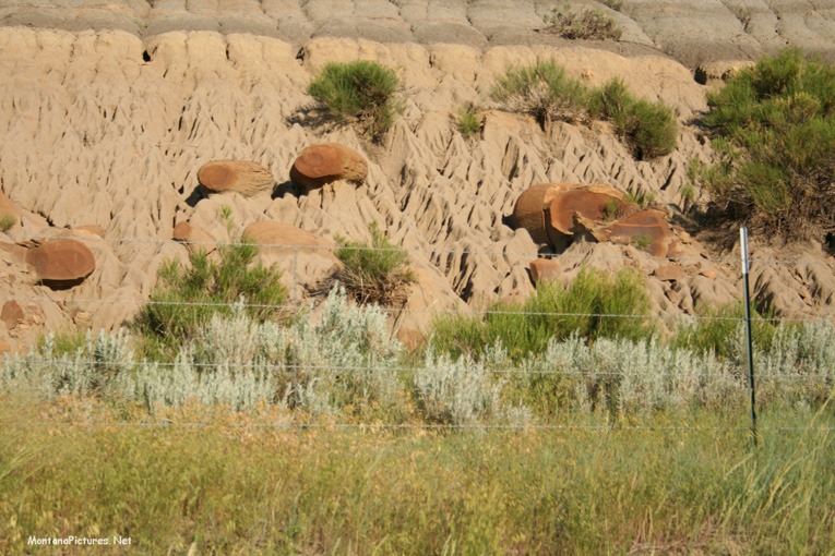
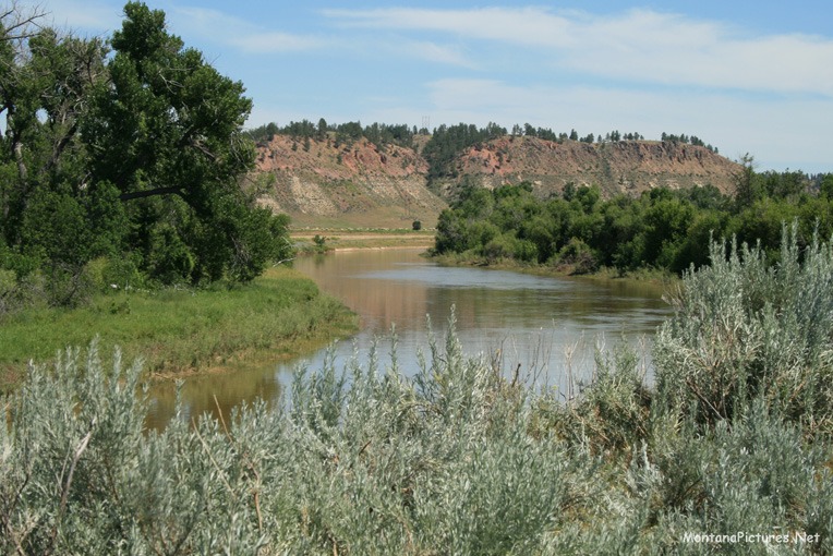
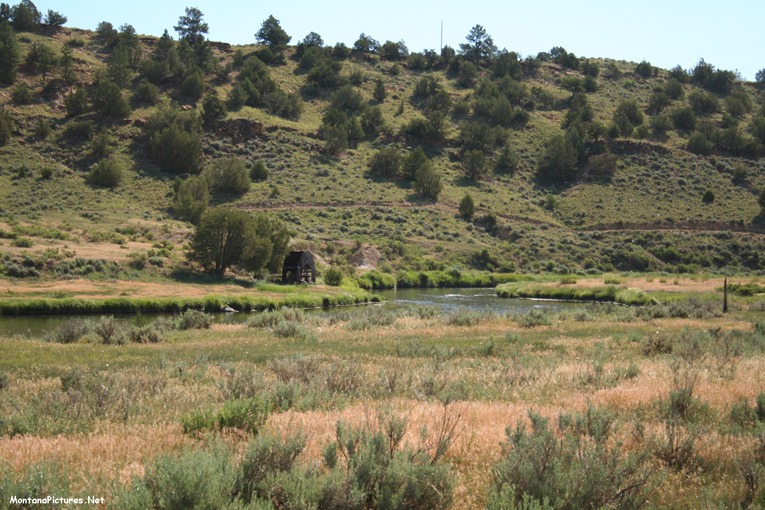
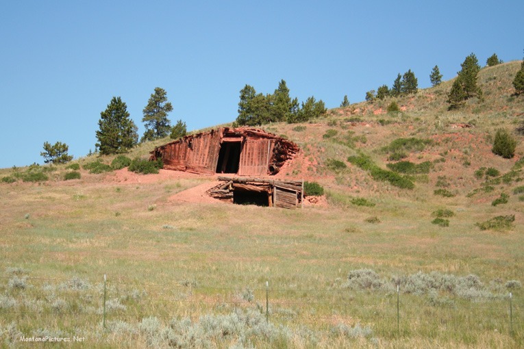
The sandstone hillsides and bluffs along the Tongue (see picture below) and its tributaries often have reddish bands running through them or they are capped with resistant reddish layer. These red layers were formed millions of years ago. Coal seams outcropping in the Tongue River sandstone caught fire, probably from prairie fires that started by lightning. The fires burned from the outcrop back into the coal seams, and the fire finally went out when they burned so deeply into the coal seam that the fire was smothered. The extreme heat burned for a prolong period of time
changed the structure of the sedimentary rocks that lay just over the coal seam until it became a hard “clinker” substance and turned a reddish brick color. These red “clinker” beds are often more resistant to erosion than the silty sandstone, so they appear on the higher parts of bluffs, and buttes on either side of the valleys of the Tongue River basin are often capped by beds of this baked and fused rock that are five to twenty feet thick.(2) Besides the beds of reddish “clinker” larger concretions can be found that appear at first glance to be similar to melted glass or even pieces of volcanic rock. The difference in appearance is due to the difference in content of the sediment material in the overlying bed that was heated to very high temperatures.
The Origin Of Miles City, Montana
In the fall of 1876 following the defeat of Custer at the Battle of the Little Bighorn, the army determined to garrison the area. Colonel Nelson A. Miles and elements of infantry units constructed the Tongue River Fort at the mouth of the Tongue River.(3) A community formed nearby named “Milestown.” In the following year, the army increased the commitment of forces and Colonel Miles constructed Fort Keogh about two miles west of the Tongue. After the fort was finished, Colonel Miles permitted civilians to settle on the eastern bank of the Tongue. Today, the Tongue joins with the Yellowstone within the city limits of Miles City.
The Bozeman Trail and Red Cloud’s War 1865
There isn’t enough space to write about the history of the Tongue River landscape. A good reference is the book: “The Bloody Bozeman,” Dorothy M. Johnson, Montana Press Publishing Co. 1987, ISBN 0-87842-152-1
The Great Sioux War of 1876-77
March 17, 1876 – The Great Sioux War of 1876–77 began at daybreak on 3/17/1876, when Colonel Joseph J. Reynolds and six cavalry companies struck a village of Northern Cheyennes—Sioux allies—thereby propelling the Northern Plains tribes into war. The ensuing conflict spanned some eighteen months, playing out across more than twenty battle and skirmish sites. For more information read: “Powder River – Disastrous Opening of the Great Sioux War” by Paul L. Hedren, University of Oklahoma Press 2016, ISBN 978-0-8061-6189-1
June 17, 1876 – Battle of the Rosebud. General George Crook moved his forces north from the present day Sheridan, WY area, across the Tongue river, and engaged a large Sioux and Cheyenne force. For more information read: ”Rosebud, June 17, 1876: Prelude to the Little Big Horn” by Paul L. Hedren, University of Oklahoma Press 2021, ISBN 978-0-8061-6616-2.
January 8, 1877 – Battle of the Wolf Mountains (this is a misnomer). The battle site is about 4.5 road miles west of Birney, Montana on the Tongue River road. The Wolf Mountains are actually several drainages to the west from the battle site.
1) Bright, William (2004). Native American placenames of the United States. University of Oklahoma Press. p. 505. ISBN 978-0-8061-3598-4.
2) Ferdinand Vandeveer Hayden, United States Corps of Engineers; John Strong Newberry; William Franklin Raynolds (1869). Geological Report of the Exploration of the Yellowstone and Missouri Rivers: 1859-’60. Govt. Print. Off. p. 56.
3) Brown, Mark H (1959). The Plainsmen of the Yellowstone. University of Nebraska pp. 128–129. ISBN 0-8032-5026-6.


Recent Comments