
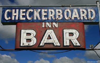
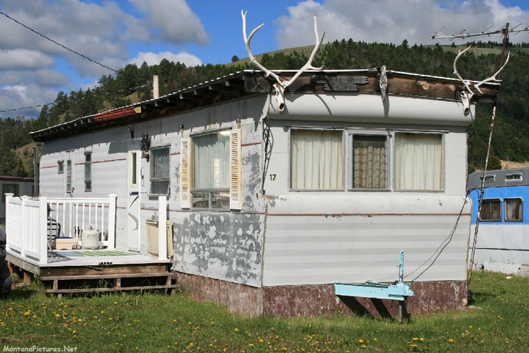
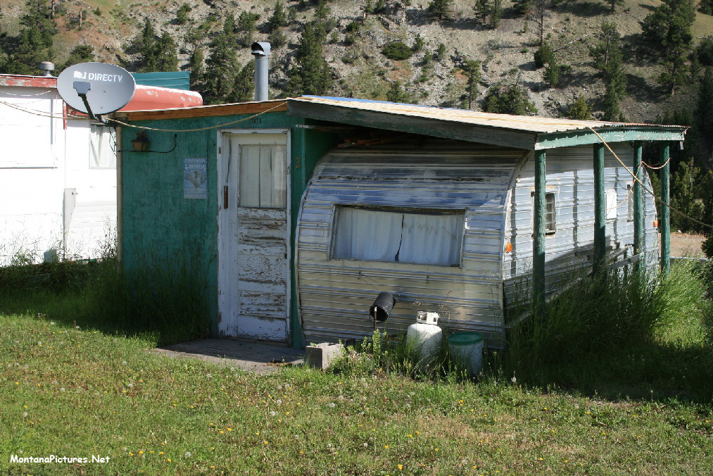
Welcome to the Checkerboard
Montana Picture Tour
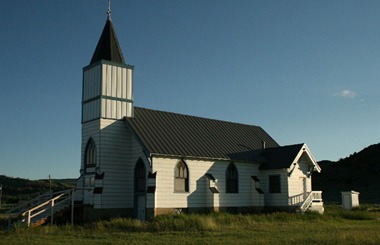
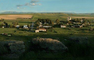
Join us as we explore Checkerboard Montana. The tiny unincorportaed community is located on the east side of the Castle Mountains on Highway 12. The Castle Mountains either got their name from the reddish shale ramparts rising out of the forest near the old mining town of Castle, or from the large rounded hunks of granite towering above the forest on the west side of the range, overlooking White Sulphur. Unusual names such as Checkerboard and Castle Town owe their origins to nineteenth century miners who combed through the areas sedimentary and granite formations in search of gold.
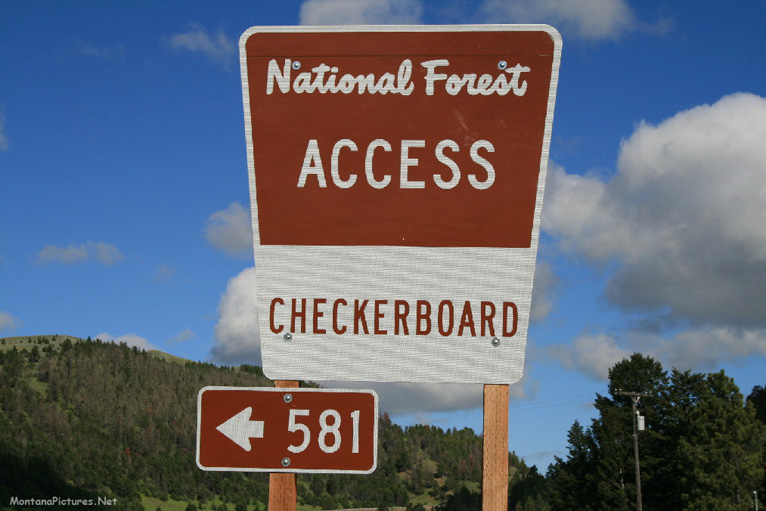
The National Forest Development Road 581 that starts in Checkerboard, is one of four popular routes into the Castle Mountains. If you would like to see the Grasshopper Campground entrance, Forest Service Road 211, go to the Castle Town Montana Picture Tour.
Castle Mountain Hiking
Need to burn some calories while gawking at mountain meadows dotted with wildflowers, wild strawberries and huckleberries? The Richardson and Grasshopper campgrounds are the takeoff points for two hiking and horseback trails that climb up to 8,218-foot Beartrap Peak. The 10-mile round trip gradually gains about 2,400 feet as it follows Richardson Creek.
Origin of a Meagher County Name
The Meagher County Historical Society posted the original Homestead and Mining Patents for Meagher County. The list may help visitors discover how landmarks in the county obtained their present day name.
P.S. Meagher County is pronounced “Mar” County.

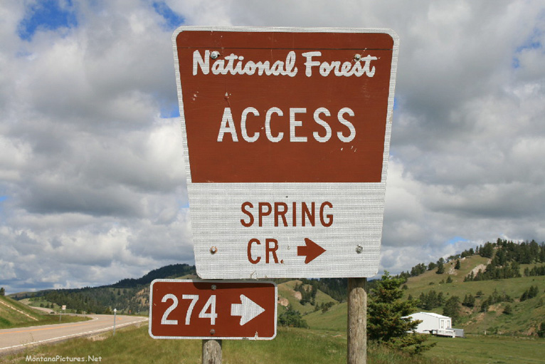
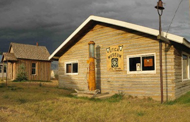
Spring Creek Road 247 To Utica, Montana
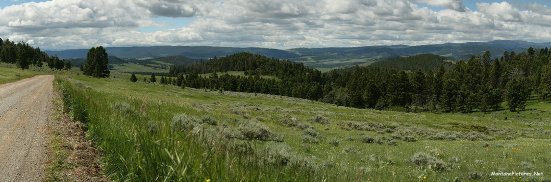
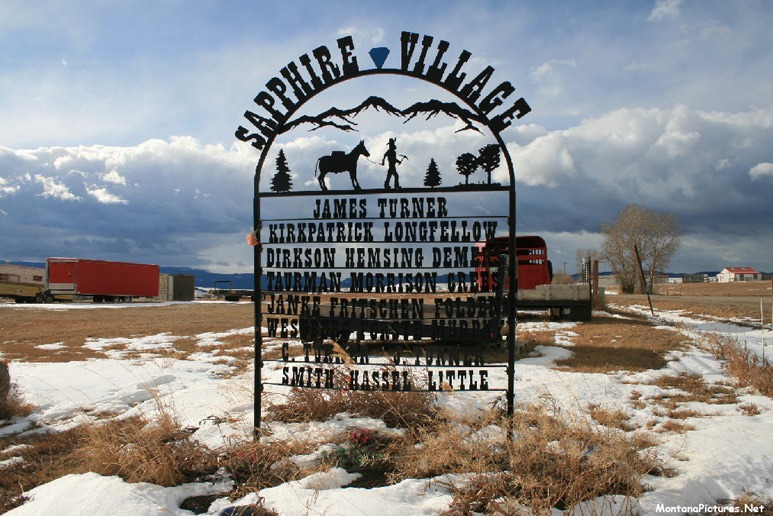
Ride northeast of Checkerboard, Montana on Spring Creek Road (aka Forest Service Road 274) to see the Little Belt Mountains in all their glory. Montana’s Little Belt Mountains (9,174ft / 2,797m) are not Tall but they make up for it by being wide expanse of rolling hills (See Above). Along the way, approciamtely eleven miles from Utica, you will pass historic old Dude Ranches and the unincorporated community of Sapphire Village, Montana. Nineteeth Century Gold prospectors were dissapointed not to find gold in the Little Belt Mountains but soon discovered another tresure called the American Sapphire, a.k.a the Yogo. The highly prized small stones range in color from cornflower to deep blue. To learn more about the area read “Yogo The Great American Sapphire” written by Stephen M. Voynick. The book features pictures and the history of Yogo mines in Montana from the end of the nineteenth century through the beginning of the twentieth century. Another source of current Mining activity in the area can be found on the westernmininghistory.com website. Did you know, Meagher County, Montana has 10,139 records of mining claims on public land managed by the Bureau of Land Management?
Middle Fork Of The Judith River
If you are looking for another kind of “treasure,” you can also find the trail head for the Middle Fork of The Judith River. The area was designated as a Wilderness Study Area in the 1970’s but only time will tell if the 81,000 acres in the Helena-Lewis and Clark National Forest around the headwaters of the Middle Fork of the Judith River will be protected for future generations to marvel at. Wilderness study areas are public lands that may meet the federal Wilderness Act standards of “outstanding opportunities for solitude or a primitive and unconfined type of recreation” and “may also contain ecological, geological, or other features of scientific, educational, scenic or historical value.” We hiked the Middle Fork in the 2005 but did not carry a camera. If you would get an idea what this incredible landscape looks like visit the blog, “Out There with Tom” by Tom Kotynski.

Recent Comments