
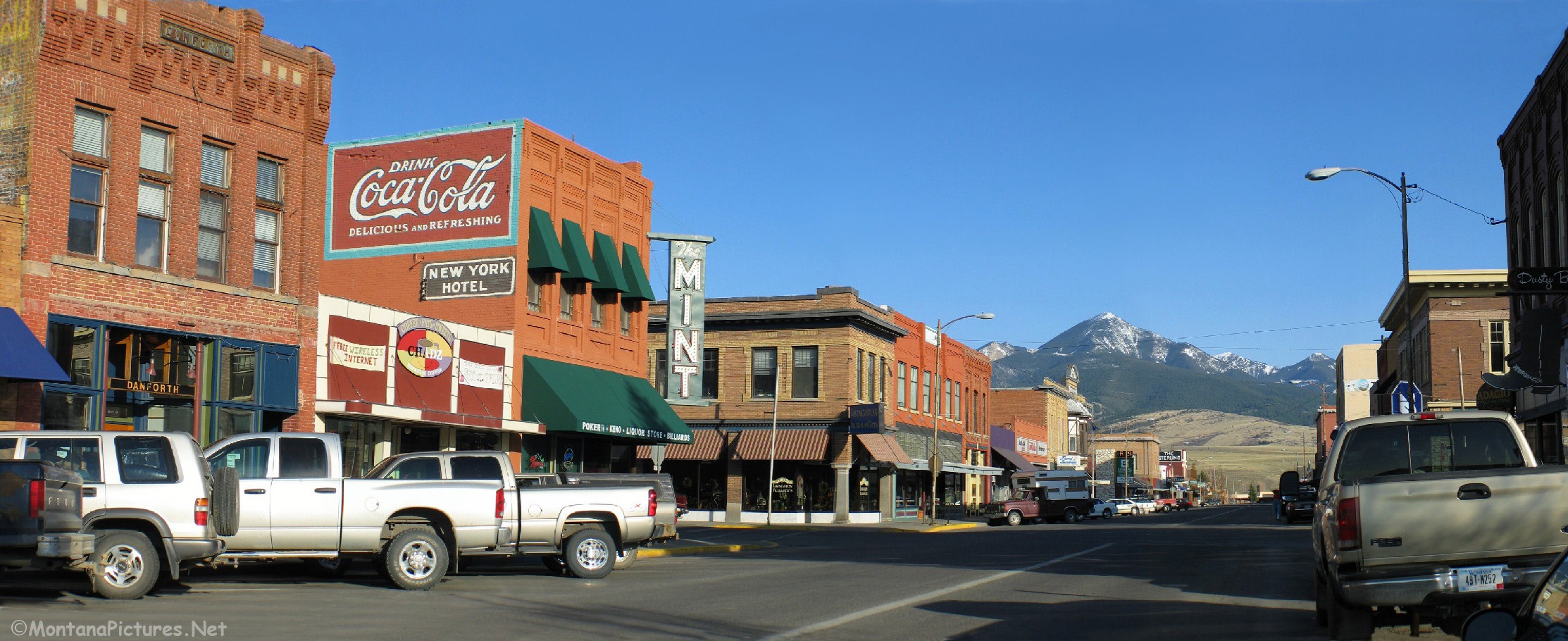
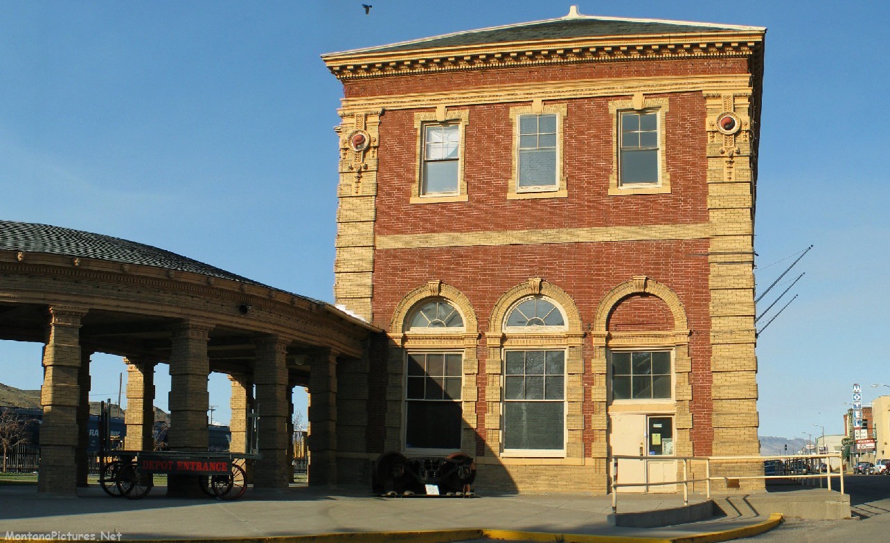
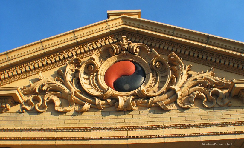
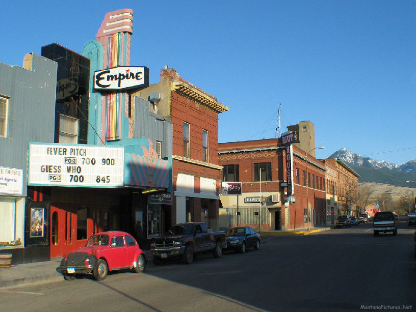
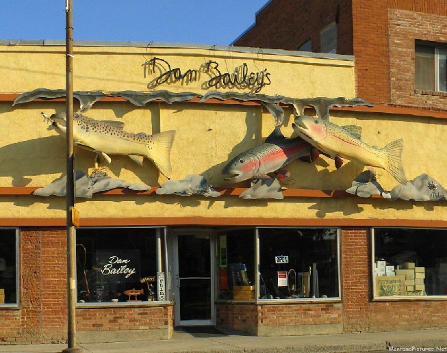
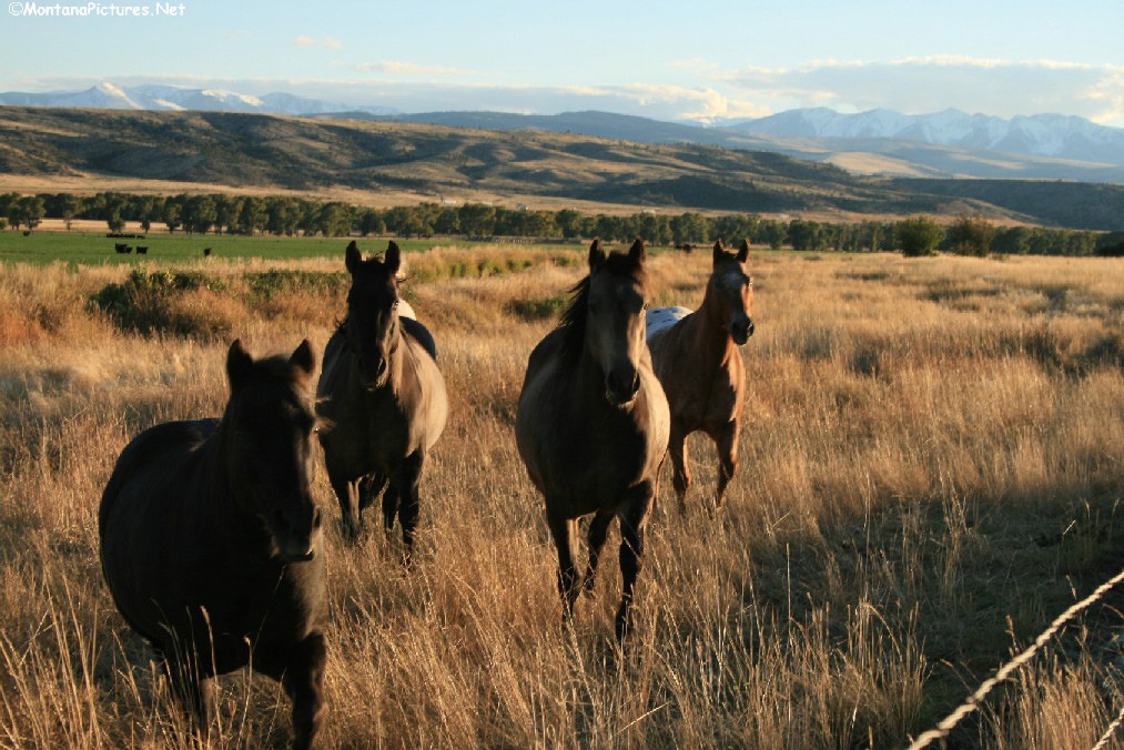
Welcome to the Livingston, Montana Picture Tour
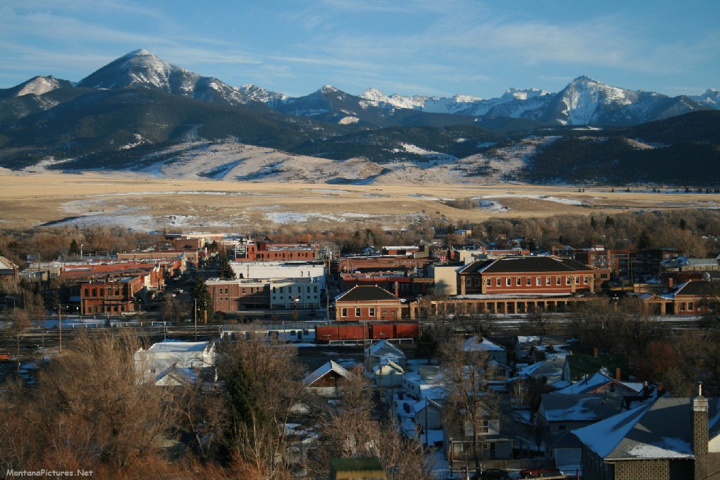
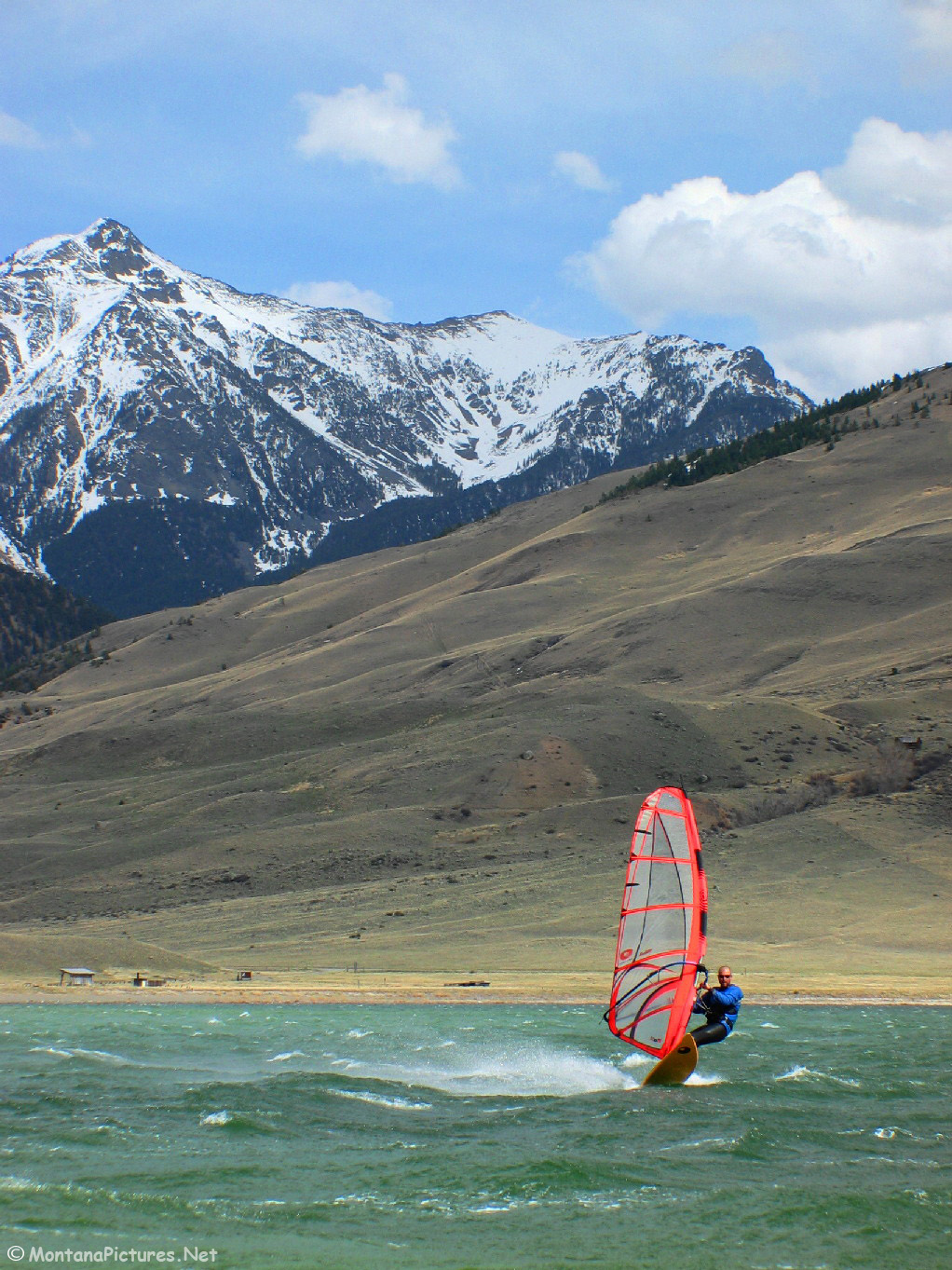
We received dozens of requests to post a picture tour of Livingston, Montana and the the Absaroka (Ab-soar-key) Mountains south of town. That’s Mount Delano in the background, elevation 10,138 feet.
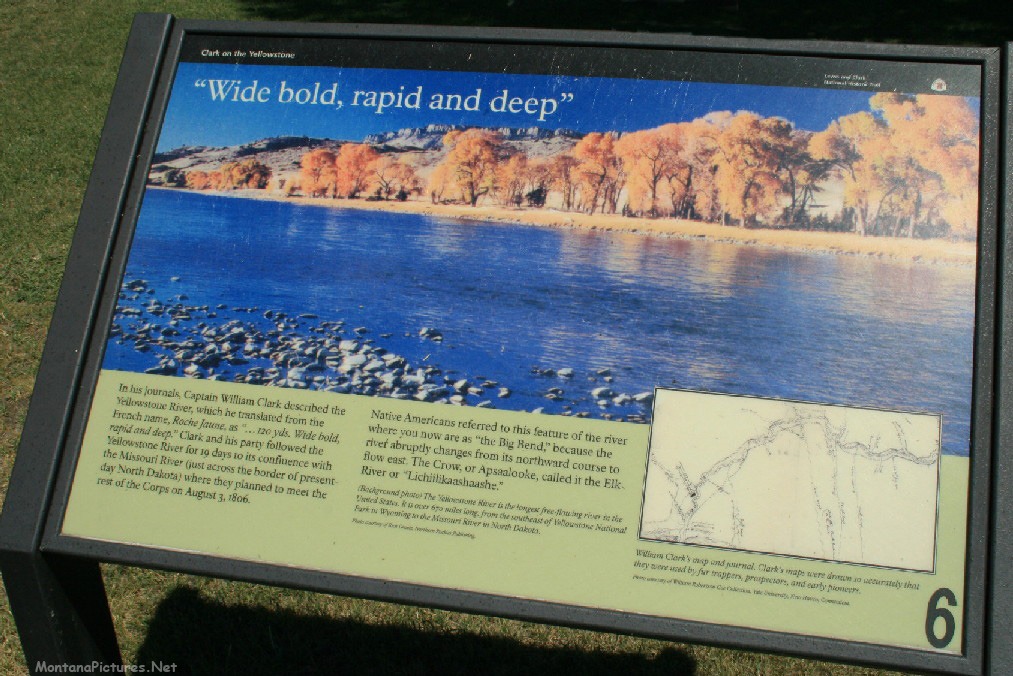
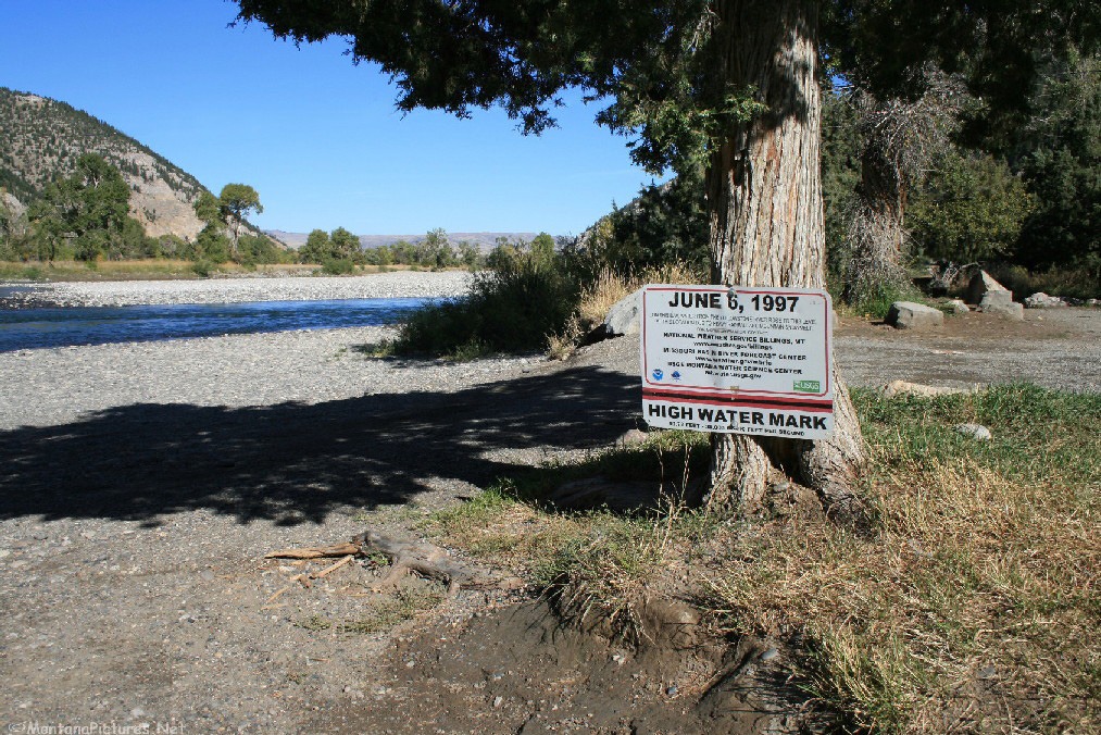
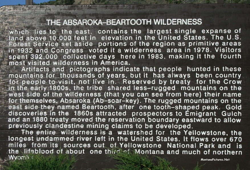
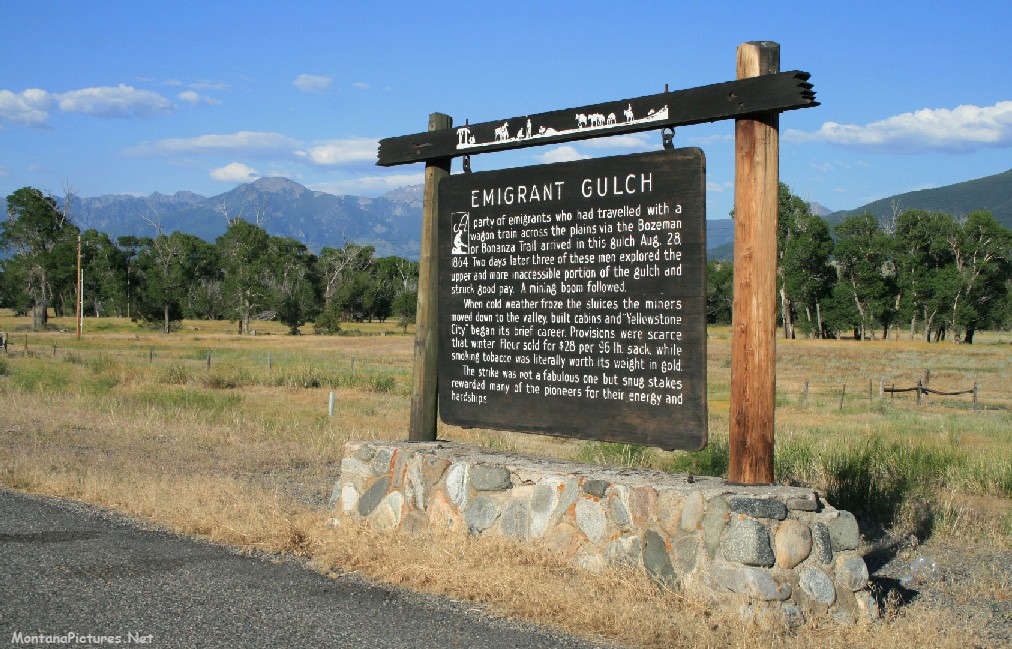
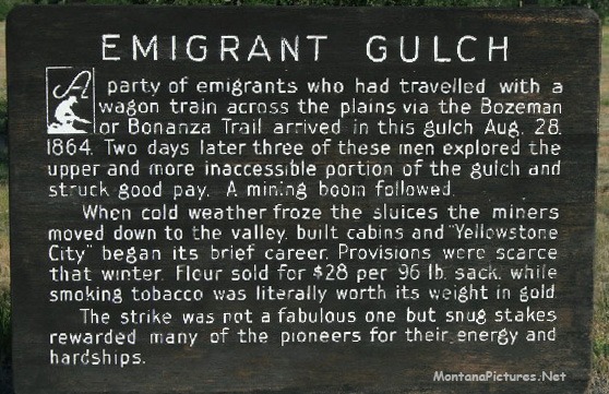
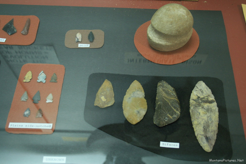
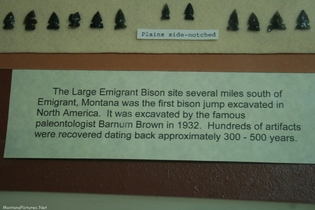
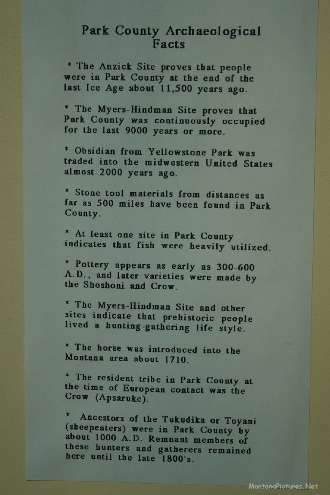
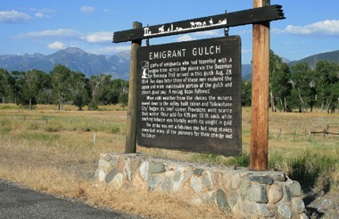
As you can read in the picture gallery below. Native Americans referred to the location on the Yellowstone River where Livingston, Montana sits as the “Big Bend” because the river abruptly changes from its northward coarse to flow east. Archaeological sites such as the Myers-Hindman Site proves that in Park County was continuously occupied for the last 9000 years or more (Yellowstone Gateway Museum). The resident tribe in Park County at the time of European contact was the Crow (Apsaruke).
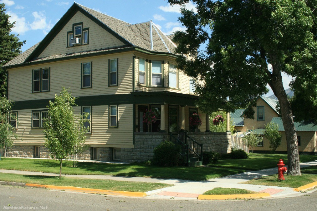
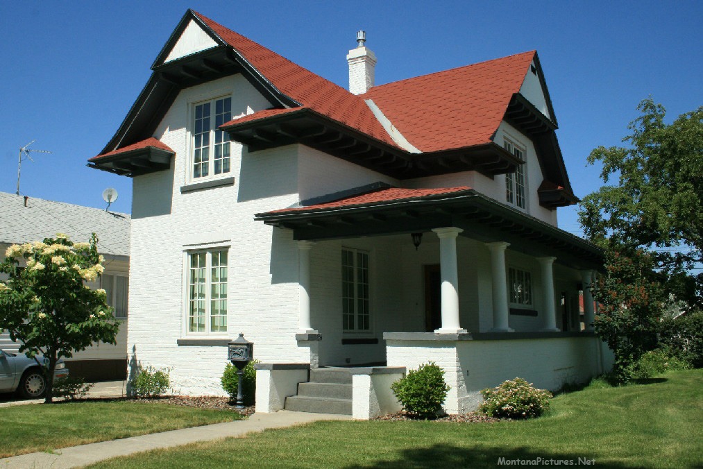
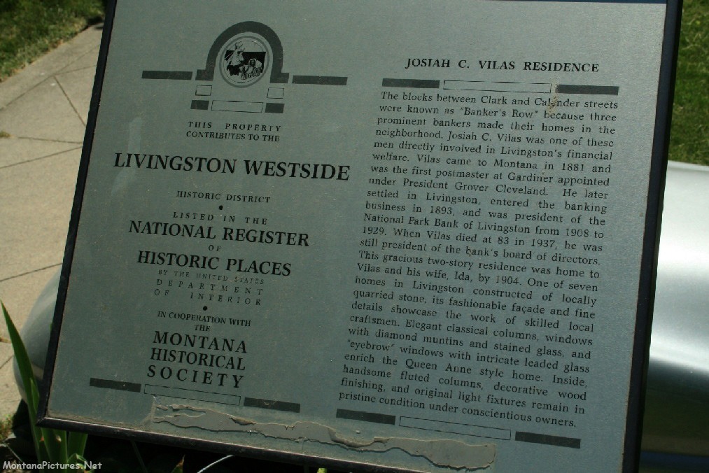
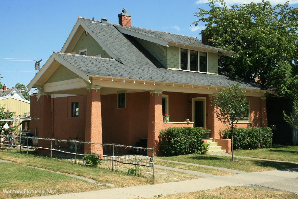
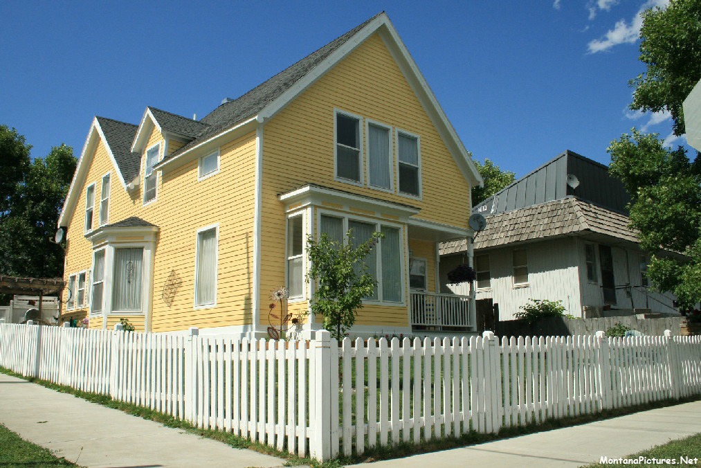
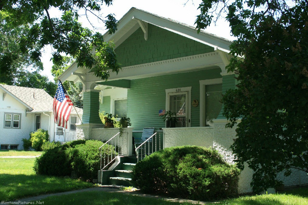
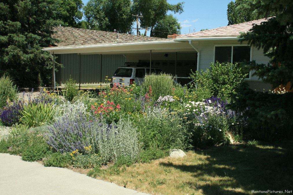
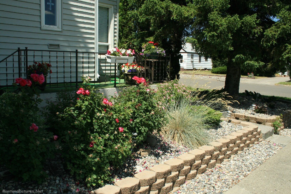
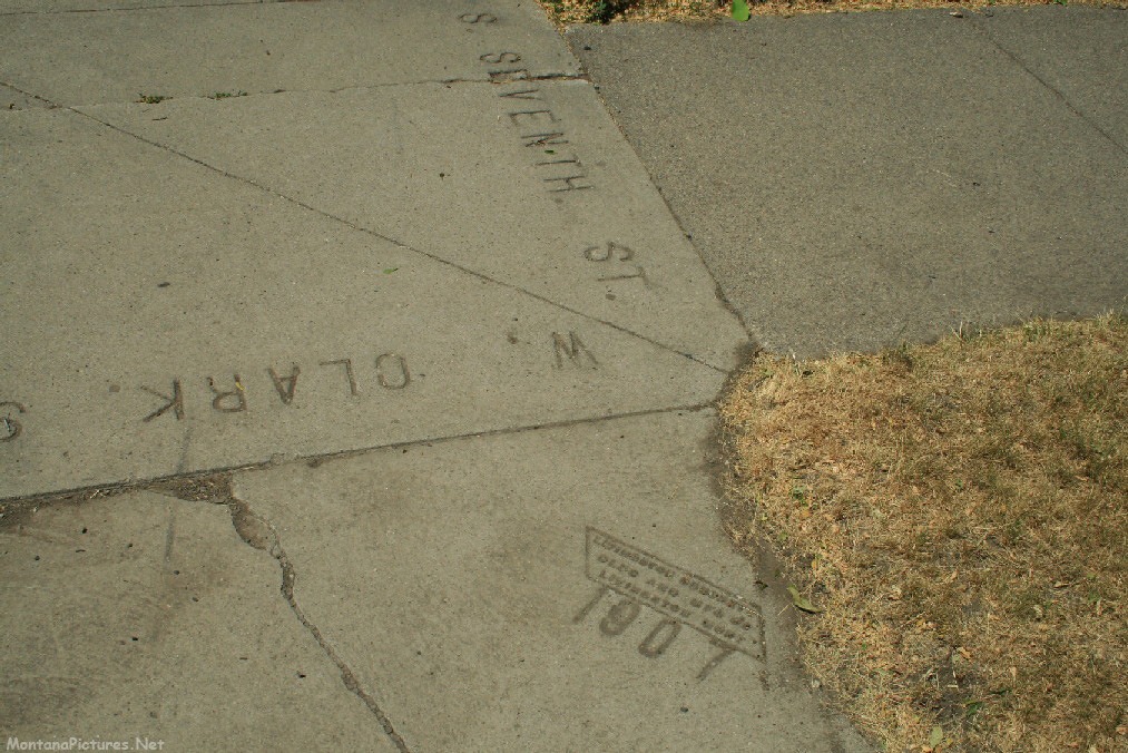
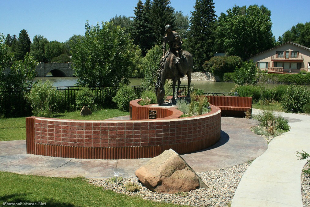
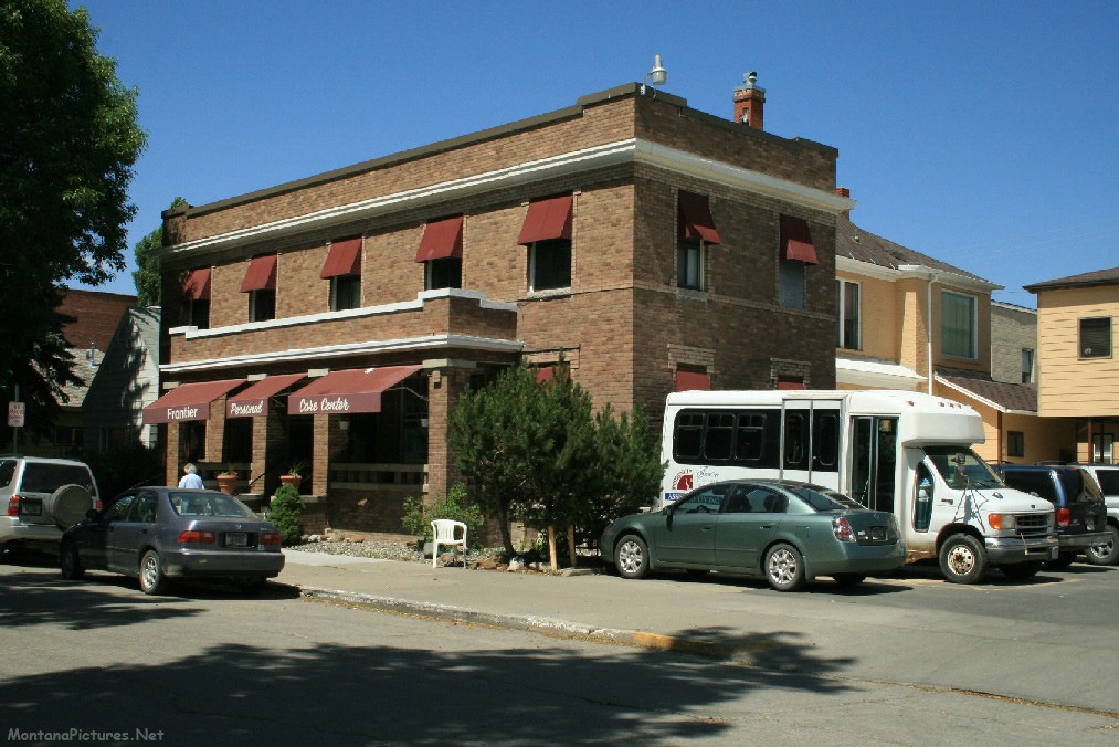
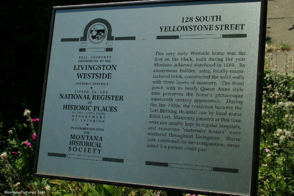
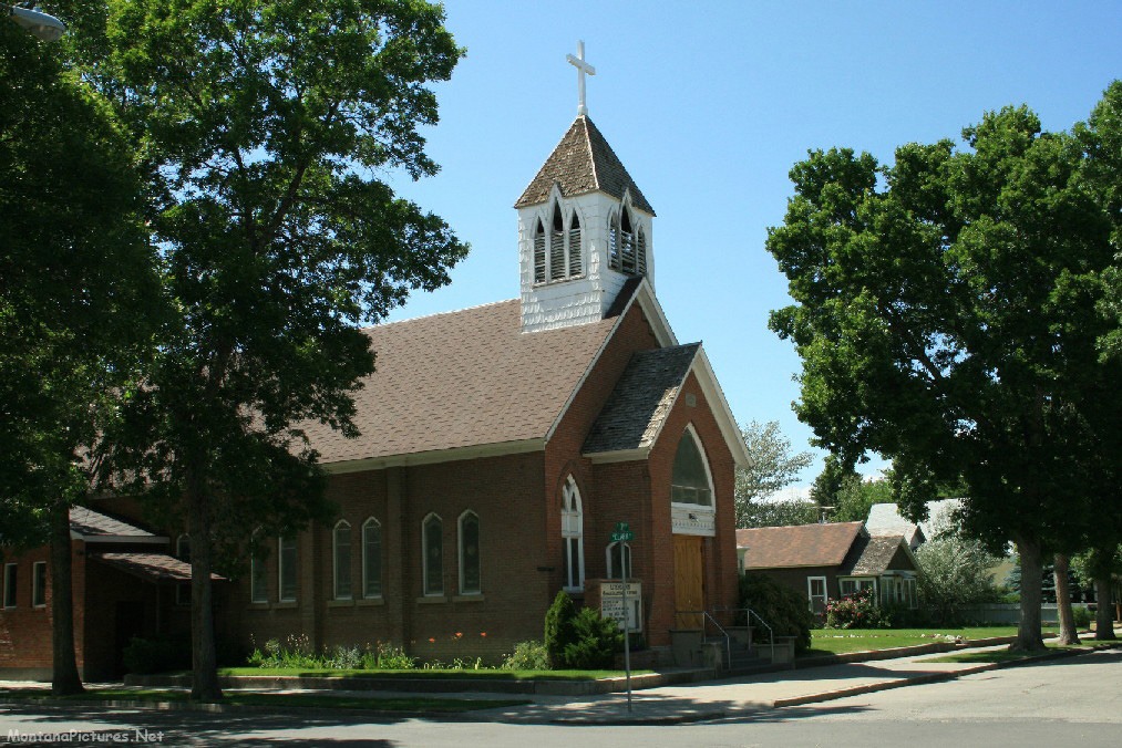
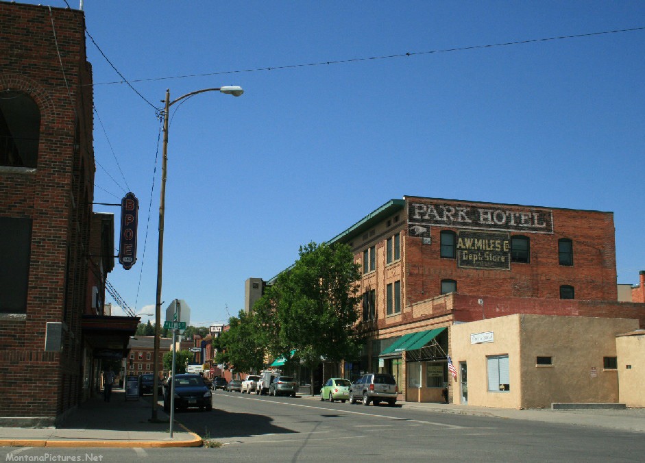
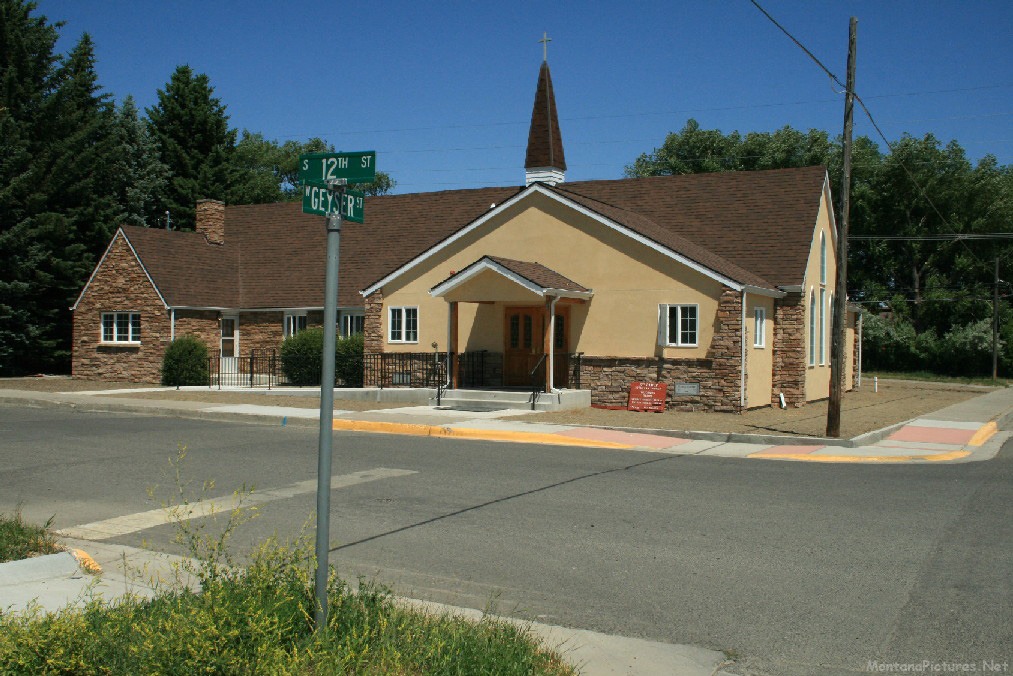
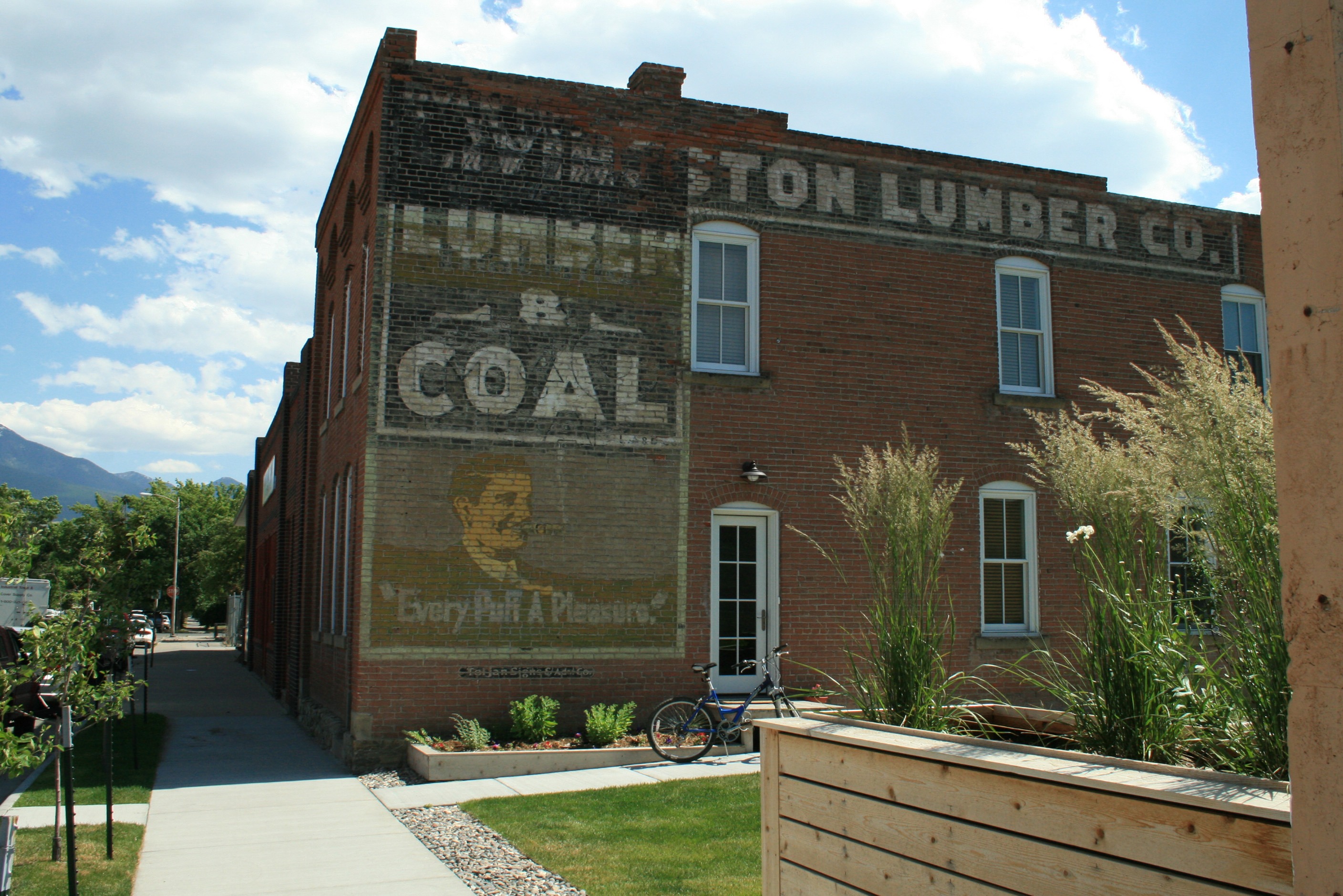
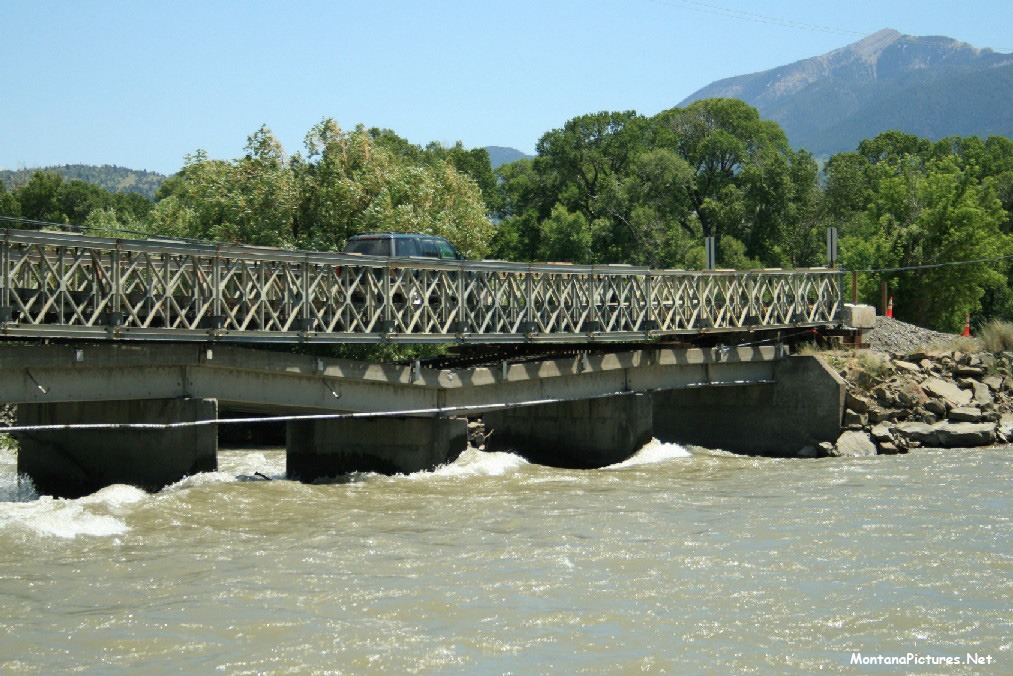
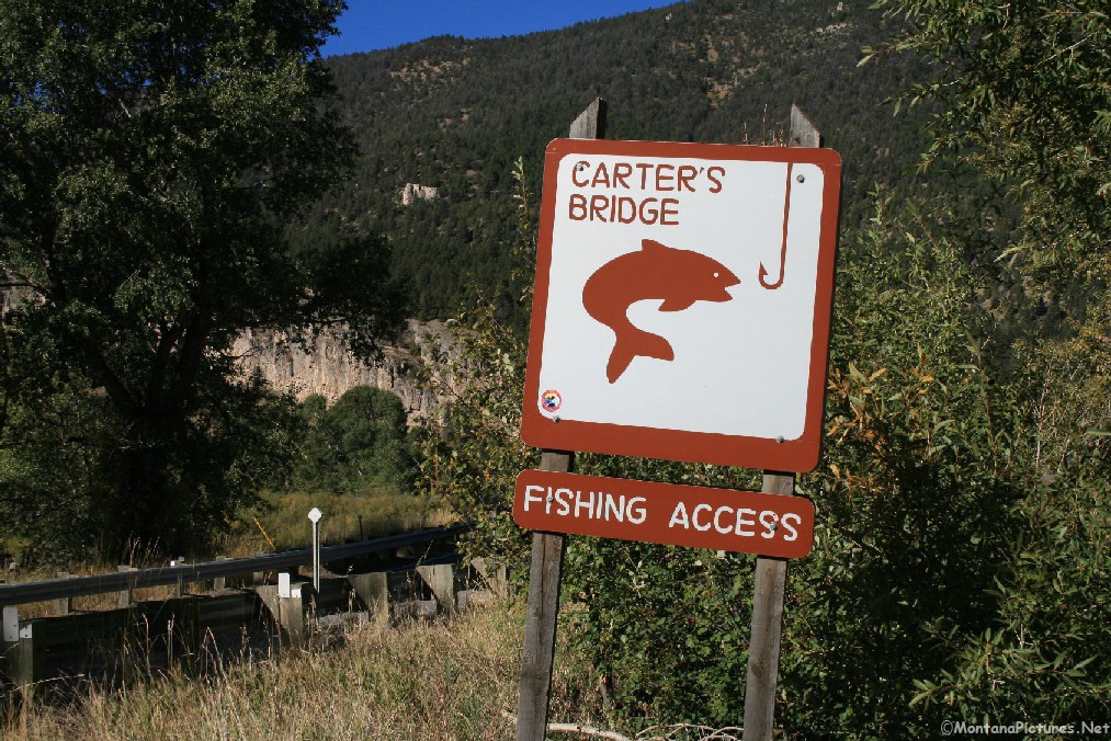
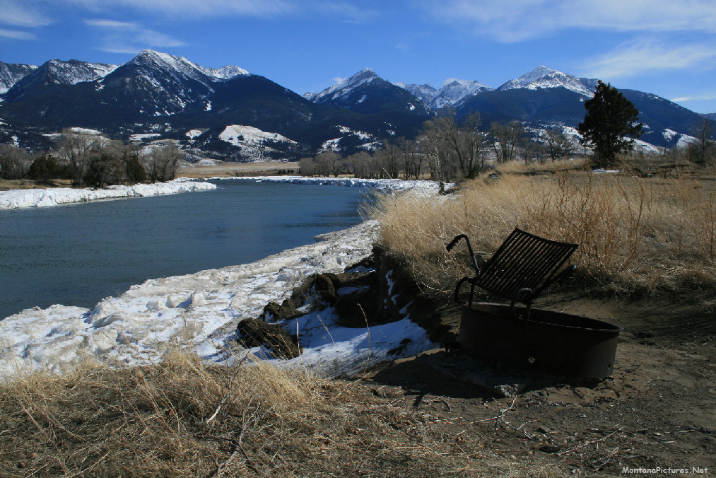
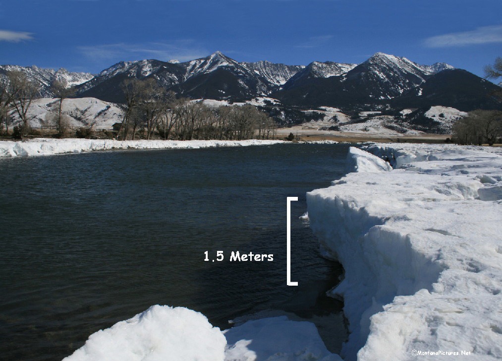
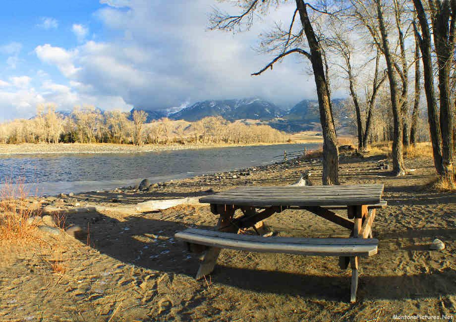
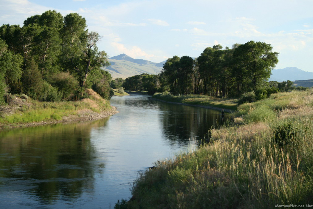
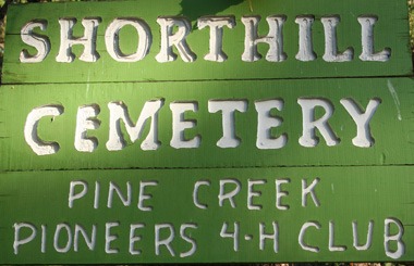
What we like about Livingston, is you can still find Tepee Rings on the east bank of the Yellowstone River near Livingston. The rings represent the timeless feeling visitors get when they explore the Livingston area. Join us as we walk around Livingston, Montana, then ride east along the Yellowstone River to Sheep Mountain and south to the pioneer era Shorthill Cemetery.
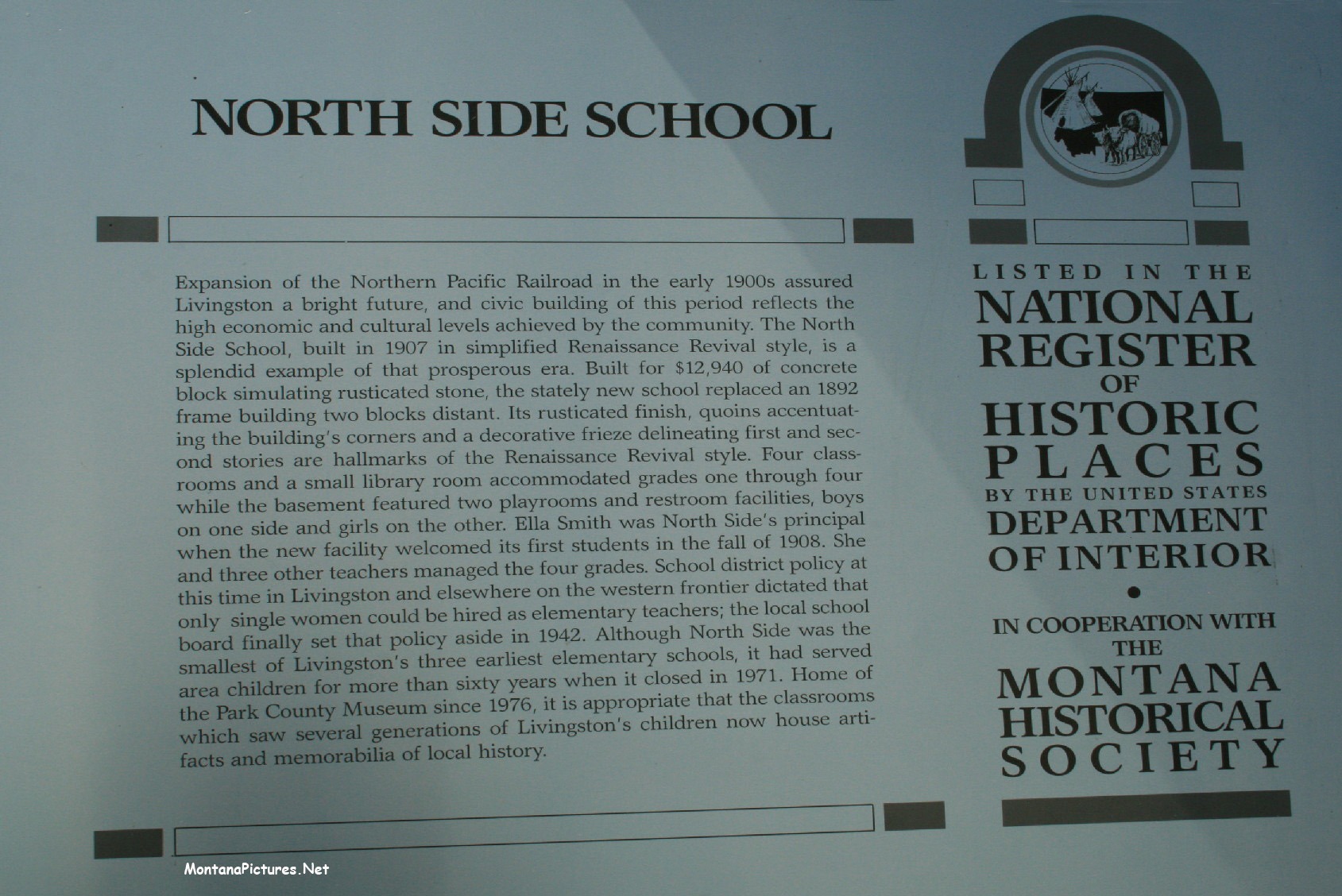
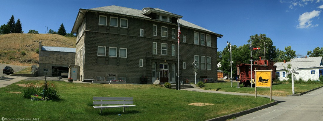
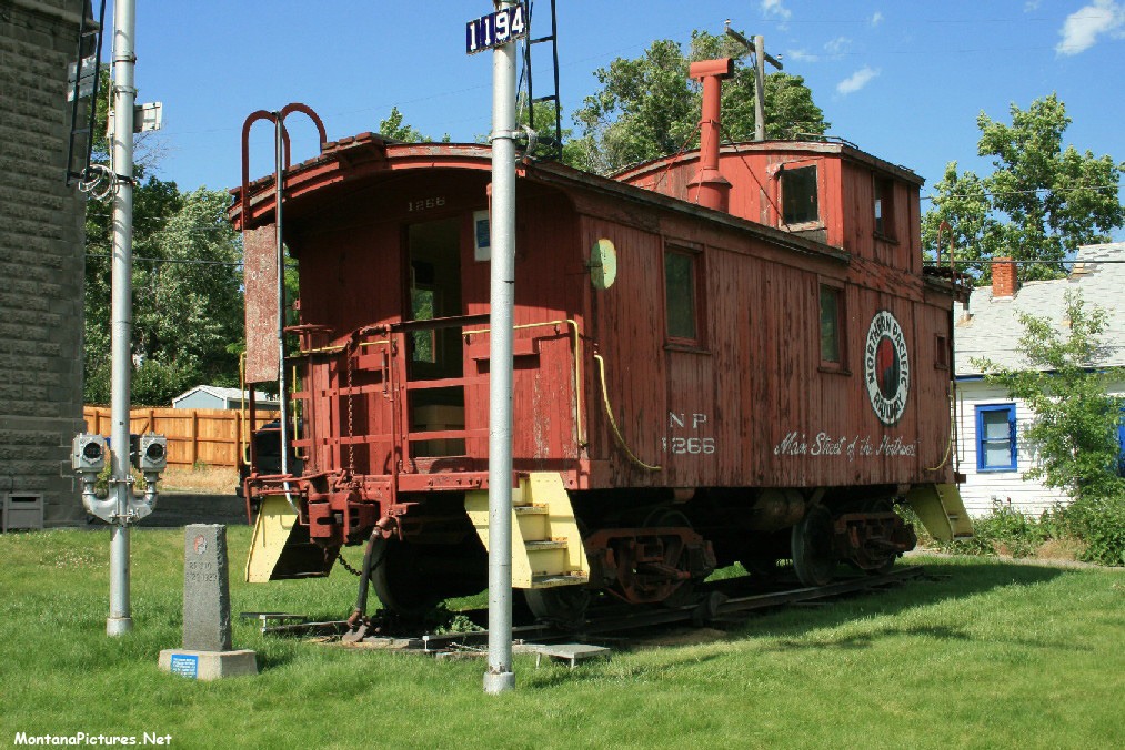
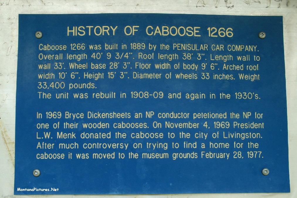
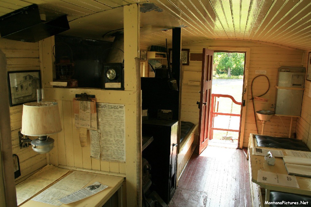
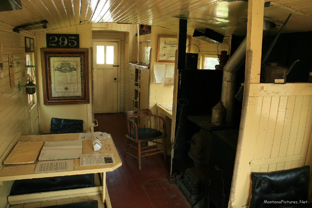
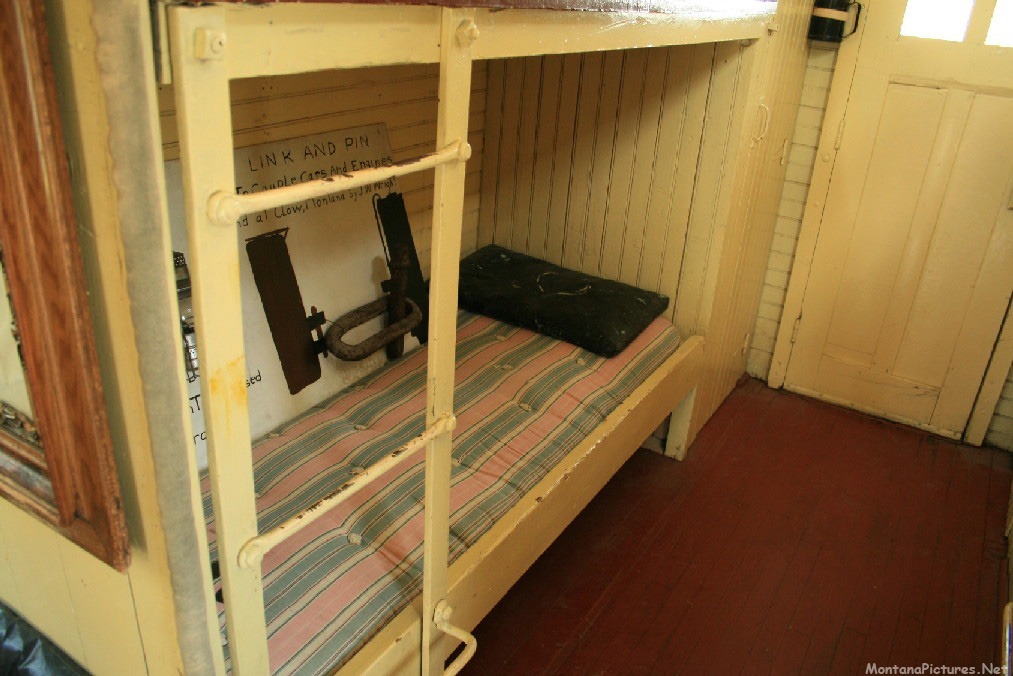
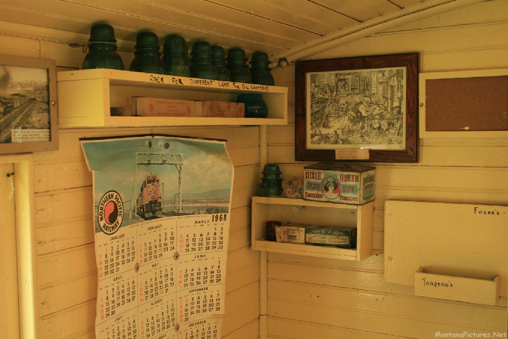
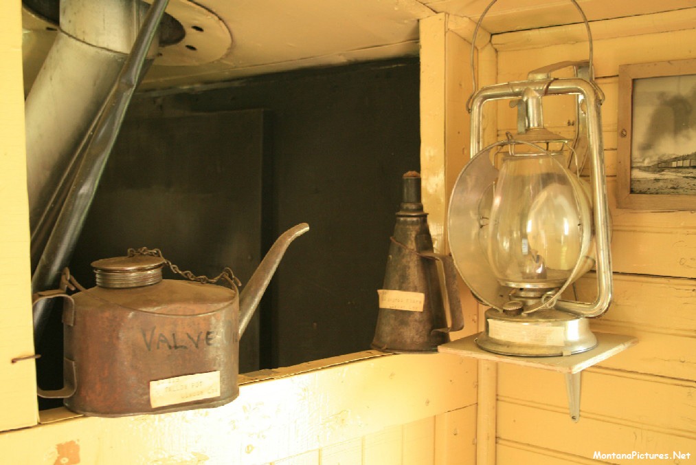
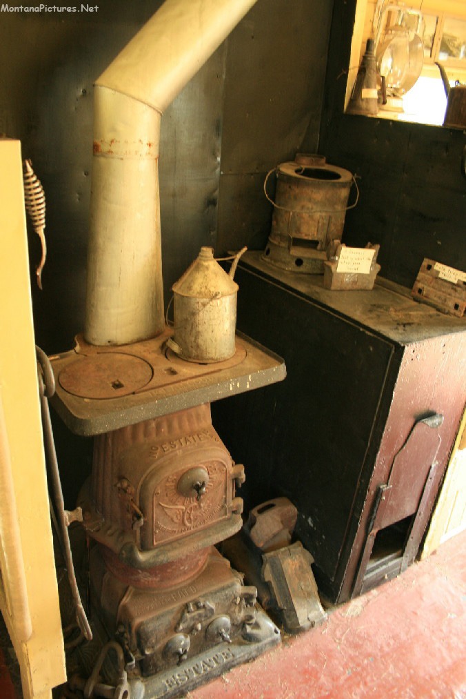
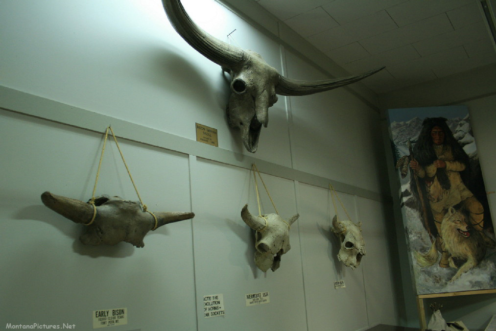
Interested in cultural and natural history? Plan to spend many wonderful hours in the Yellowstone Gateway Museum of Park County. Learn more about the original inhabitants of the area around Livingston and Yellowstone.
Recent Comments