
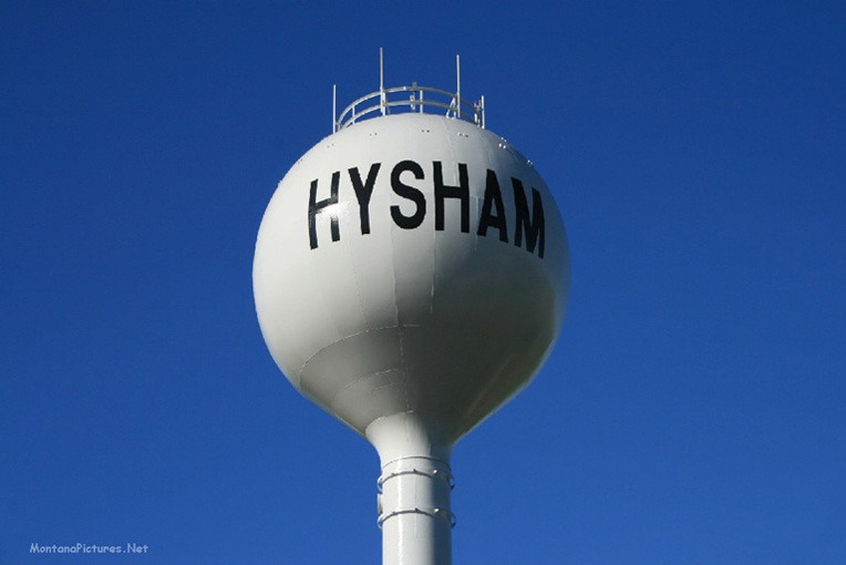
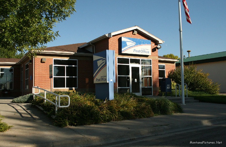
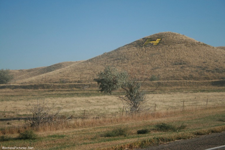
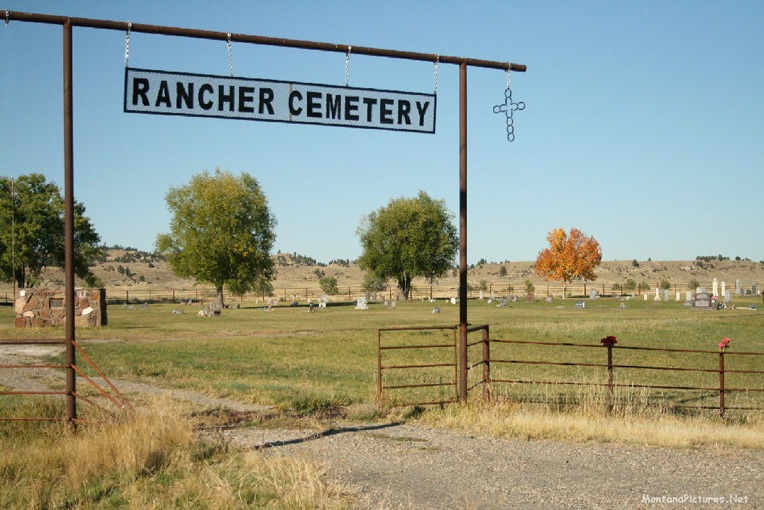
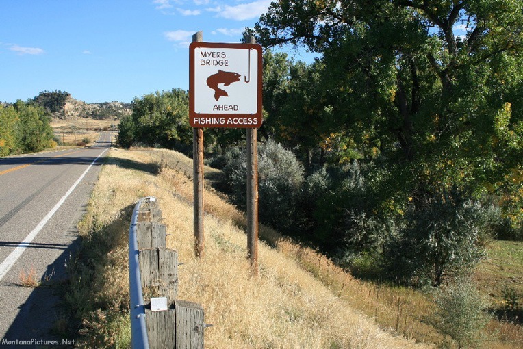
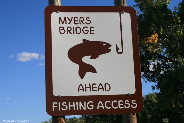
Welcome to the Hysham Montana Picture Tour
Join MontanaPictures.Net on a picture tour the agricultural town of Hysham, Montana. Located 77 miles northeast of Billings the town of Hyham and surrounding Treasure County makes a memorable autumn drive as you pass old school houses, the majestic Yellowstone River and enter the town of Hysham. During the Homestead Era there were more than 2,000 people in Treasure County.* Today, the town of Hysham, the county seat of Treasure County, has a population of 276. Did we mention that there are some famous part-time resident in Treasure County? Such as; Frank Borman, one of the first astronauts to orbit the moon and E. Stanley Kroenke, a son-in-law to Wal-Mart founder Sam Walton.*
* https://billingsgazette.com/news/state-and-regional/montana/boom-bust-treasure-county-residents-hang-on-to-hope/article_e8cd5530-85ec-51fb-b3b7-9b247b50152d.html
Charles J. Hysham
Red Oak, Iowa native Charles J. Hysham, had thousands of cattle grazing a huge expanse of Montana by 1900. His operation called The Flying E Ranch, had cattle roaming over an area that measured thirty-miles wide by ninety-miles tall. The land stretched side to side from the Big Horn River (Near Custer, MT) in the west, to Reservation Creek (Near Forsyth, MT) in the east. The top of the Flying E Ranch was bordered by the Yellowstone River to the north and went all the way south to the Wyoming-Montana state line, near Decker, Montana. Initially, trainmen from the Northern Pacific Railroad threw off supplies “for Hysham.” By 1901, the Northern Pacific constructed a siding for unloading the supplies ordered by Hysham from Billings and Forsyth.”*
* Tales of Treasure County – Historical Essays by Residents of Treasure County, Montana (1976) H&T Quality Printing, Miles City. p. 20
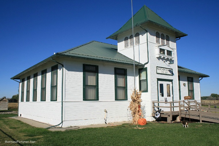
Howard School
Children first attended school in a log cabin at this site in 1882, the year the Northern Pacific Railroad completed its line through the Yellowstone Valley. The railroad brought growing numbers of homesteaders, and in 1904 the community replaced the old schoolhouse with this beautiful clapboard school. The upstairs was a combination of apartments for two resident teachers and a High School. Improved roads and declining enrollment had made it necssary to close the school in 1947. Luckily, the Howard Community Club took over ownership of the school house in the early 1980s to serve as a place for community gatherings.*
* The Montana National Register Sign Program, “Howard School,” Historic Montana, accessed January 2, 2022
Once Crow Indian Reservation
The sprawling Crow Indian territory is described in the 1851 Fort Laramie treaty. On May 7, 1868, the territory shrank to eight million acres (12,500 square miles) when the Crow sold around 30 million acres of their 1851 territory and agreed to live in a reservation. Land cessions to the United States approved in 1882, 1892 and 1906 cut the western and northernmost part of the 1868 reservation.* The reservation got its present shape (3,594 square miles*) after moderate land cuts in 1937 and in connection with the construction of the Bighorn Canyon Dam in the 1960s
* Lopard, James J., Margery Hunter Brown and Richmond L. Clow: Tribal Government Today. Politics on Montana Indian Reservations. Boulder, San Francisco, & London, 1990, acres p. 57.
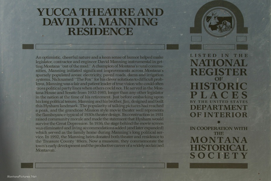
Need More Hysham Area History?
You can download the 1976 edition of “Tales of Treasure County” from the Montana History Project. Who knows you might discover some long lost family history in the book if you are from the Hyham-Forsyth area.


Recent Comments