
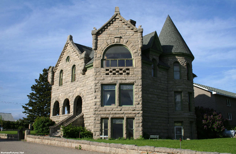
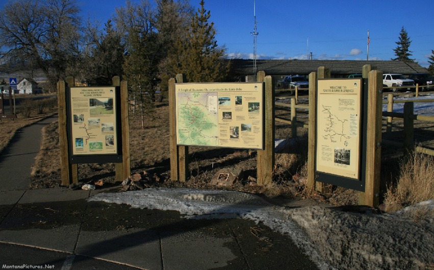
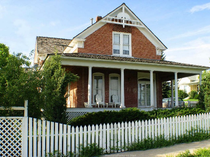
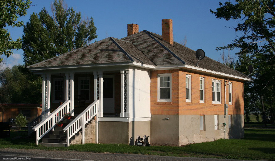
Welcome to the White Sulphur Springs, Montana Picture Tour
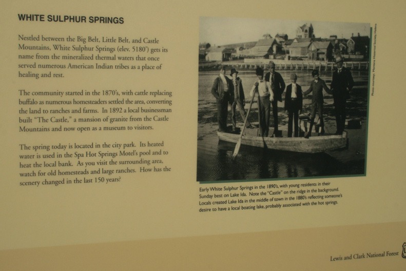
We have a sentimental soft spot for the the Smith River Valley. The Smith River was where I caught my first trout at age six. Camped on the banks of the river as a youngster with my family, I watched deer cross the stream in the darkness of night. The Smith is where I caught the fishing and hiking bug.
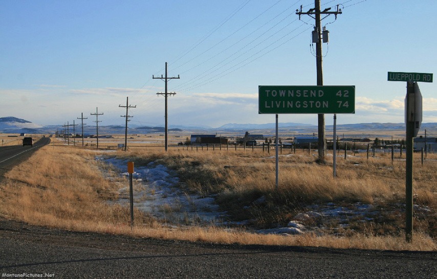
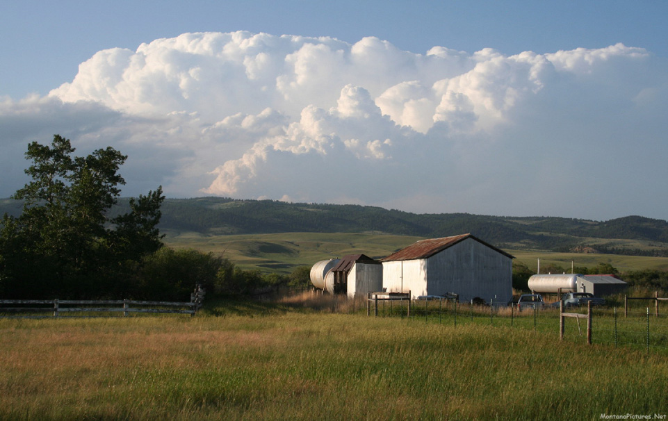
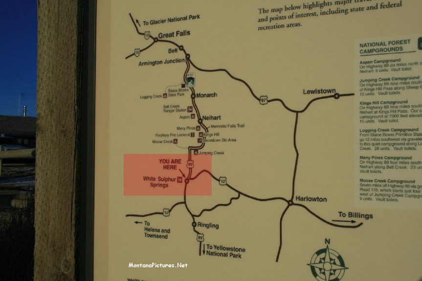
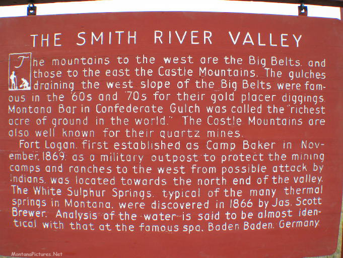
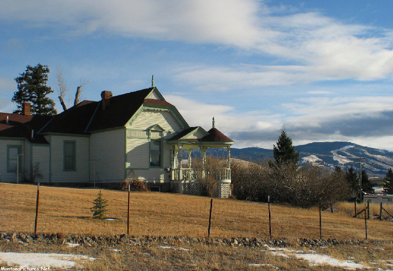
As you enter town from the south on Highway 89 you are struck by the rustic beauty of the valley. You have the Belt Mountains to the west and the Castle Mountains on the east side. Try to catch a June sunset in White Sulphur Springs, Montana. You can thank us later. P.S. Meagher County is pronounced “Mar” County.
Where is everybody?
The panoramas of Main Street are missing people, you might ask, where are they? The photographs were shot in June. This is a working agricultural town, people have got work to do. Come back on the “Fourth of July” or late July for the “Red Ants Pants Music Festival” if you want to see an estimated six thousand people attending the festival.
Fantastic Basecamp
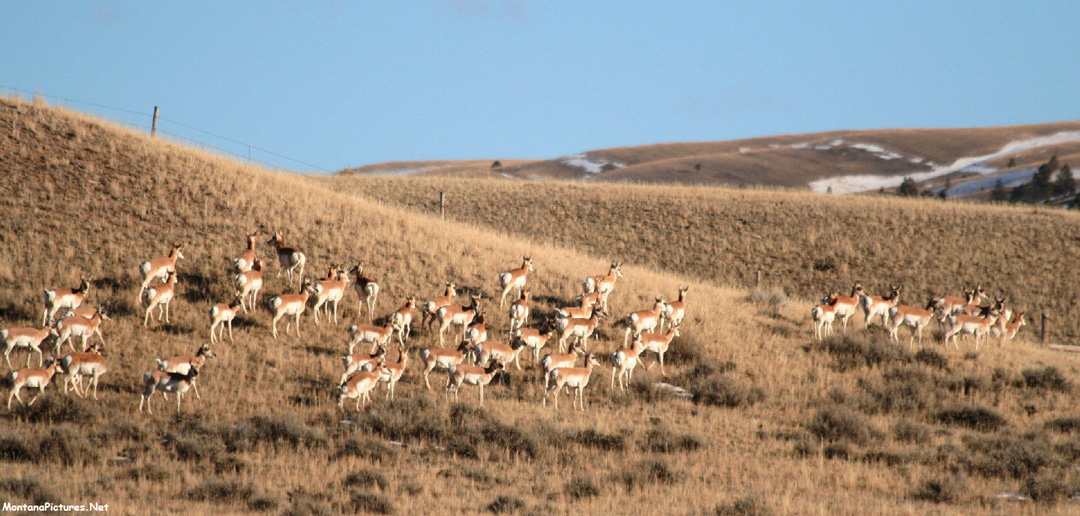
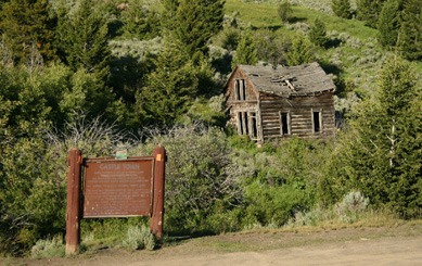
The town is a great place to rest in the hot springs after a day riding north to Fort Logan and Camp Baker. Got a truck? Then ride west over Duck Creek Pass for some great views and lots of antelope. Like Montana history? Ride east to Checkerboard, Lennep, Martinsdale, The Bair Family Art Museum and the Castle Ghost town. Want to get fancy? Ride south to Livingston.

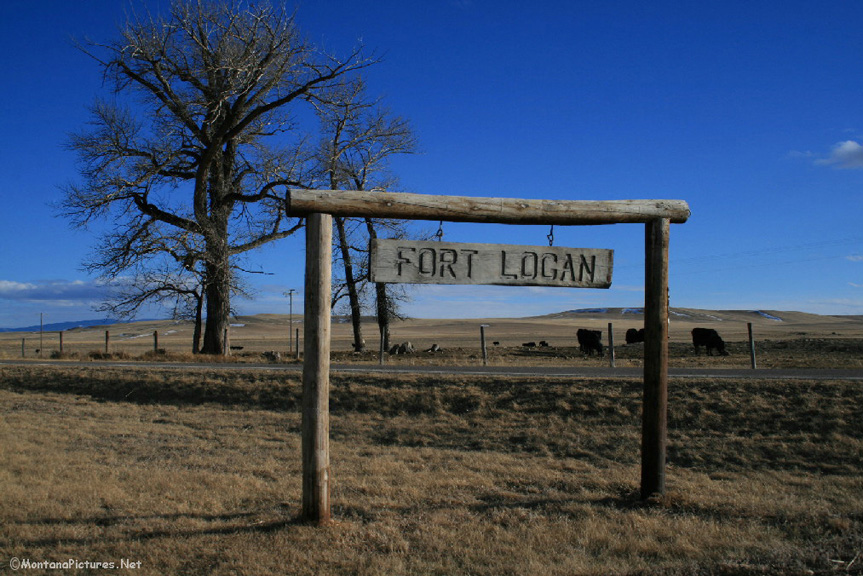
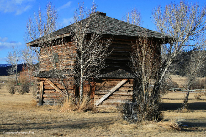
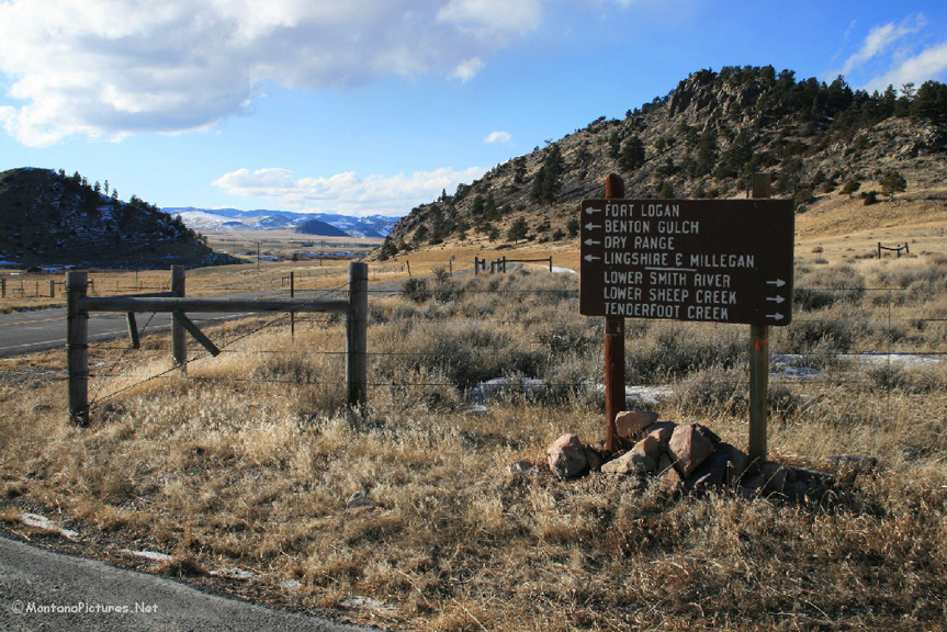
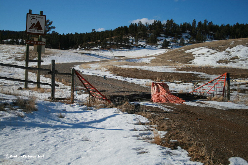
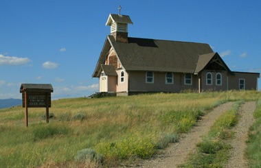
Fort Logan, Montana
Ride twenty miles northwest of White Sulphur Springs on State Route 380 to see Fort Logan (1870-1880). Fort Logan was an early-day Army fort built to protect miners at the nearby Diamond City and travelers along the Fort Benton-Helena road. The fort was originally named Camp Baker, and established in March 1870. Fort Logan was renamed for Captain William Logan, who fell at the Battle of the Big Hole in 1877.
Camp Baker
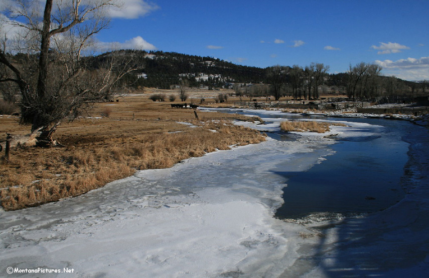
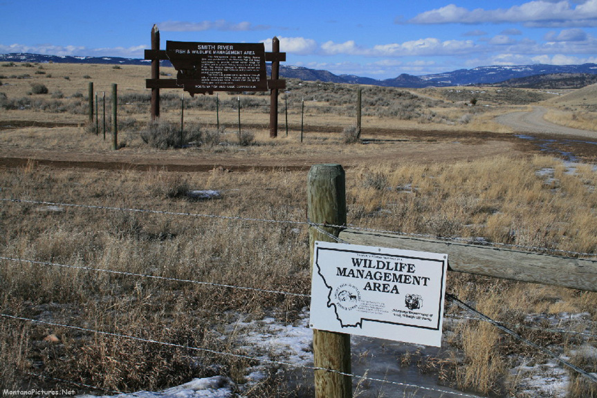
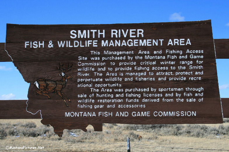
Continue farther north to fishing access site Camp Baker, on the Smith River, the starting point of the unforgettable 59-mile long Smith River Float. You will need a permit to float the river but all you need is a valid fishing license to wet a line.
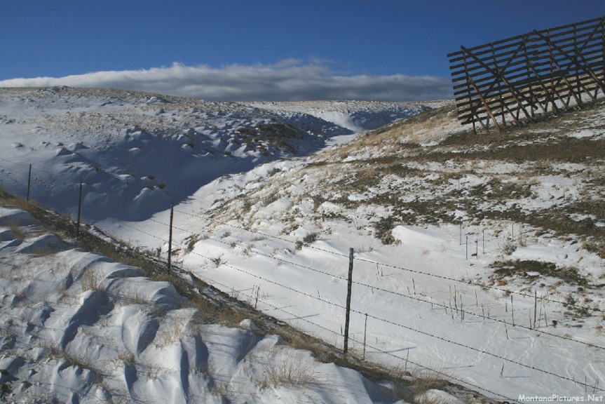
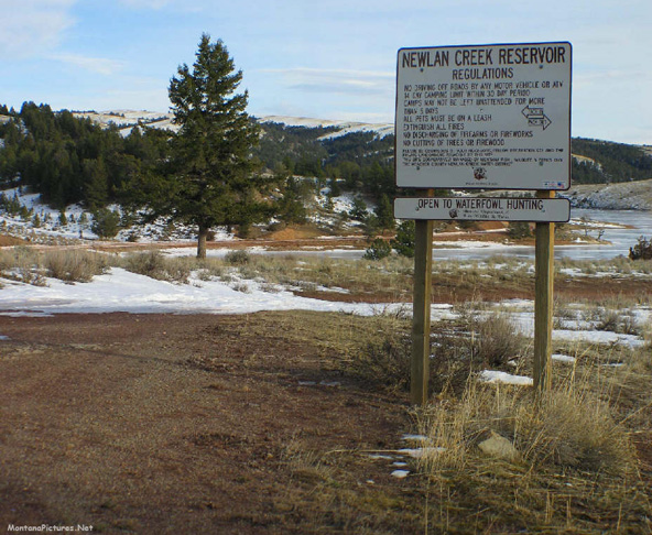
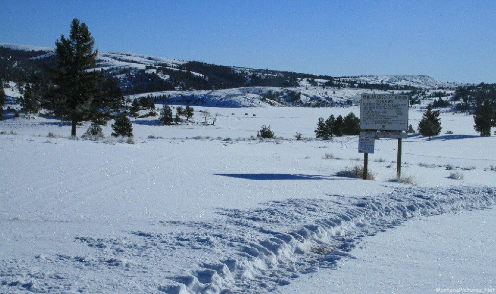
Newlan Reservoir
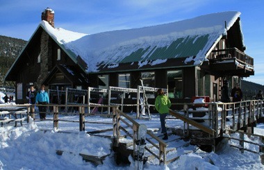
On the return trip back to White Sulphur Springs, you can make a loop by riding to Newlan Reservoir then connecting with Highway 89 for the return trip back to town. If you like, we included a video on how we winter camp near Newlan Reservoir during the months of December and January.
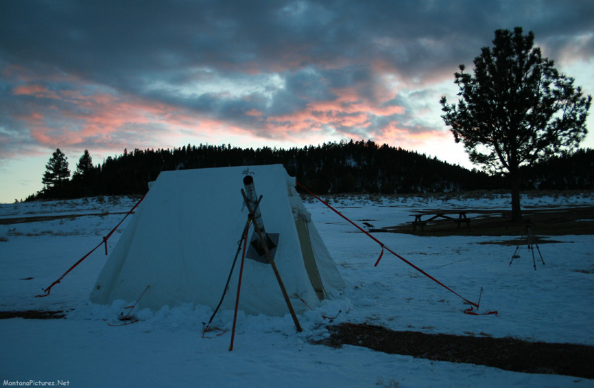
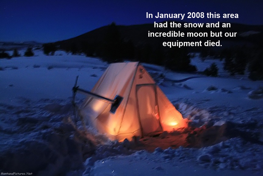
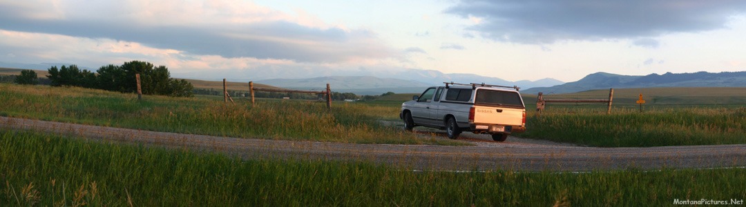
Winter Camp North of White Sulphur Springs
Recent Comments