
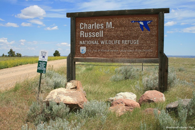
Welcome to the James Kipp Recreation Area Picture Tour
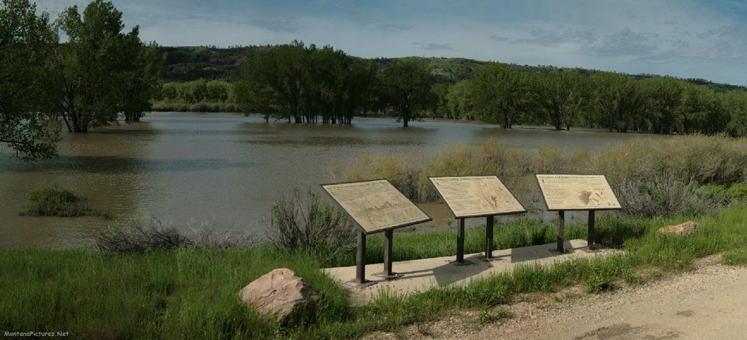
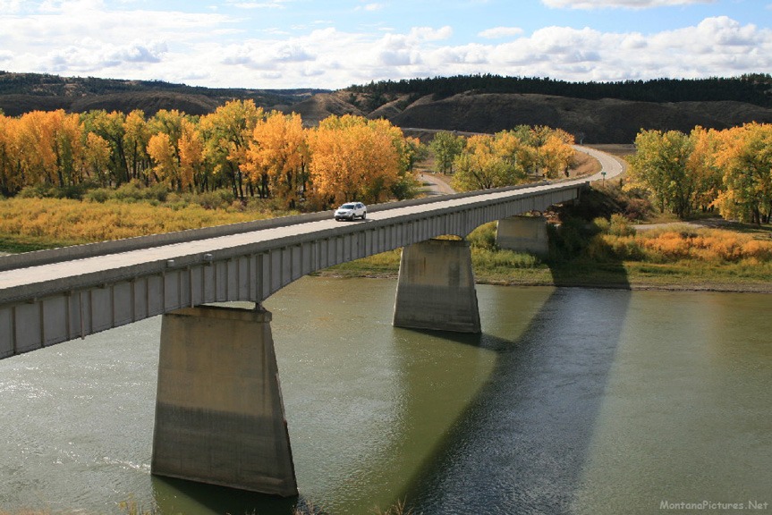
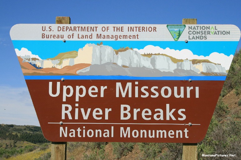
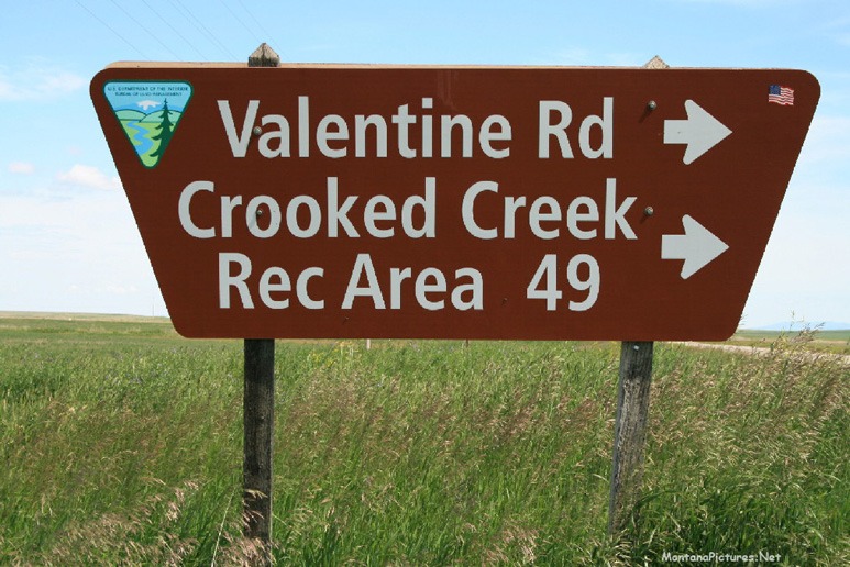
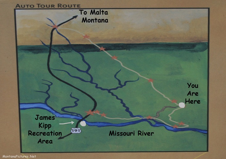
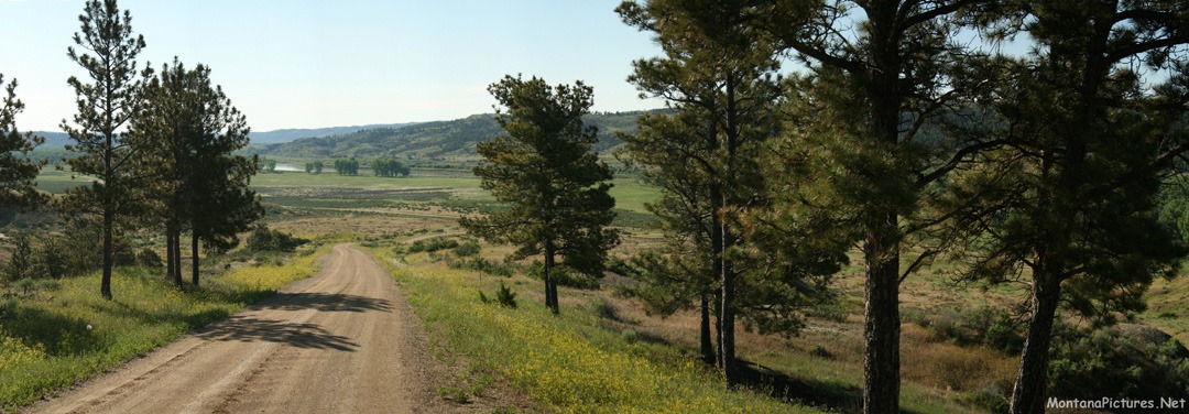
You are looking at the Fred Robinson Bridge on the Missouri River (above). This view is for the approximately 7,000 people who paddle the 148 miles from Fort Benton, Montana to the Fred Robinson Bridge each year. Even though we were born in Montana, the first time we made the trip we didn’t know what the Missouri River destination would look like. The overlook above the Fred Robinson Bridge on the Missouri River is the beginning of a spectacular nineteen-mile-loop that will give you a visual “taste” of the Charles M. Russell National Wildlife Refuge. If you are short on time, make a point to drive one mile east of the signs pictured above. At the one mile mark you will be able see the early beginnings of Fort Peck Lake.
Why float the Missouri River
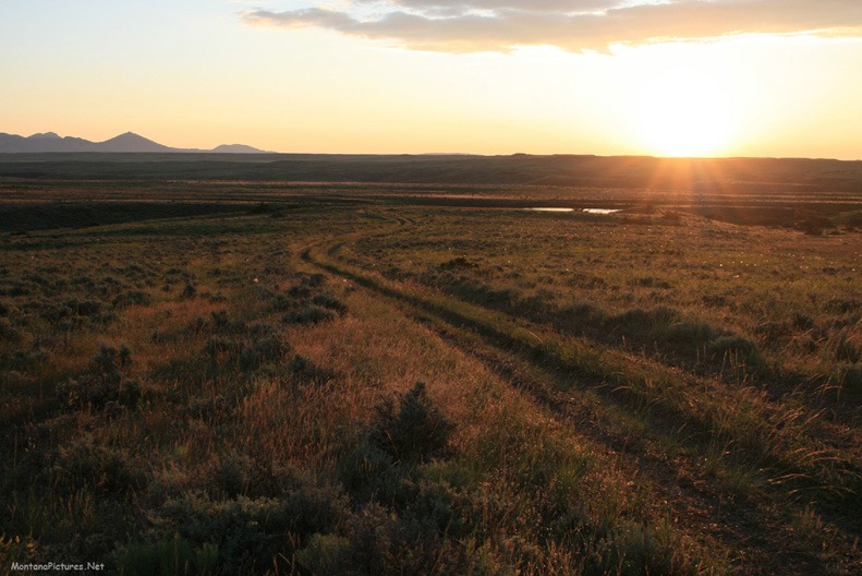
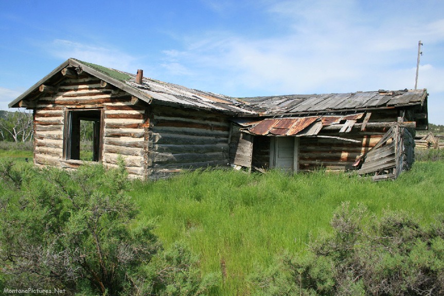
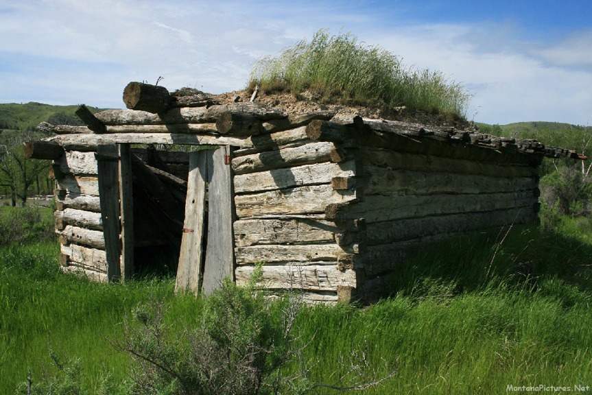
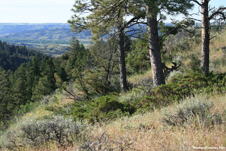
So why float the 148 miles of the Missouri River from Fort Benton to the Fred Robinson Bridge? It’s one of the fastest ways we know to slow the pace of life. If you don’t feel comfortable in a canoe, jump on a four-man raft and live a “Huckleberry Finn” adventure for five days. During the float, the only signs of human activity are the silent log cabins of the Missouri River pioneers. (The Missouri River cabins pictured below were photographed two miles east of the Fred Robinson Bridge.)
Need Ice Cream?
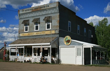
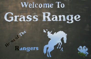
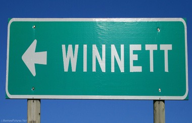
We will hike or paddle anywhere as long as there is ice cream at the end of the trail. Drive south of the Fred Robinson Bridge on Montana State Route 191 to Bohemin Corner Gas Station to get your ice cream “fix.” From here you can continue south on State Route 19 to Grass Range, Montana or continue west on State Route 191 to see Roy, Montana and beautiful Lewistown, Montana.
Listen To The Morning Concert
Take a Three Minute Break and Listen to the Birds greet the Rising Sun in the Charles M Russell National Wildlife Refuge.
The two lane road you see in the beginning of the video was my Nemesis on 6/23/19. The 1:30 AM plan was to ride down the water and camp. Luckily, I had stopped and backed the car away from the water and towards solid ground. I almost made it. We returned to this area the following weekend to record the birds. On the second visit we made it a point to walk to the water and leave the car on the road.
Recent Comments