
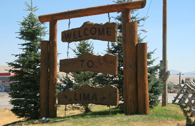
Welcome to the Lima, Montana Picture Tour
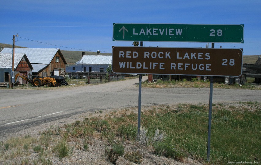
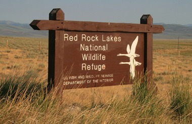
During our visit, the hills around Lima, Montana had turned a golden brown under the hot July sun. This was the only opportunity we had to photograph Lima and two remote Montana locations very few visitors make the time to see in person. The first location was the “M-Y Stage Line” (Monida and Yellowstone Stage Company 1898-1913) that started at nearby Monida, Montana and ran east past the present day Red Rocks National Wild Life Refuge and into West, Yellowstone.
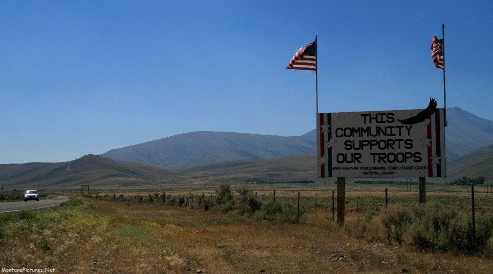
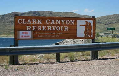
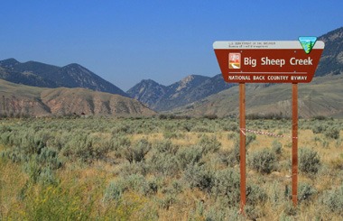
The second location was the remote Big Sheep Creek Backcountry Byway. The fifty-five mile dirt road begins near Dell, Montana, runs west past the Tendoy Mountains and empties into the spectacular Medicine Lodge Valley. You reluctantly pop out of the valley at Highway 324 near the Clark Canyon Reservoir. We have picture tours of both Montana locations. For now let’s explore Lima, Dell and Monida, Montana.
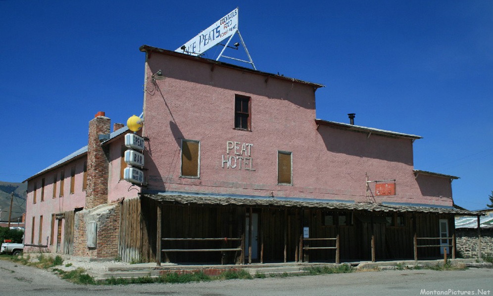
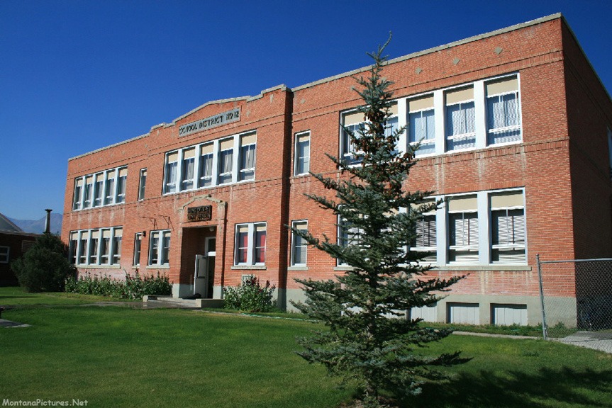
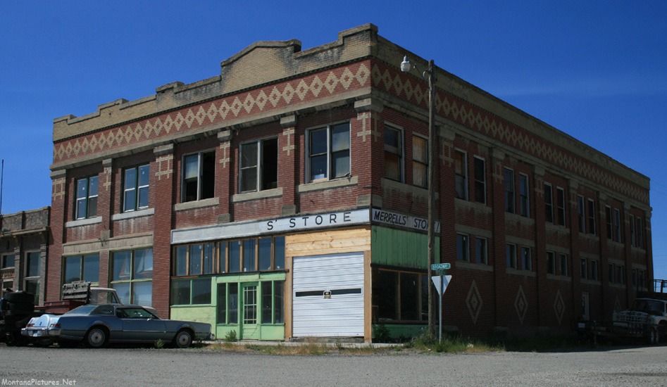
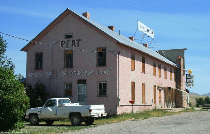
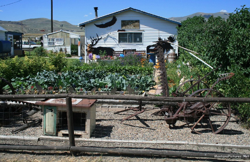
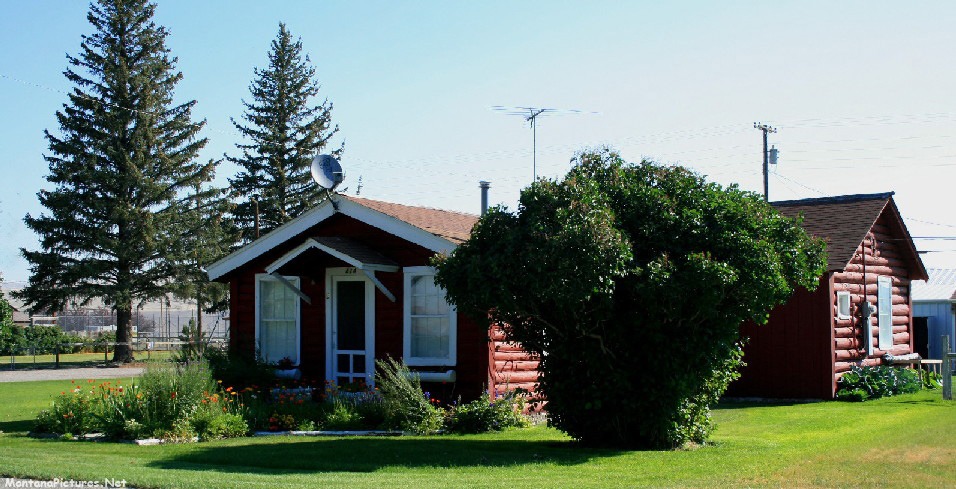
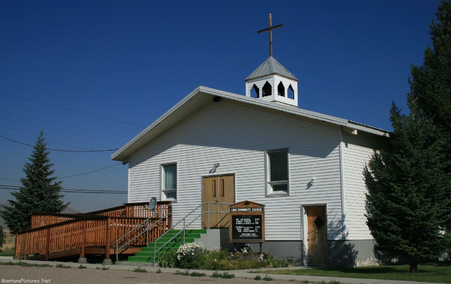
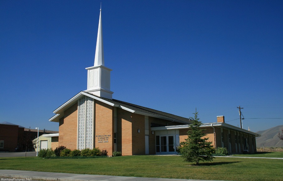
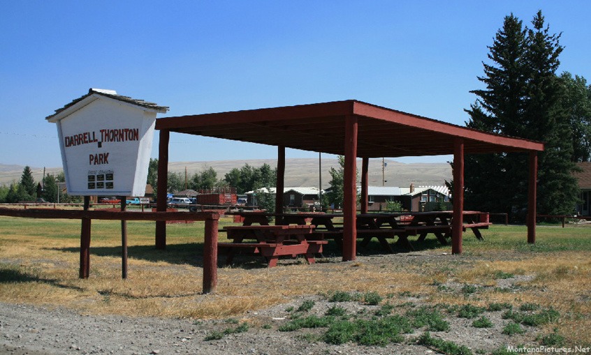
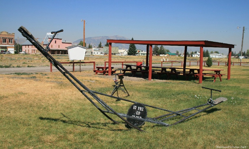
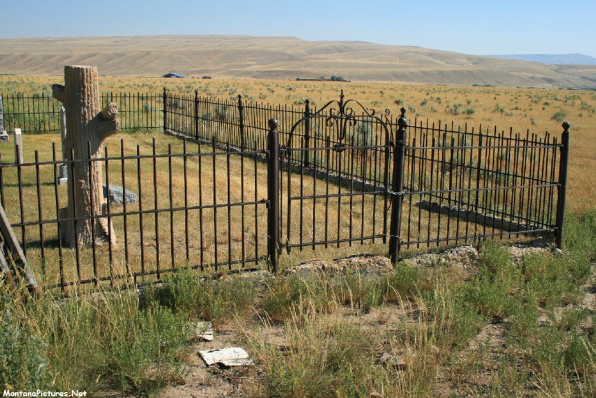
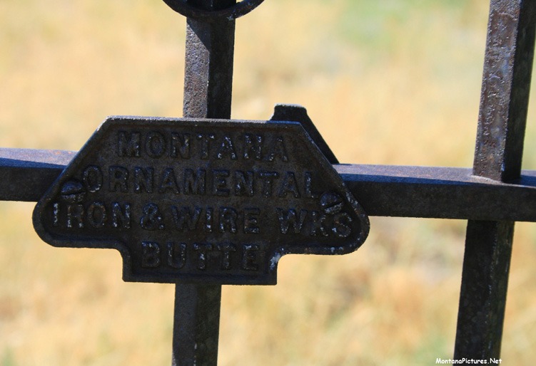
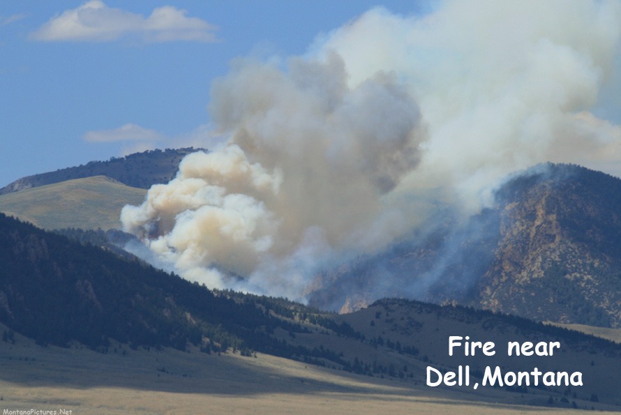
While in Lima, Montana, we’ll see the Lima Theater, the pink “Peat Hotel & Bar,” the old Merrell Store, Darrel Thorton Park and the Lima Elementary School – Home of the “Lima Bears.” Afterwards, we’ll walk out to the Lima Cemetery for a little history. Can you see the “haze” in the sky? There was a small forest fire burning north of town while we were shooting pictures (picture below).
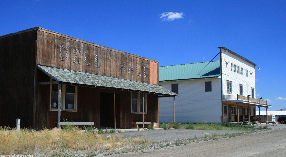
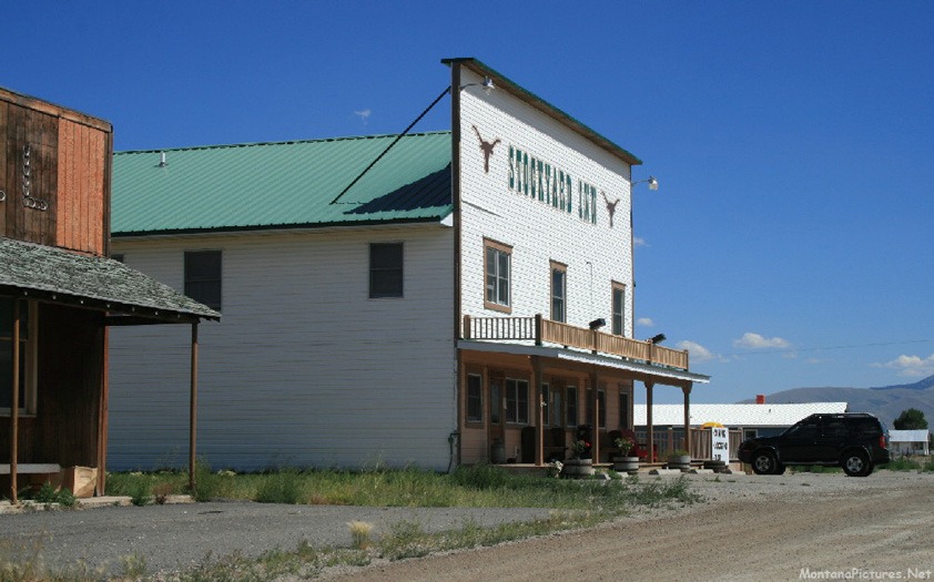
Dell, Montana
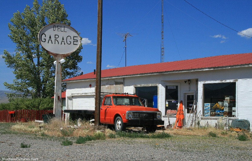
In our Glasgow, Montana Picture Tour was talked about the former WWII airbase north of town (St Marie) that was used by brand new B-17 bombers as a refueling stop on their way from Seattle to the East Coast. Fairchild AFB in Spokane, Great Falls and Lewiston, Montana were also active airfields. So what happened if a military plane experienced mechanical problems while flying over southwest Montana? That’s where Dell, Montana came to the rescue. The United States Army Air Force built the the Dell Flight Strip in 1942 as an emergency landing airfield for military aircraft on training flights.
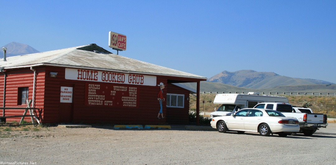
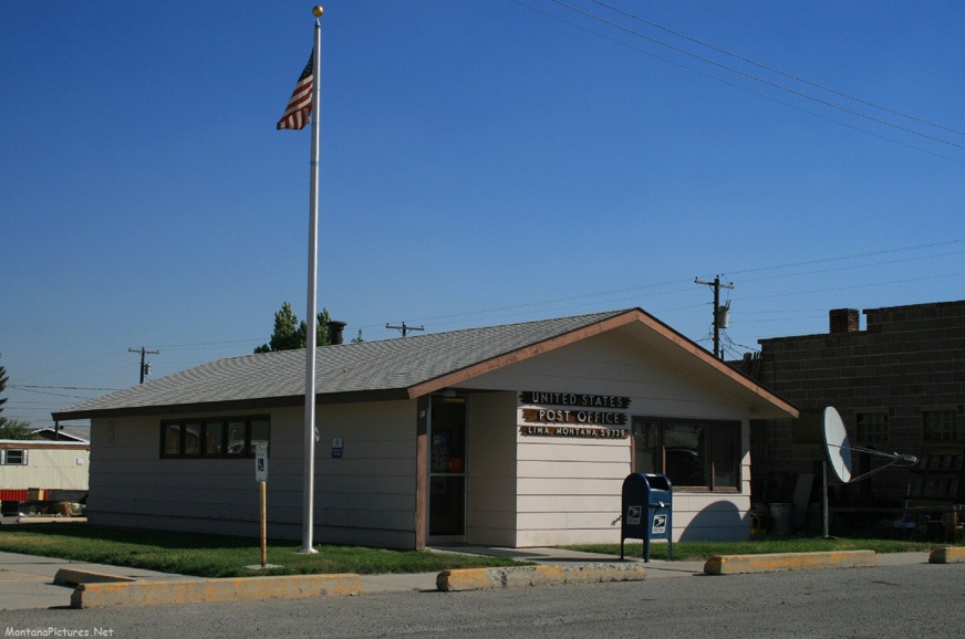
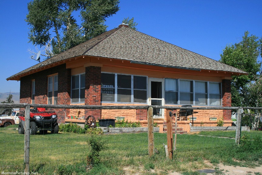
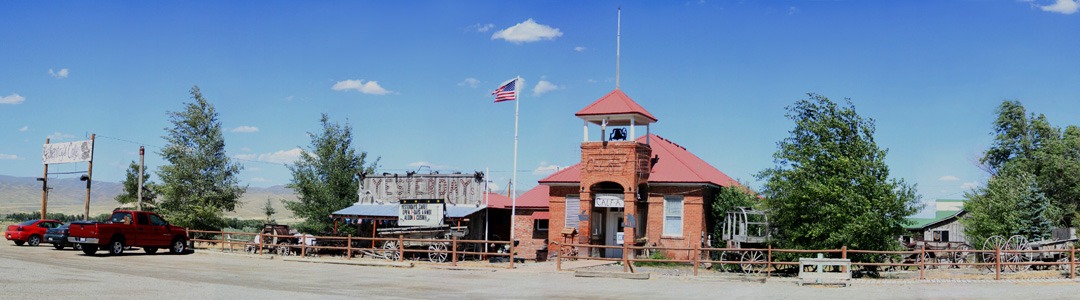
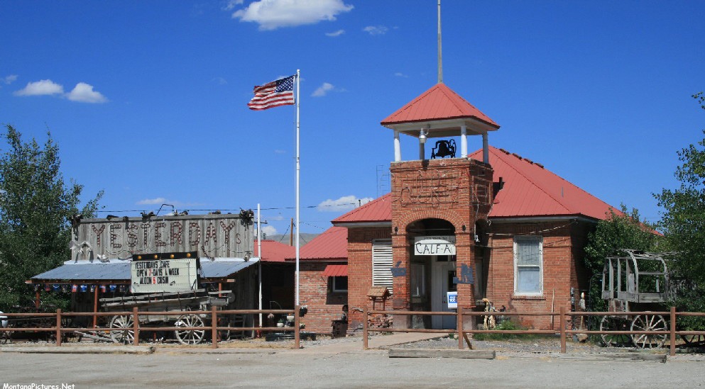
Today Dell, Montana is where thousands of visitors flying down Interstate 15 rest at the Dell Schoolhouse Cafe for a great meal. The “must see” Montana cafe is a former one-room brick school house that was built in 1903.
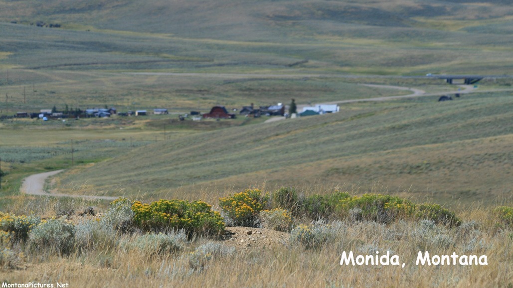
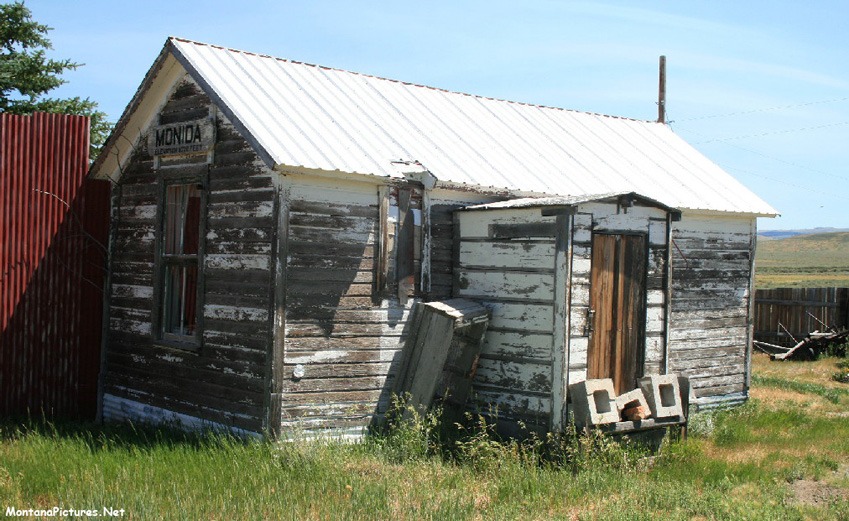
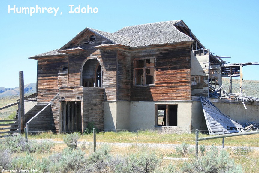
Monida, Montana
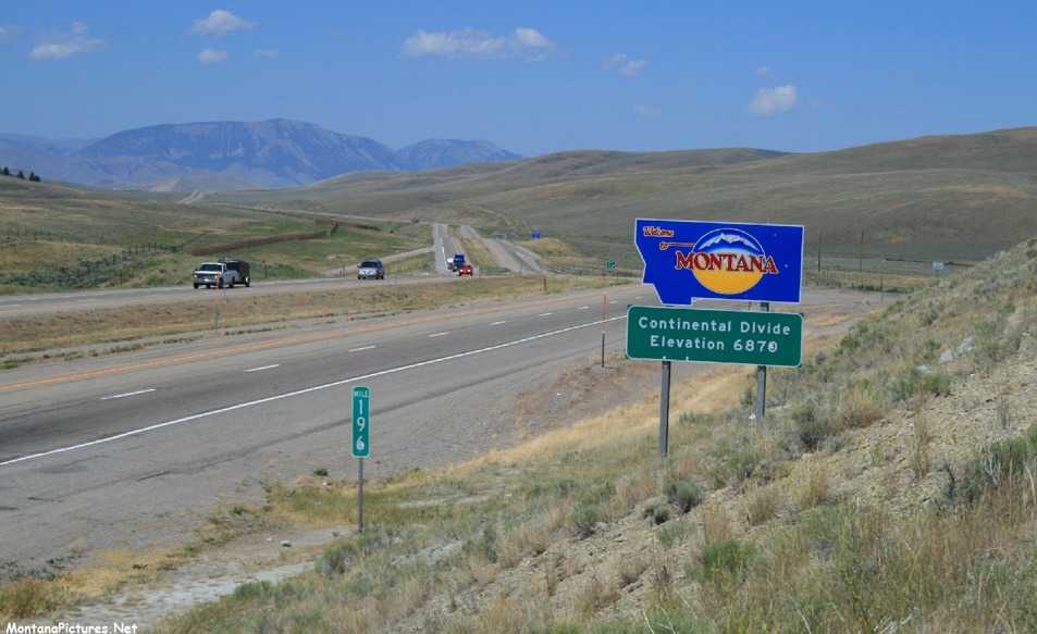
Before Interstate 15 was completed it seemed like everyone in SW Montana had a hair raising story about crossing Monida Pass 6820 ft (2079 m) in a howling winter blizzard. We’ll stop at a couple landmarks found along the old Highway to see what our Grandparents witnessed decades ago.
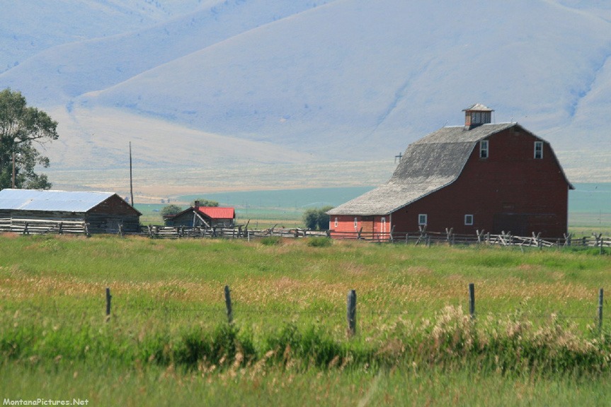
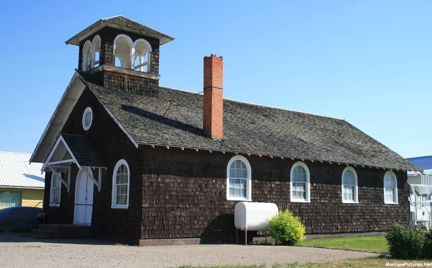
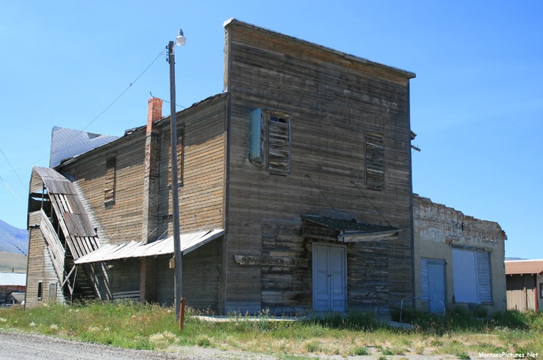
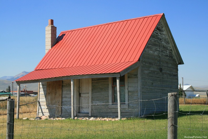
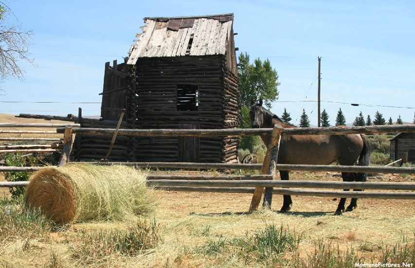
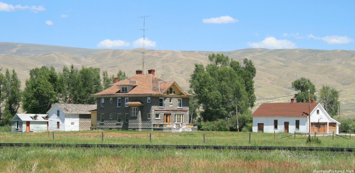
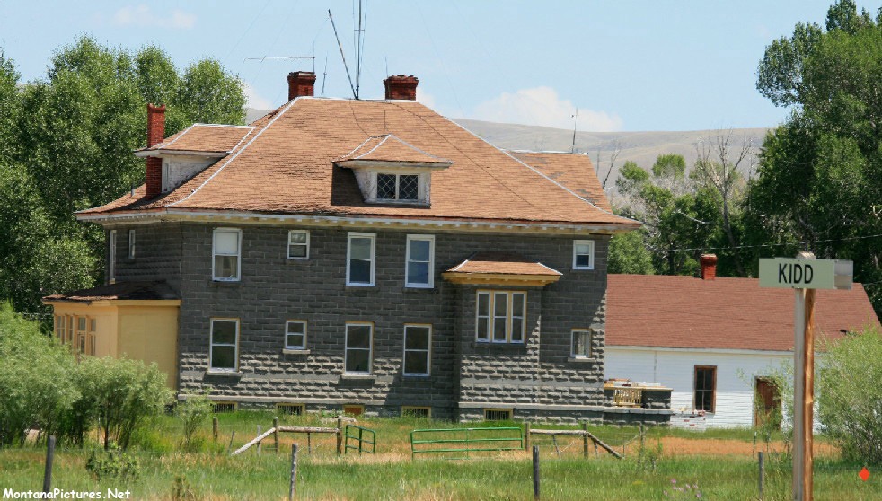
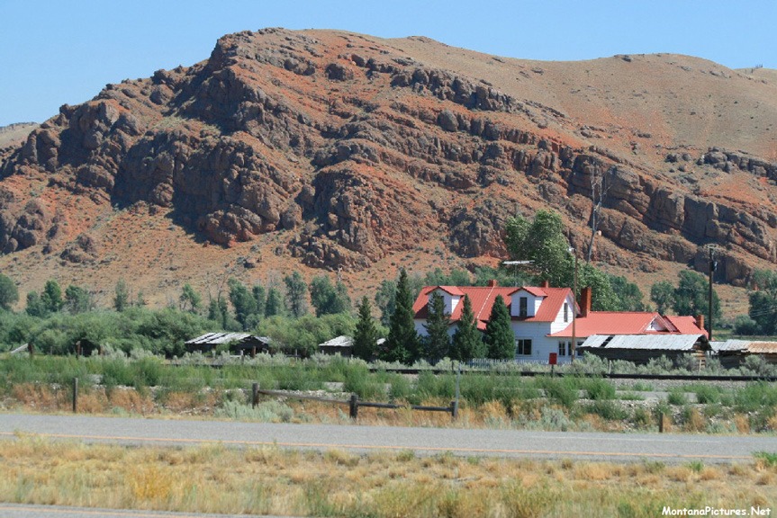
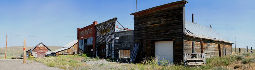
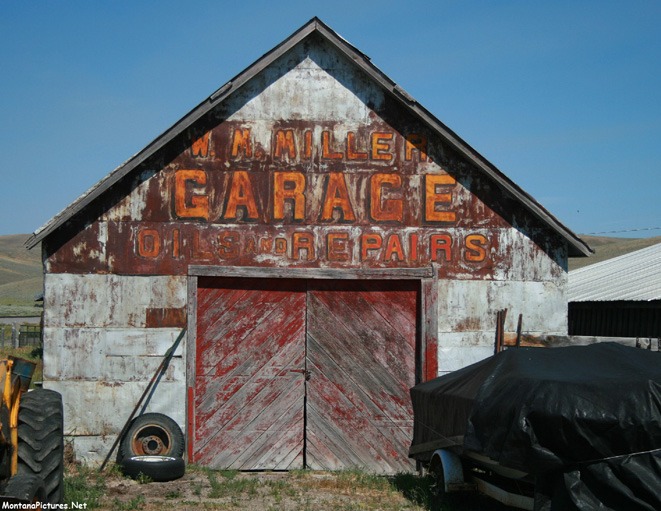
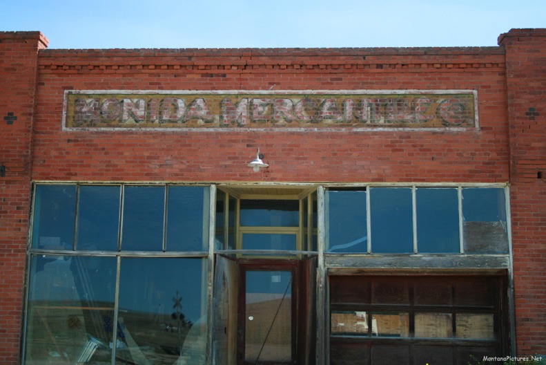
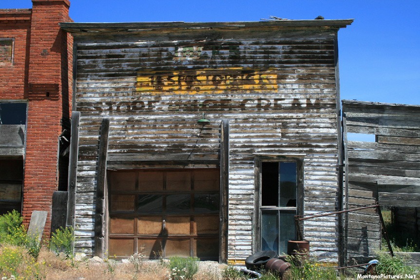
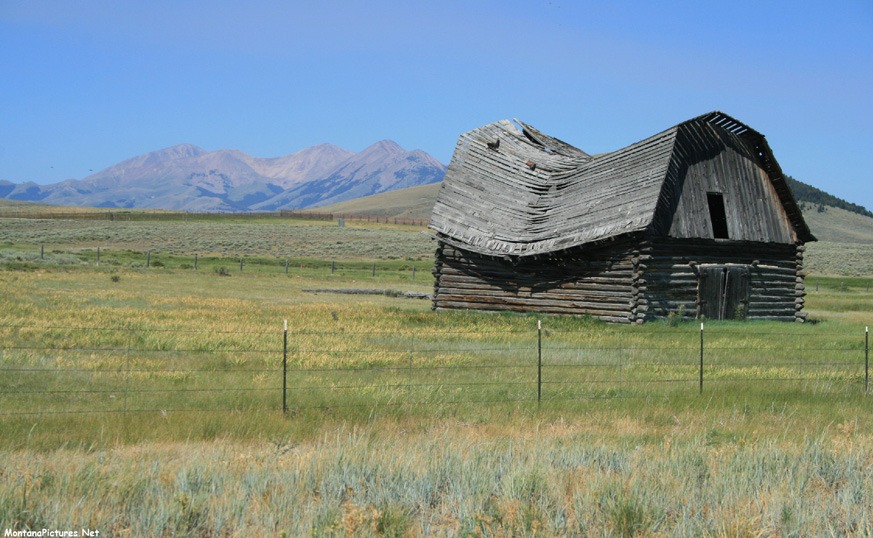
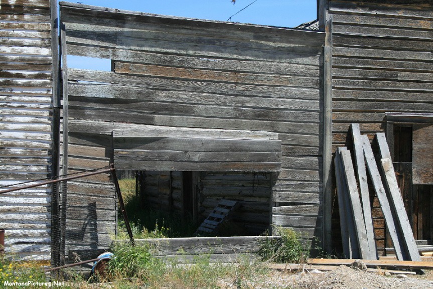
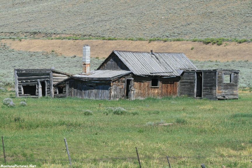
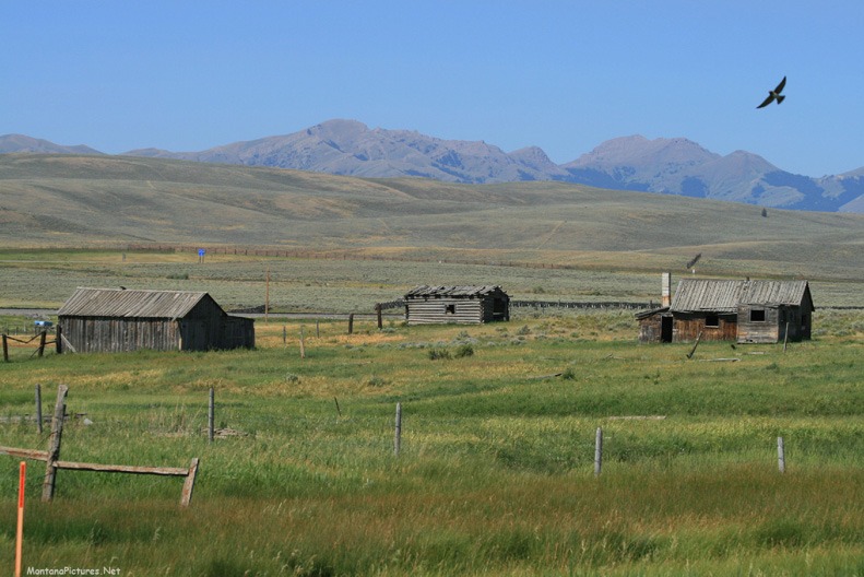
The town of Monida was a large railhead for the shipment of sheep and livestock raised in the vast Centennial Valley. As many as 48,000 head of cattle and 100,000 head of sheep were shipped out annually. The town reached a population of 75-100 people at its prime. A fire in October of 1905 destroyed much of the town. A few buildings still exist in the town, including one of the original Monida-Yellowstone stage barns.

Recent Comments