
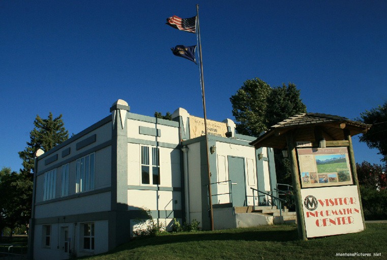
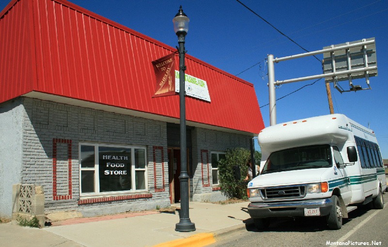
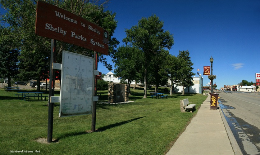
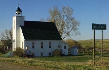
Welcome to the Shelby Montana Picture Tour
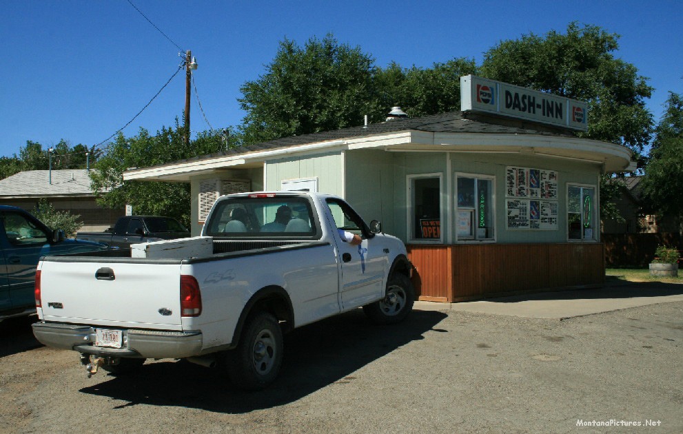
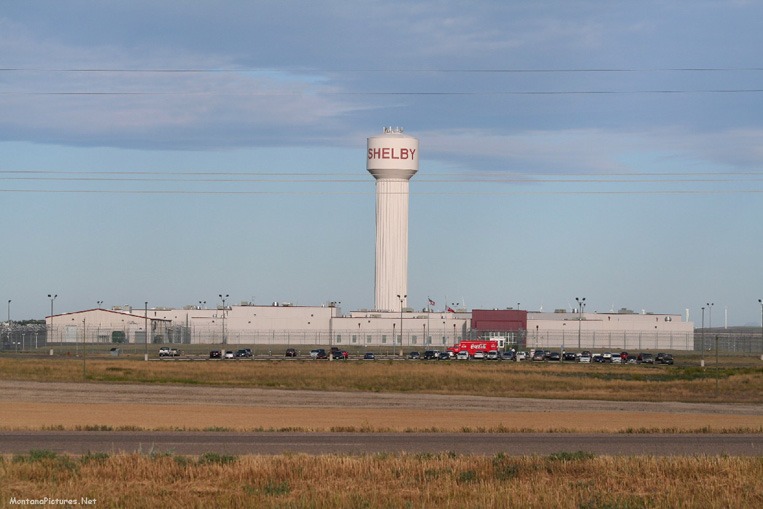
Shelby’s geographical location makes it a natural site for a transportation center. The town has the Burlington Northern/Santa Fe railroad east-west main line that runs west over Marias Pass near Glacier National Park to the I-15 Interstate running north to Alberta, Canada. Shelby is a great stop to get supplies, learn about the Whoop Up Trail or enjoy a great Burger from the Dash-In while you cool off in the shade of one of its many nearby parks like the Carousel Rest Area of Shelby.
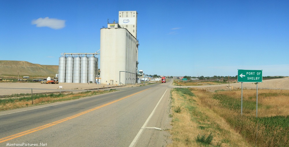
After your break in Shelby, you are faced with some enviable choices to explore some famous Montana landmarks. Ride west to Glacier National Park. Ride north to the iconic Sweet Grass Hills. Turn southwest to explore one hundred miles of the Rocky Mountain Front. Or ride east to the cool waters of the Tiber Dam a.k.a. Lake Elwell.
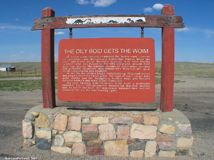
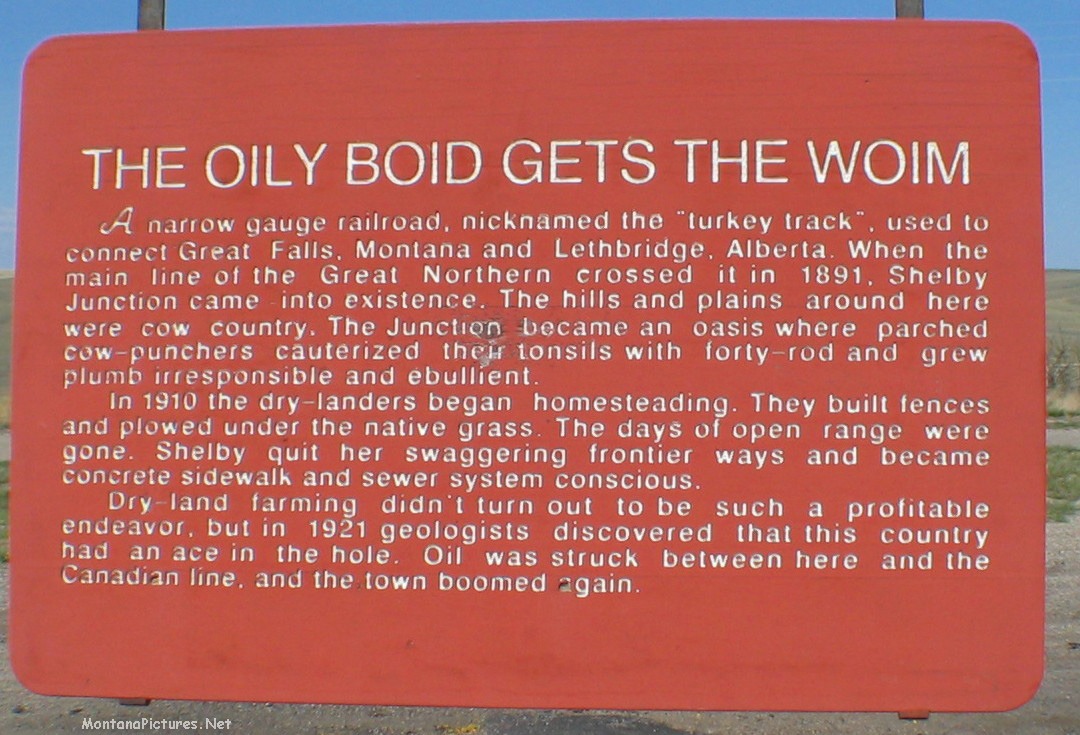
TURKEY TRACK
Long before the I-15 Interstate to Canada was built. The first north-south corridor was a narrow gauge railroad nicknamed the “Turkey Track.” As explained in the Great Falls Picture Tour, the railroad was built in 1887 to feed coal from Lethbridge, Alberta to the energy hungry copper smelters in Great Falls.
HArness The Wind
Shelby has been in the “Energy business” for since 1921. That’s when oil was discovered just north of town. Now a days if you look at the wheat fields thirteen miles west of Shelby you will see 140 “Wind Turbine” towers. Built in two phases of construction, the first phase of the new wind farm will go to San Diego, CA. (71 Turbines generating 106.5 megawatts of electricity.) The energy of the second phase of the new wind farm will go to Calgary, Alberta. (69 Turbines generating 103.5 megawatts of electricity.)
The futuristic looking four-hundred-foot-tall towers have sprouted up in other locations around Montana. You can see this same view outside Judith Gap, Montana, the home of a new 135 megawatt wind farm.

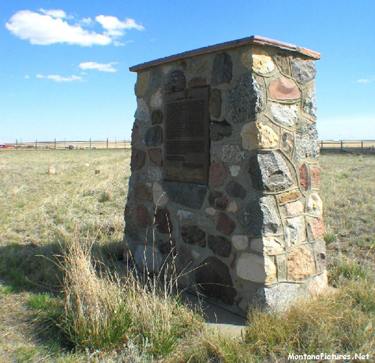
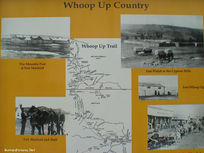
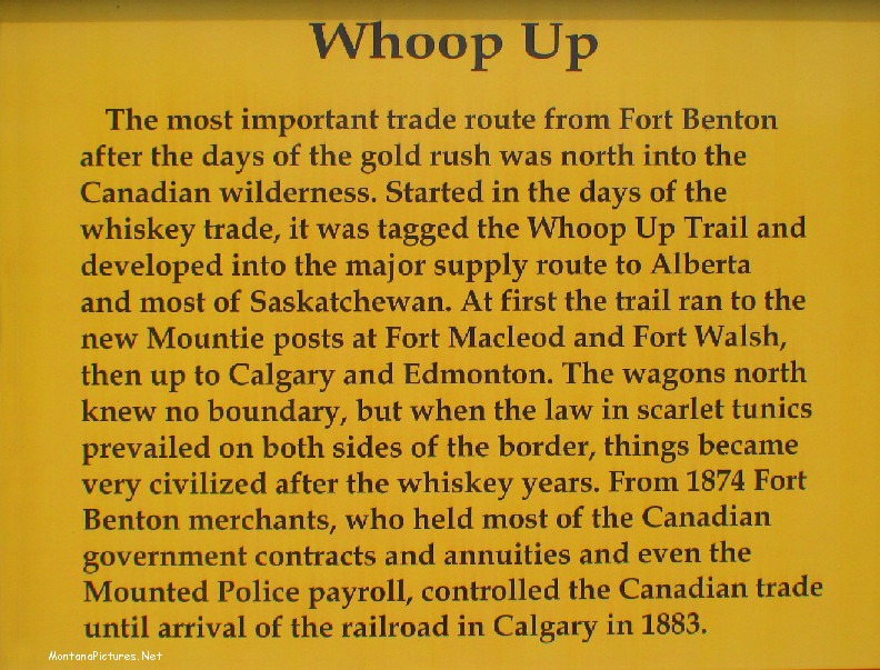
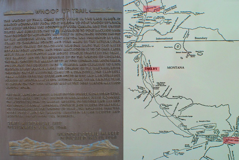
Whoop UP Trail
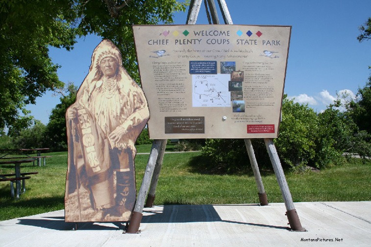
East of Shelby you can still see wagon ruts on a section of the 240-mile-long Fort Benton to Fort McCloud trail. The trail is better known as the “Whoop-Up Trail of 1869-1883.” To find wagon ruts on easily accessible land is almost impossible to do. You have to travel to Chief Plenty Coups State Park near Pryor, Montana to see remnants of the “Bozeman Trail.” Travel farther south of Alzada, Montana to see wagon ruts from “The Black Hills Expedition of 1874,” led by General George Custer. Fortunately, a Shelby area family donated land in 1966 that allows future generations to see the past first hand.
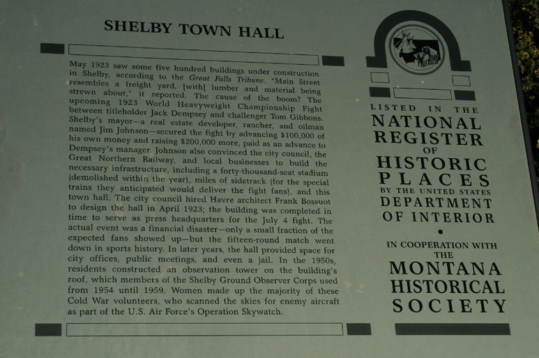
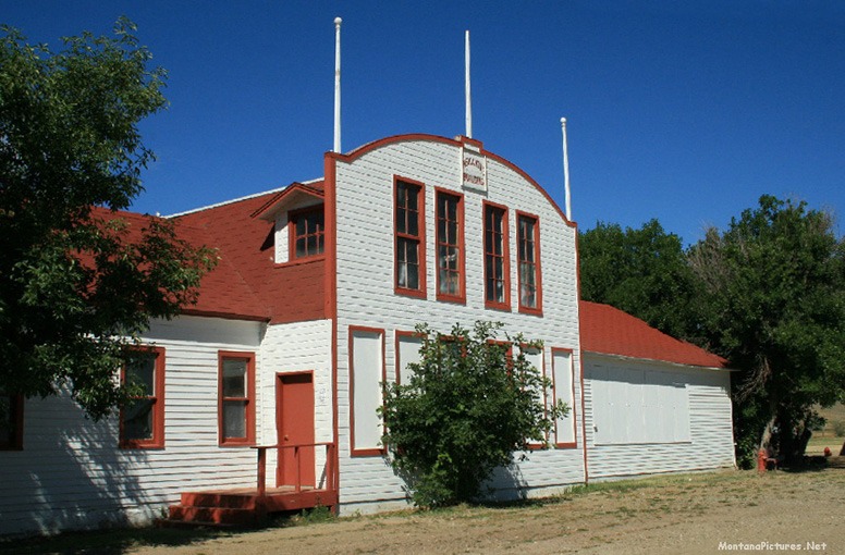
Soon, you will be able to visit another historical site Shelby is famous for. “The Dempsey-Gibbons World Heavyweight Championship Fight” was held in Shelby on July 4, 1923. Shelby is currently working on the completion of “Champions Park” commemorating the historic event.


0 Comments