
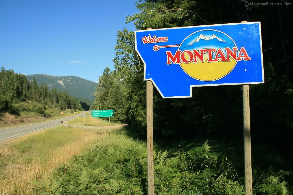
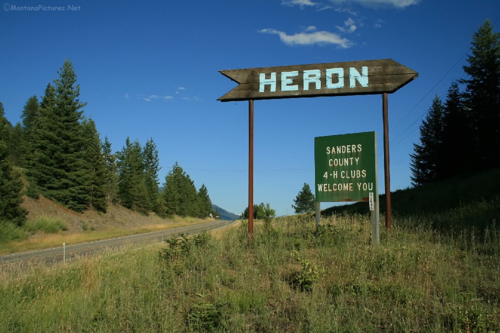
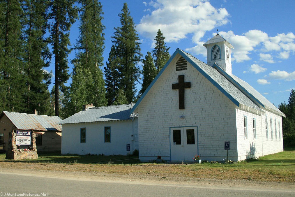
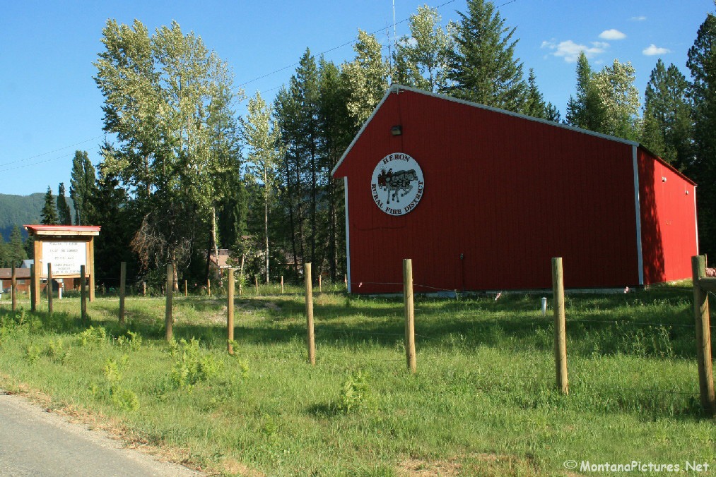
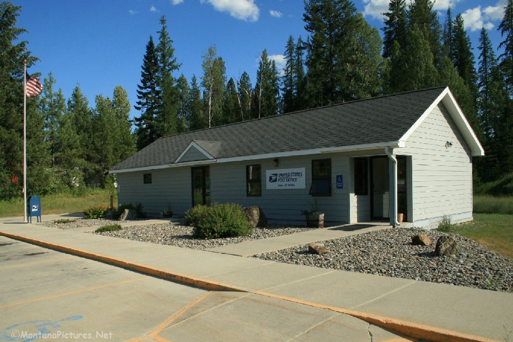
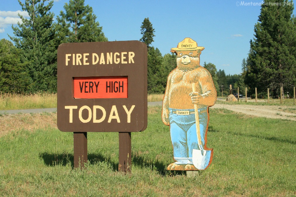
Welcome to the Heron, Montana Picture Tour
Heron, Montana is a survivor of four or more economic “Booms and Busts.”
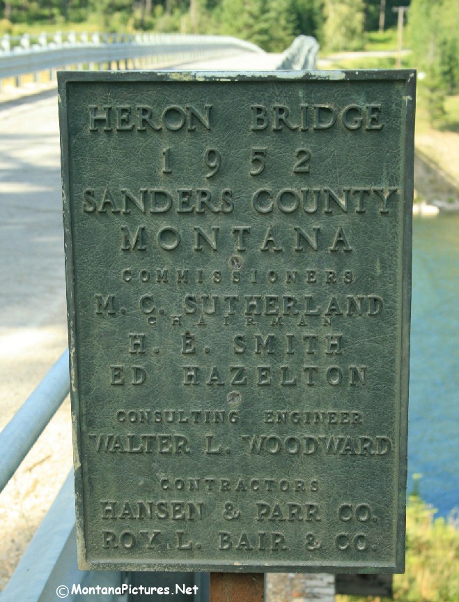
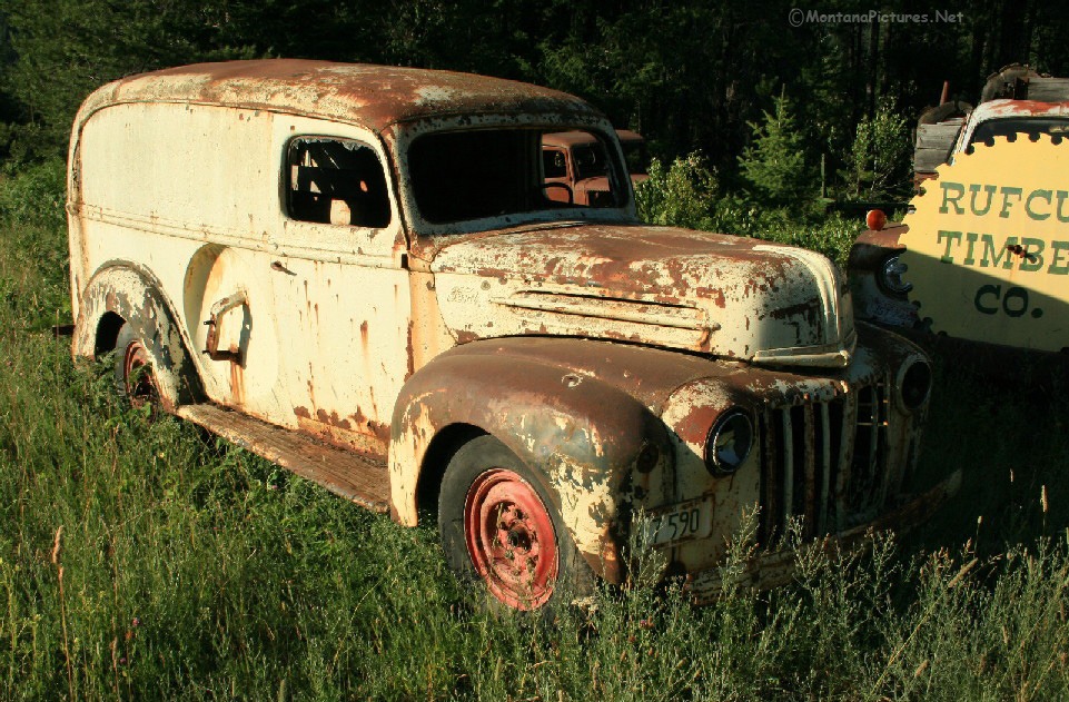
Originally a railroad town on the Northern Pacific line, the first “bust” occurred in 1888, when the water source for the steam locomotives dried up, the railroad terminal and most of the population moved away. The Timber industry moved in the Heron area but was forced to move out after the gigantic fires of 1910. By the 1930’s, the newly open grasslands created by the fires made the Heron area attractive to dairymen and farmers relocating from the drought plagued Midwest. During World War II and up to 1959, hydro electric projects brought in construction workers to the Clark Fork River Valley. By the 1980’s the population changed again, when residents left the Heron area in search of jobs and opportunity.
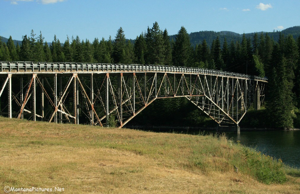
In the past decades, a new “Boom” is underway. Recreation property is now the big draw. Newcomers are rediscovering the beautiful scenery, mountains and lakes found around the Heron, Montana area.
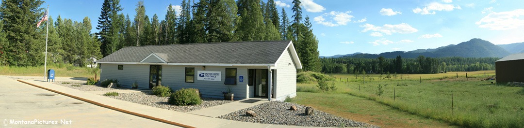
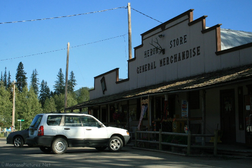
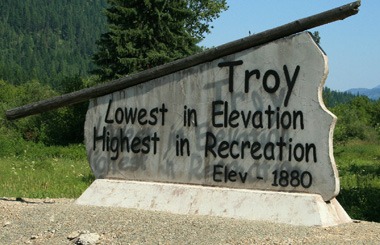
The population around Heron, Montana is only a 140 people and yet, during the year, the Heron Players, a local drama group, perform dinner theaters twice each year. In August, Shakespeare is performed on the local baseball field. If you need gas you need to continue east to another 16 miles to Troy, Montana. If the sun is going down, don’t worry, it will be a beautiful drive along the Clark Fork River.
Can't find your favorite Heron, Montana location?
Recent Comments