
Welcome to the Great Falls on the Missouri River EXTENDED Tour
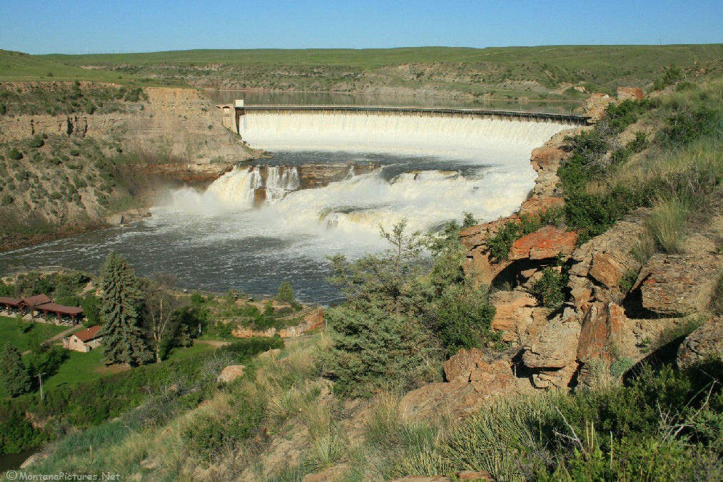
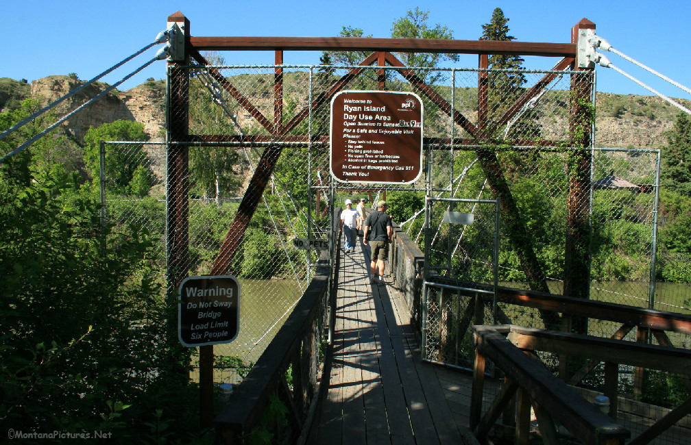
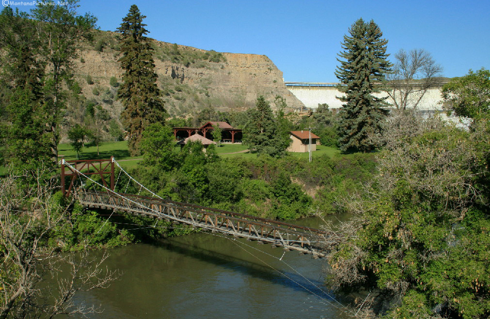
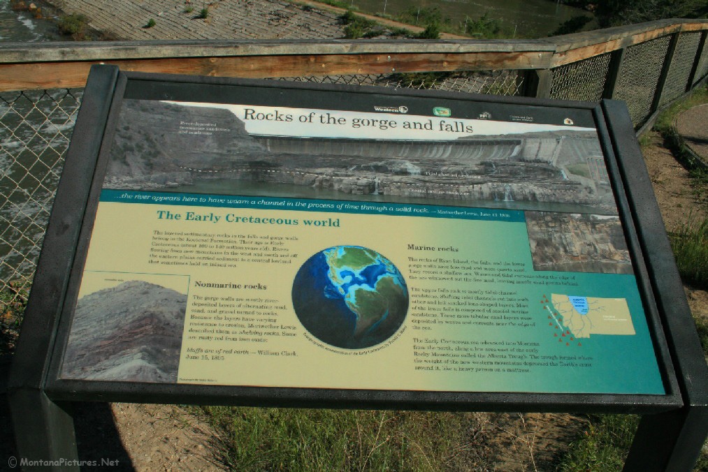
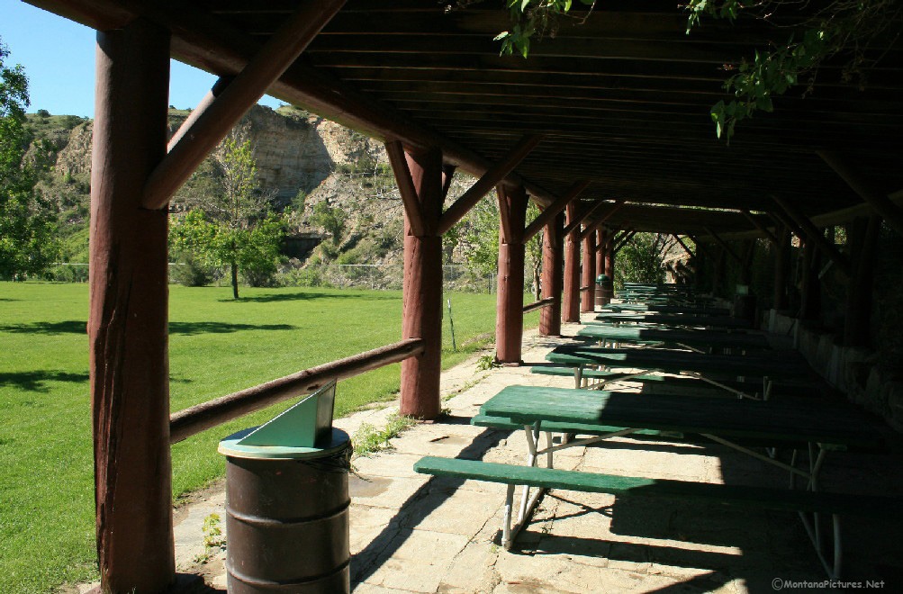
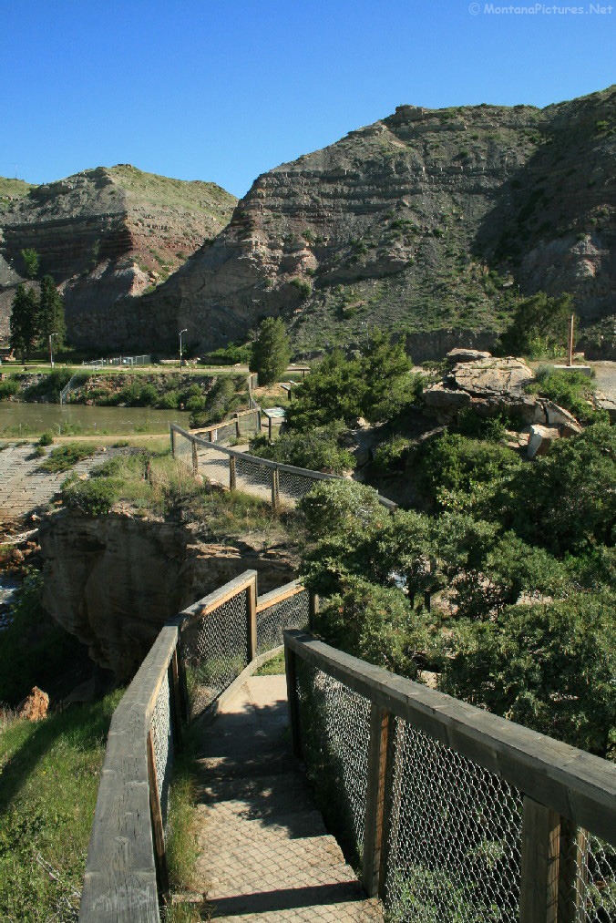
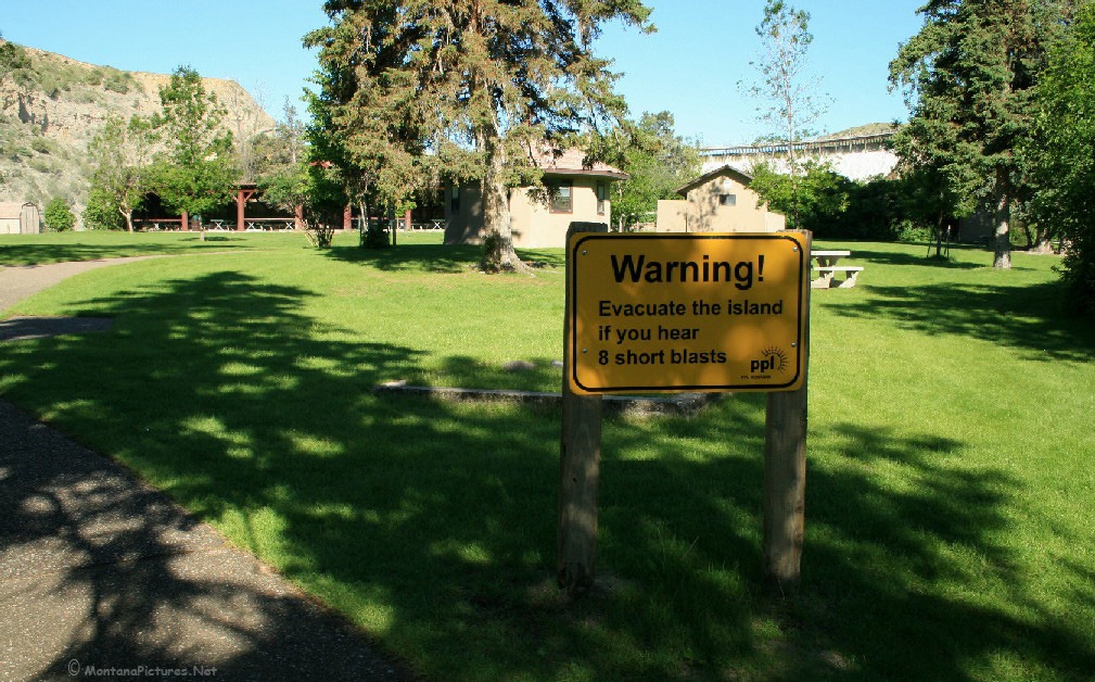
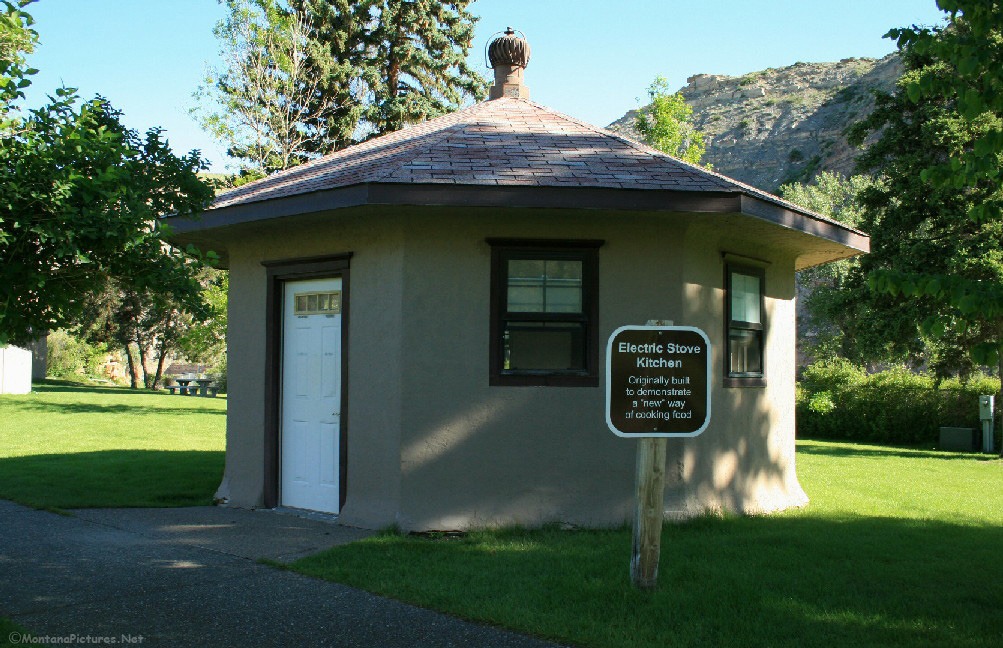
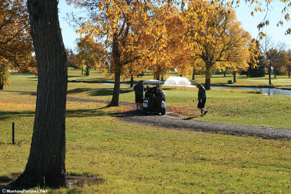
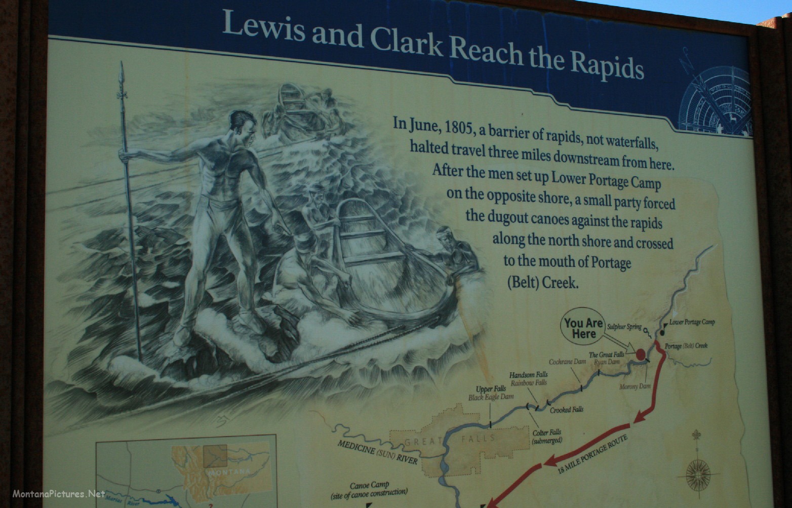
Try to visit the “Great Falls of the Missouri” during the “Spring Run-Off.” The volume of water crashing down in to the Missouri River is humbling. Just downstream of the Great Falls is an island full of wonderful recreation facilities and valuable information about the “Great Falls of the Missouri.”
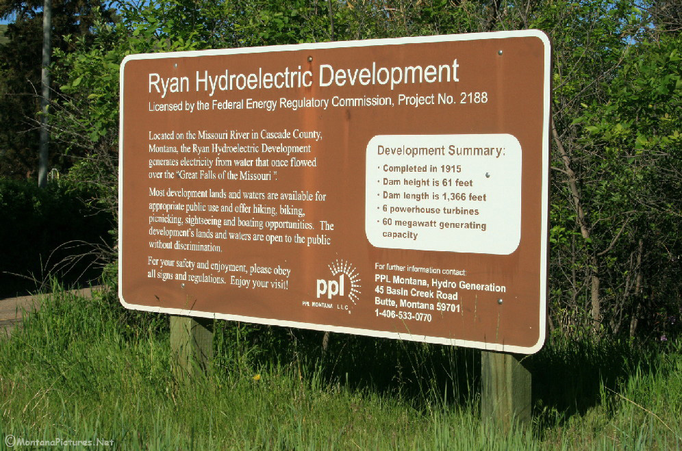

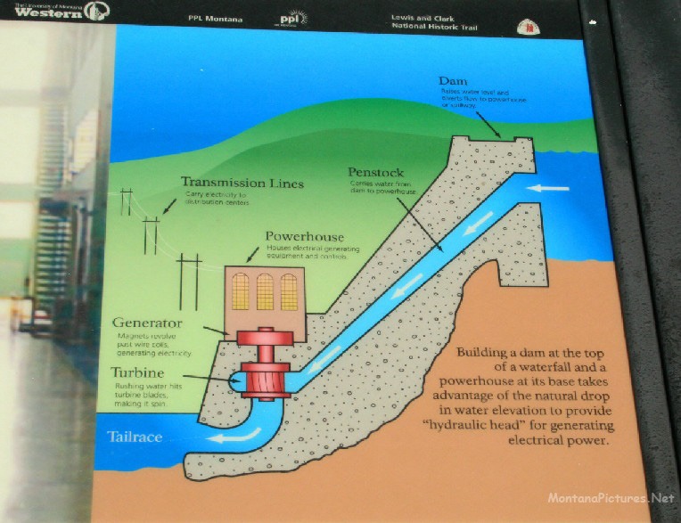
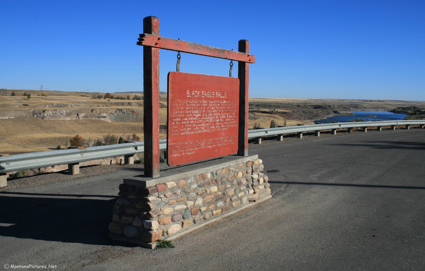
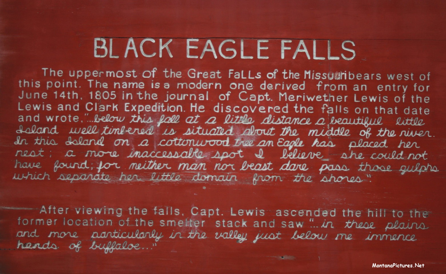
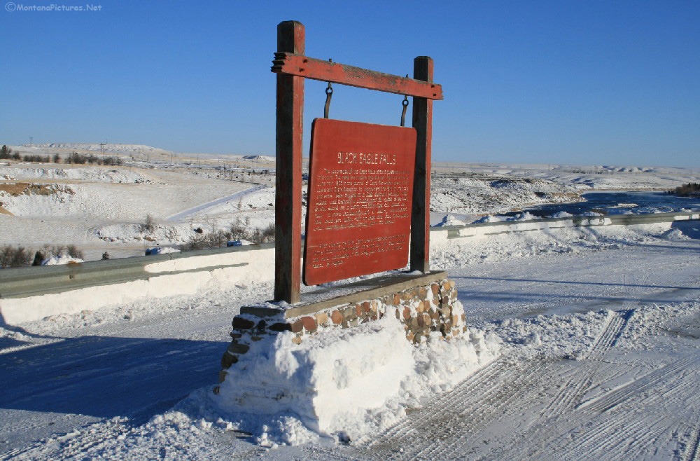
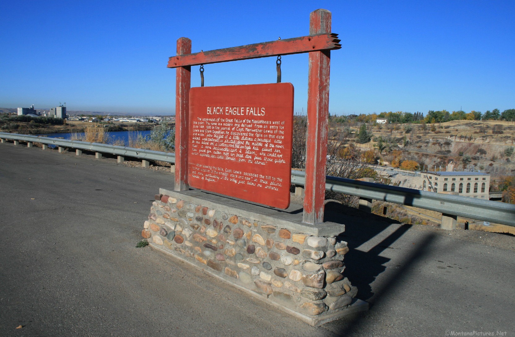
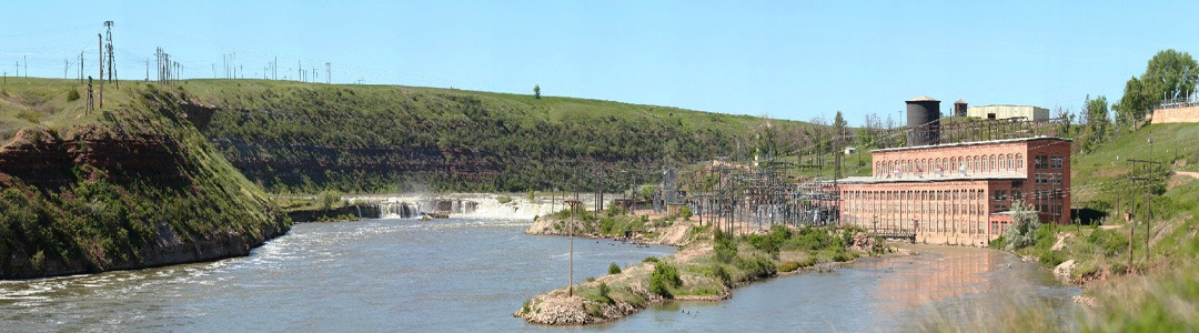
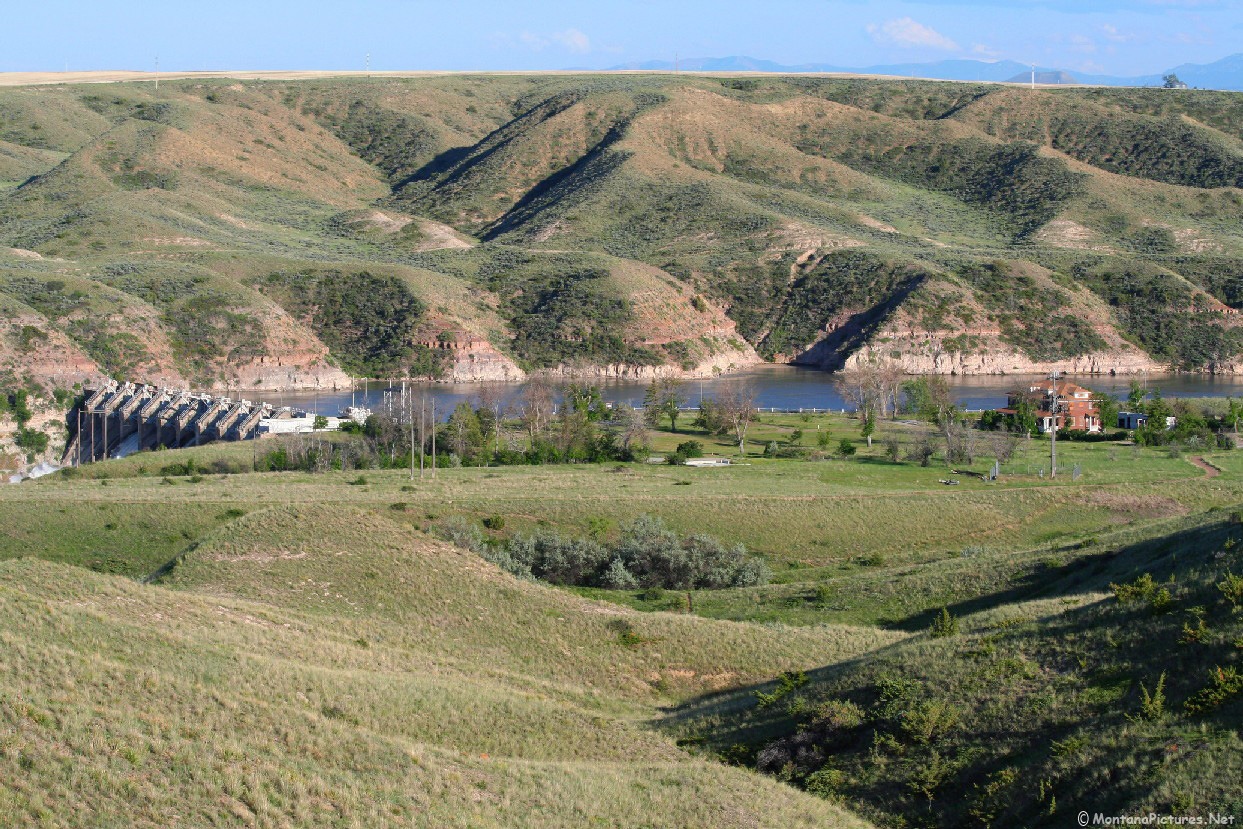
The “Black Eagle Dam” – Built in 1890. Across the Missouri river nothing remains of the 506-foot-high “Big Stack” that dominated the Great Falls skyline and economy for more than 80 years (1893-1980). The popular central Montana landmark was removed in 1982. All the numerous industrial buildings that dotted the hillside above “Black Eagle Dam” were gone by 1997.
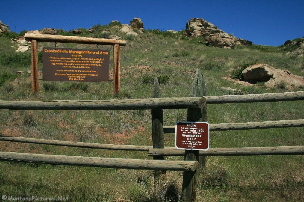
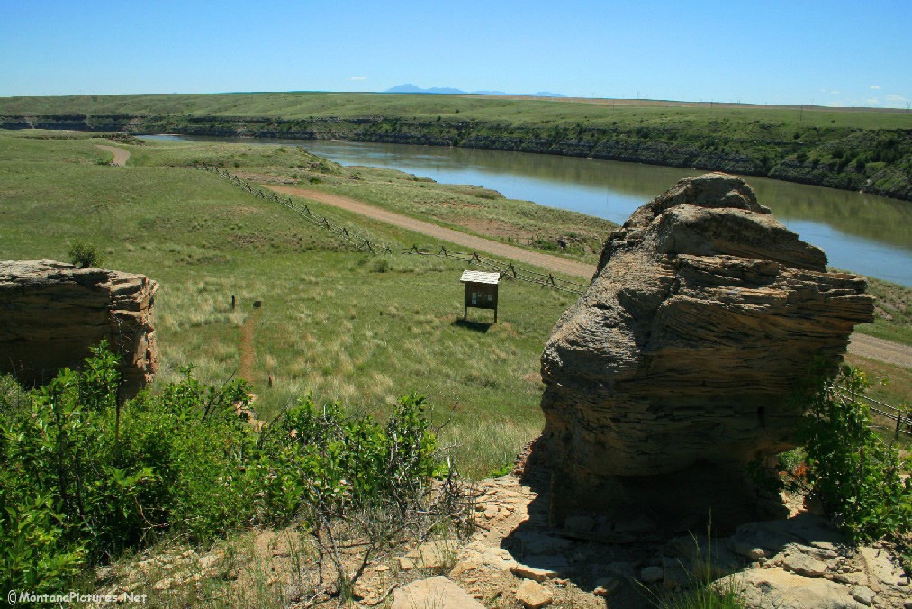
Below “Rainbow Falls” you can find a rare Missouri River sight, “Crooked Falls.” “Crooked Falls” is the only visible falls in the Missouri/Mississippi River system that does not have a dam sitting on top of it. The best way to see “Crooked Falls” is from high above. Click here to visit the “Lewis-Clark.org” website for a view.
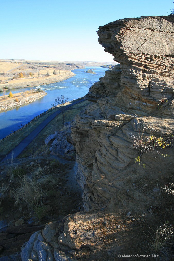
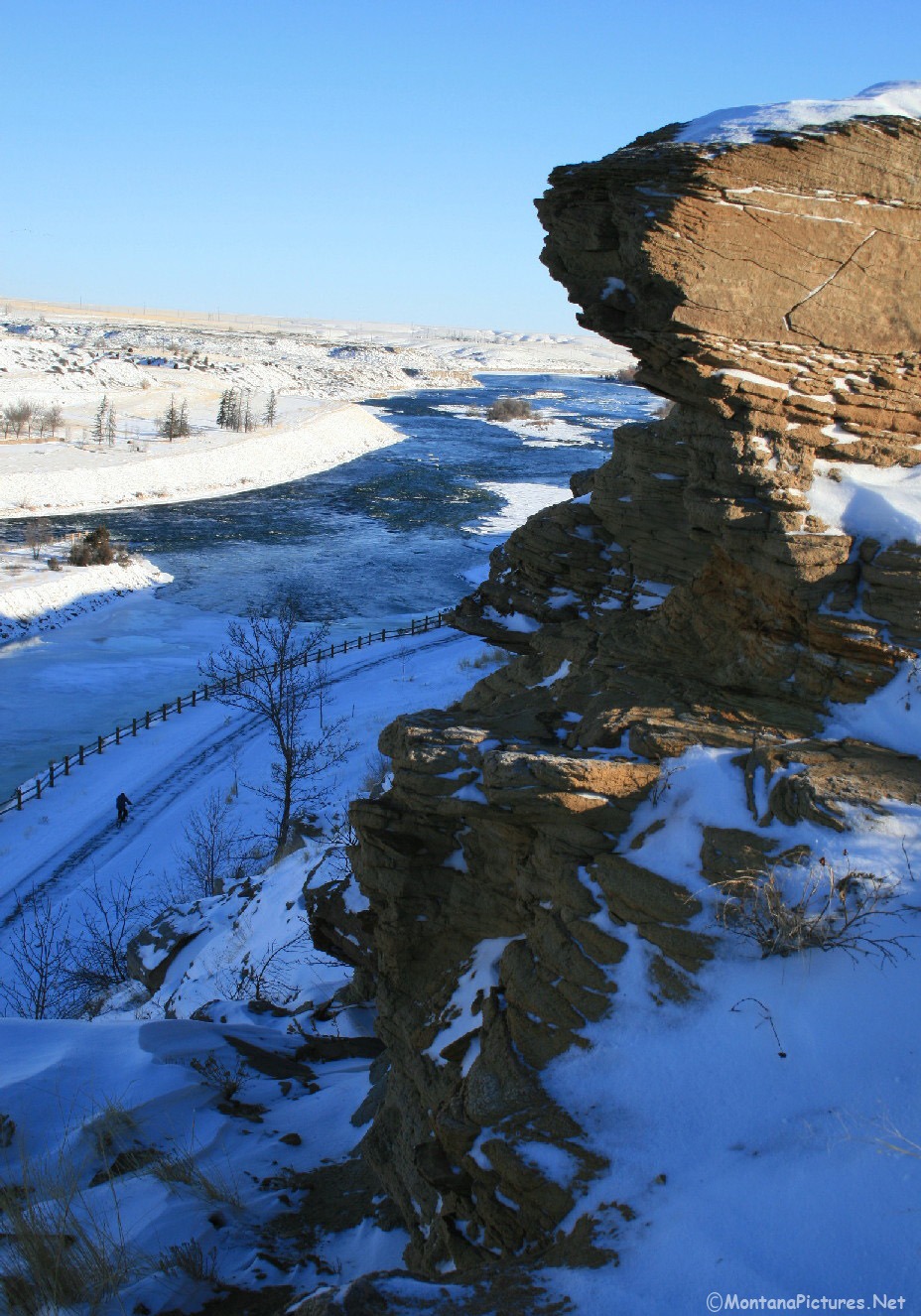
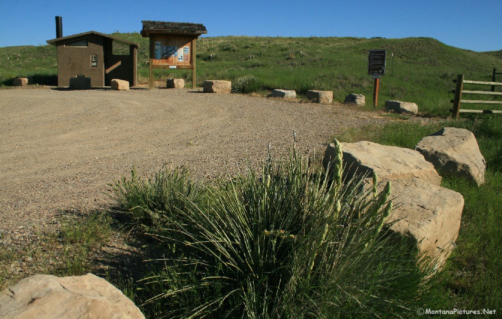
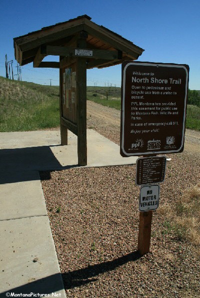
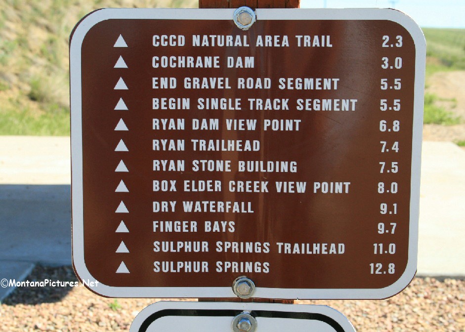
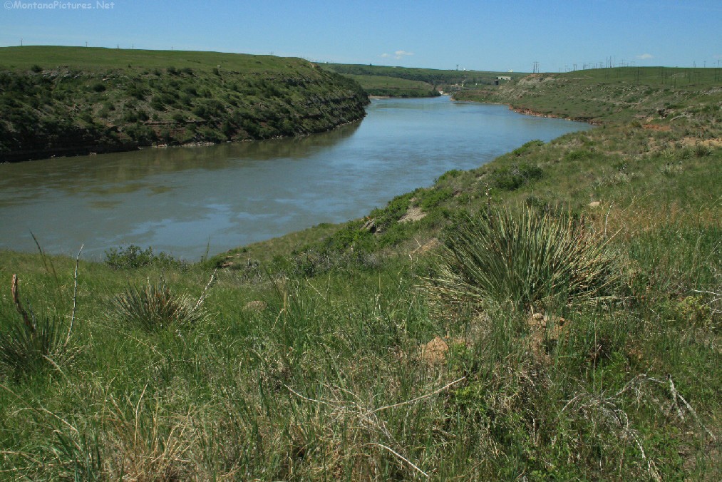
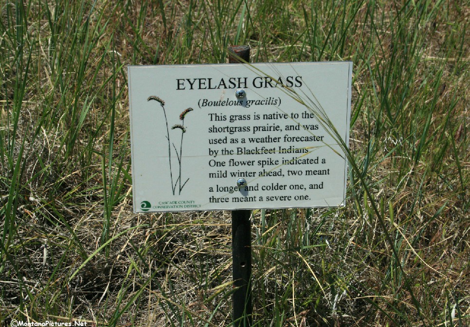
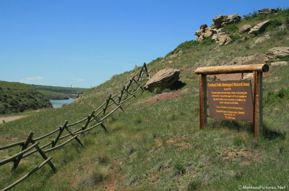
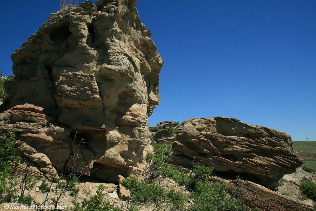
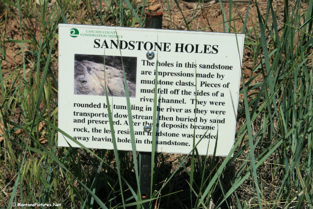
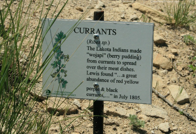
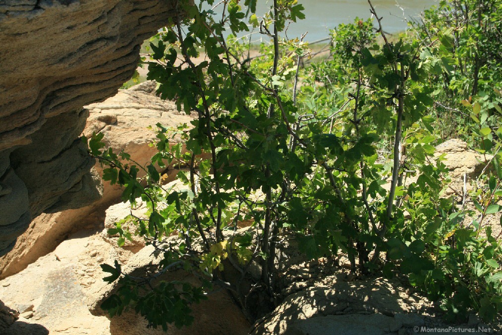
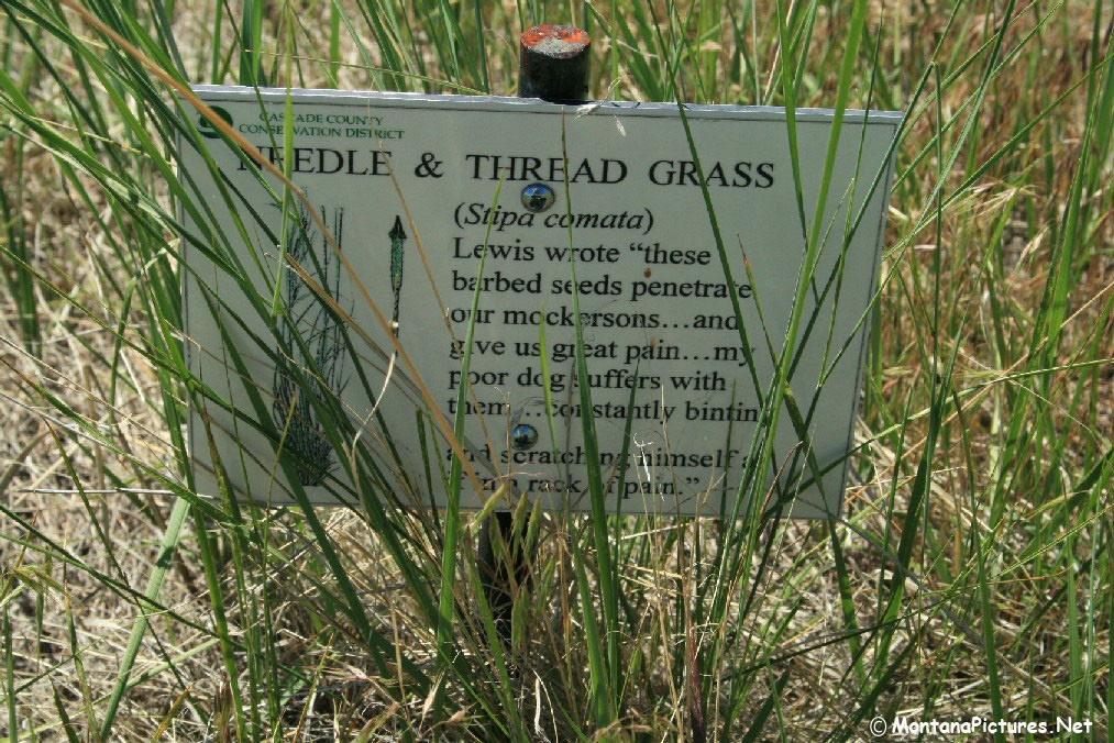
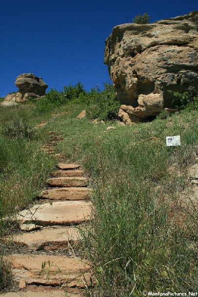
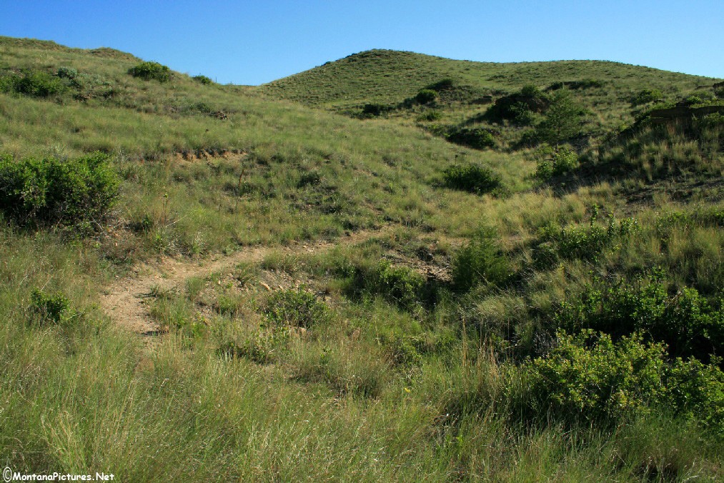
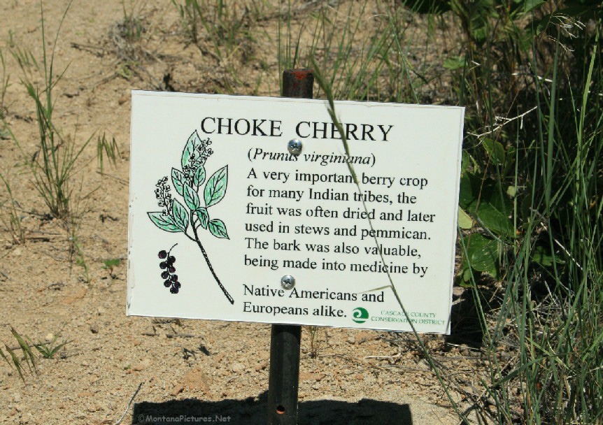
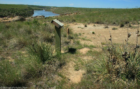
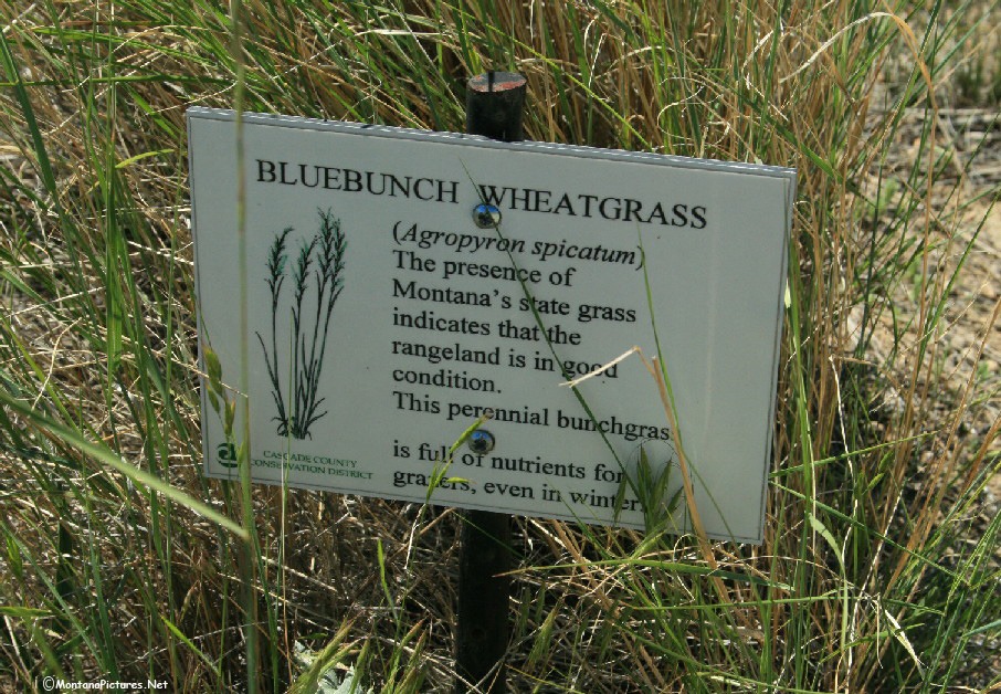
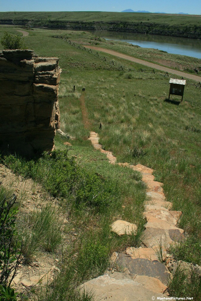
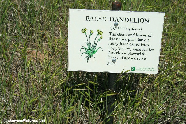
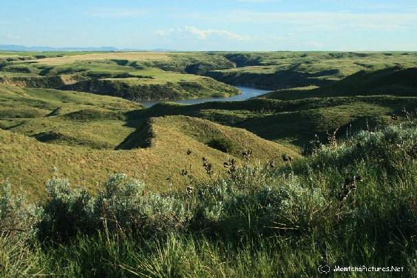
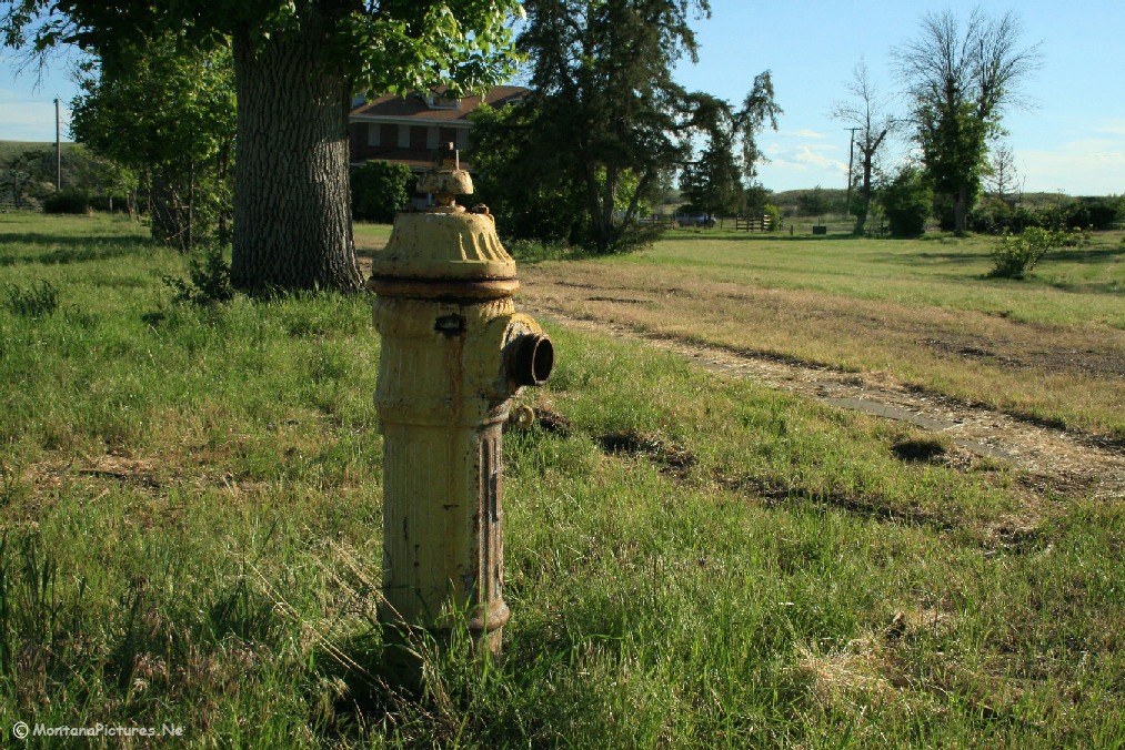
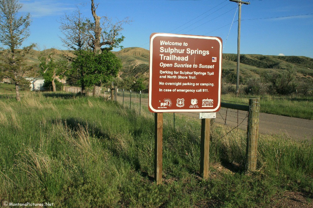
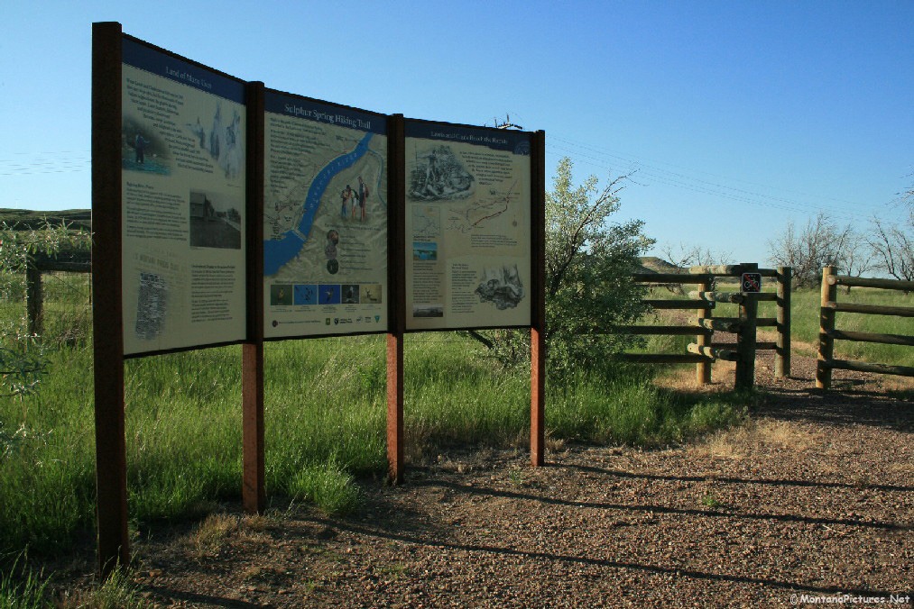
The open landscape reminds us that Great Falls, Montana is part of the western “High Plains.” (Elevation: 1,120 meters) If you are pressed for time, you can get a “feel” of what the “High Plains” is like, by hiking the incredible trail located three miles upstream from the Cochrane Dam. The North Shore Trail has interpretive signs to help you identify prairie landscape and vegetation. We included a gallery of some of the landmarks and plants you will see on the trail.
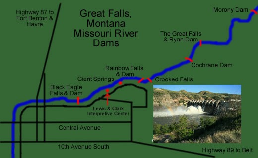

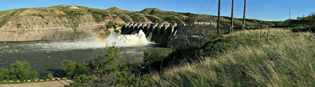
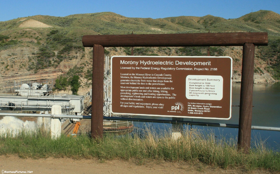
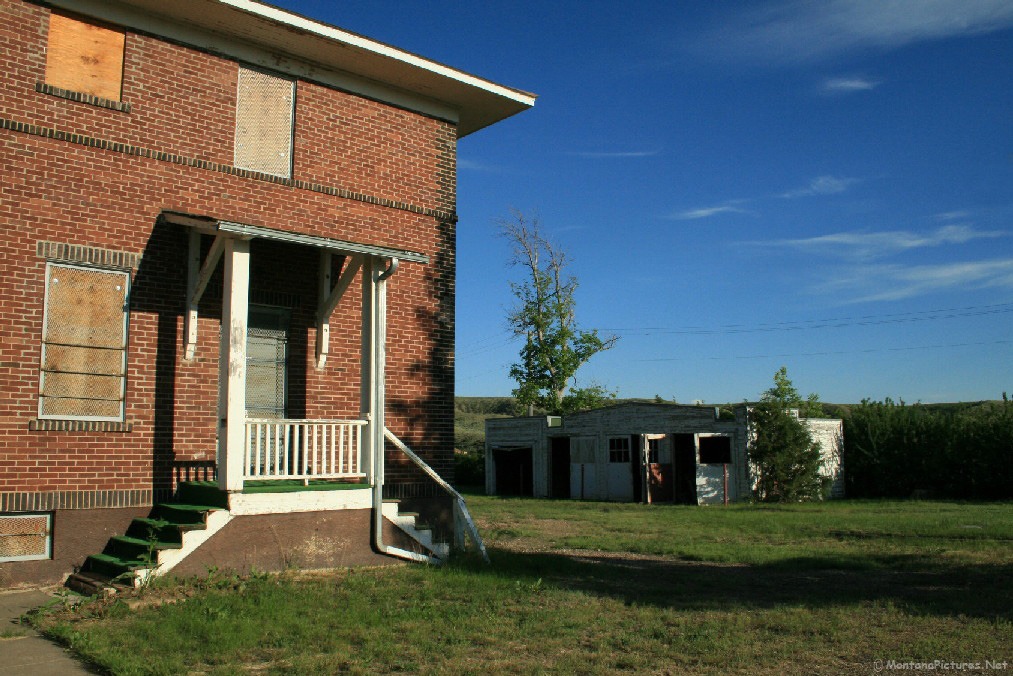
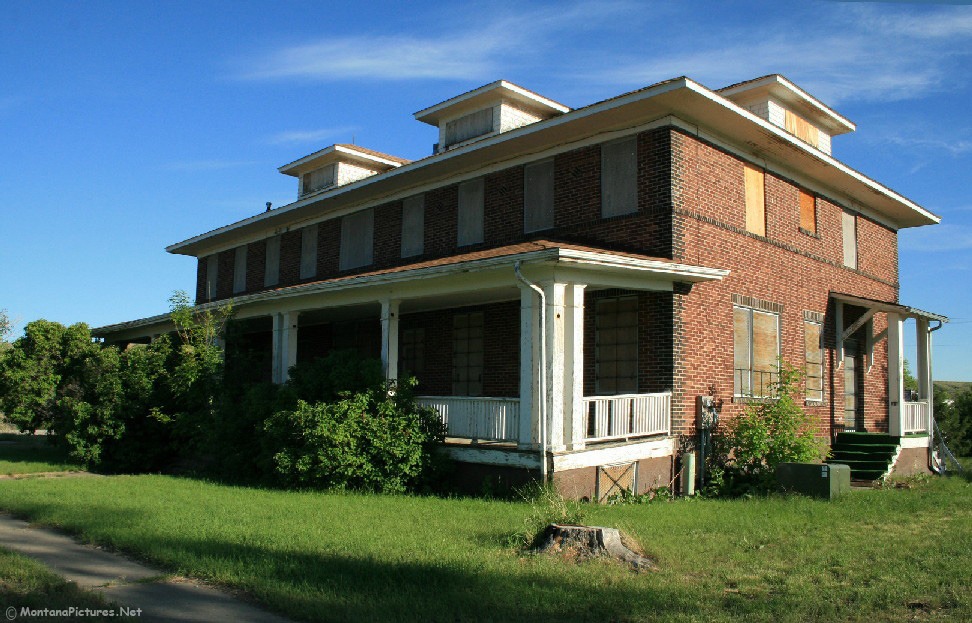
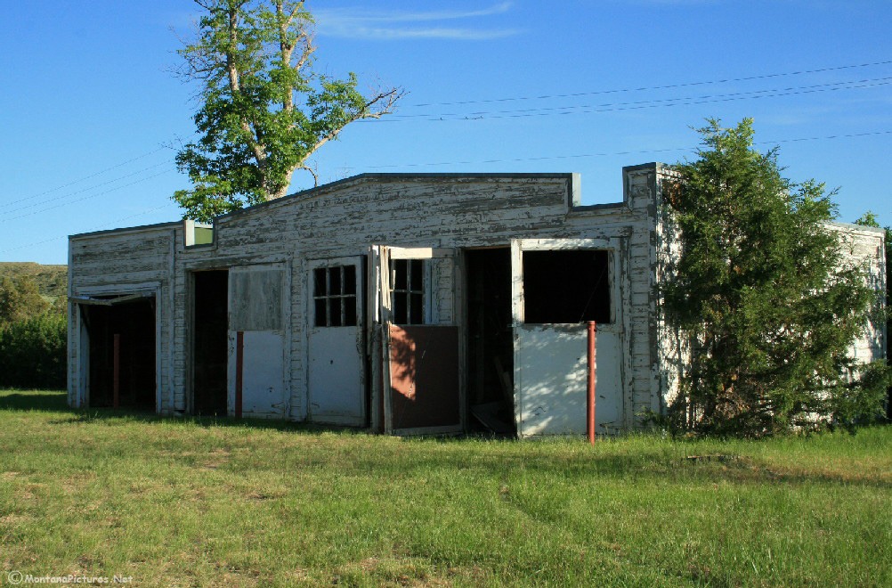
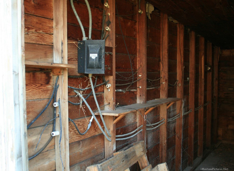
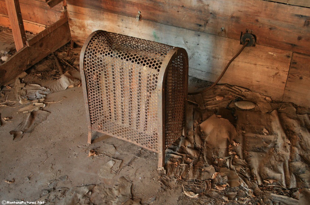
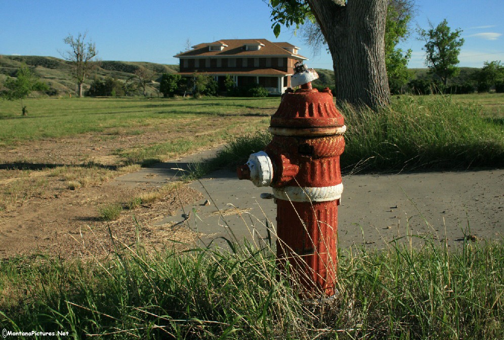
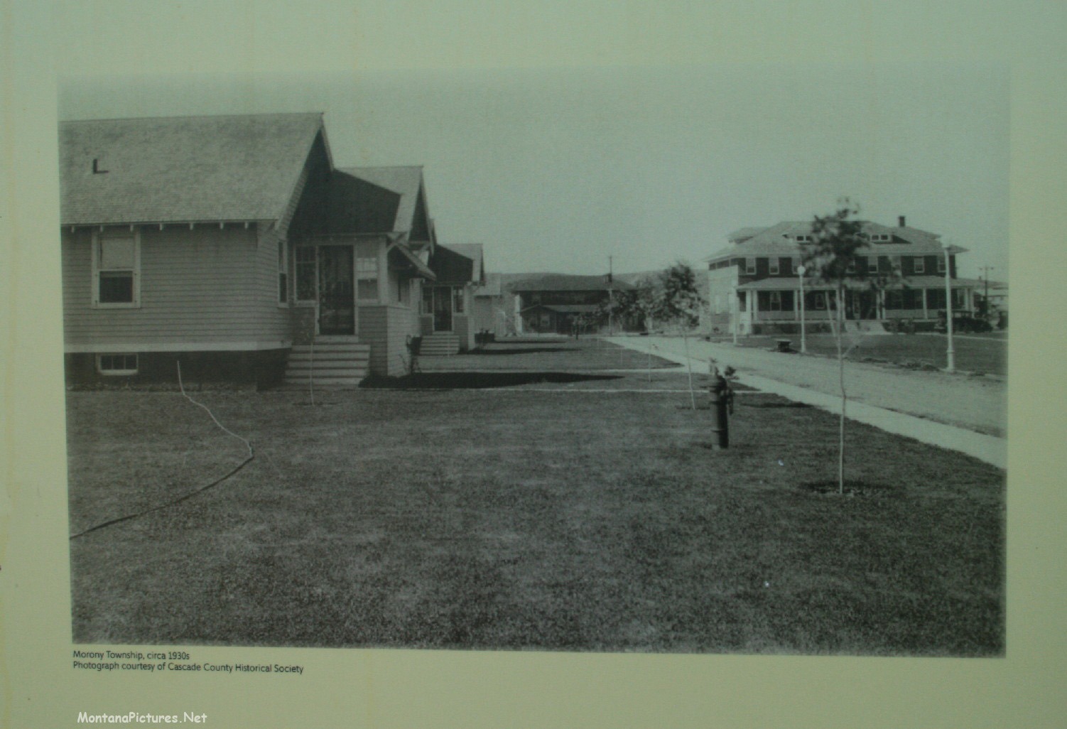
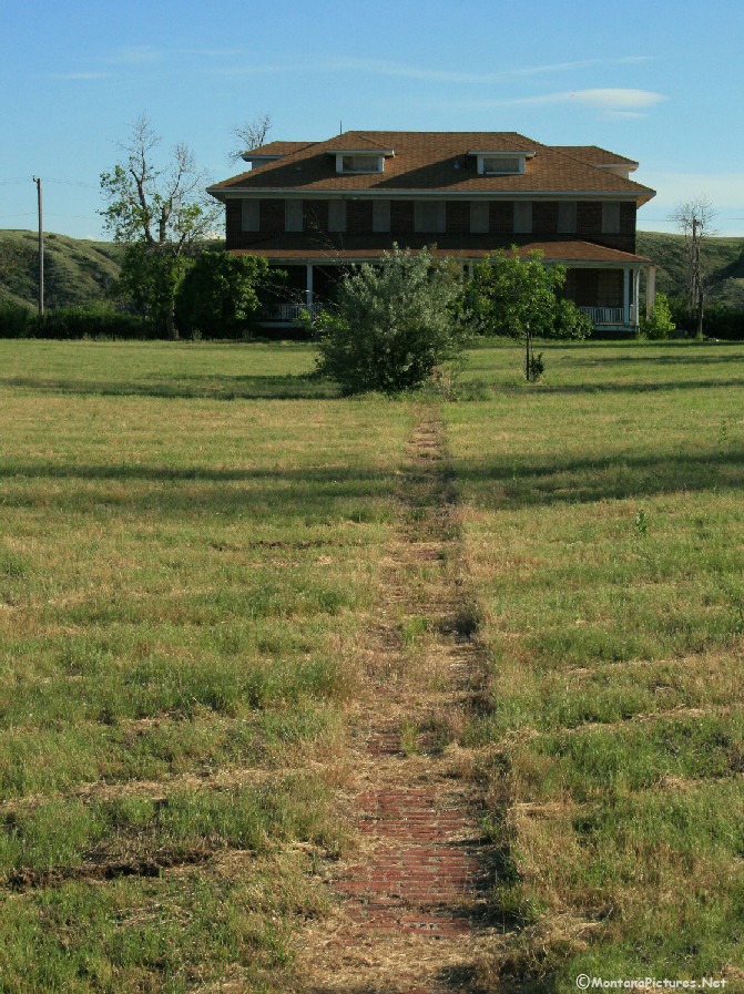
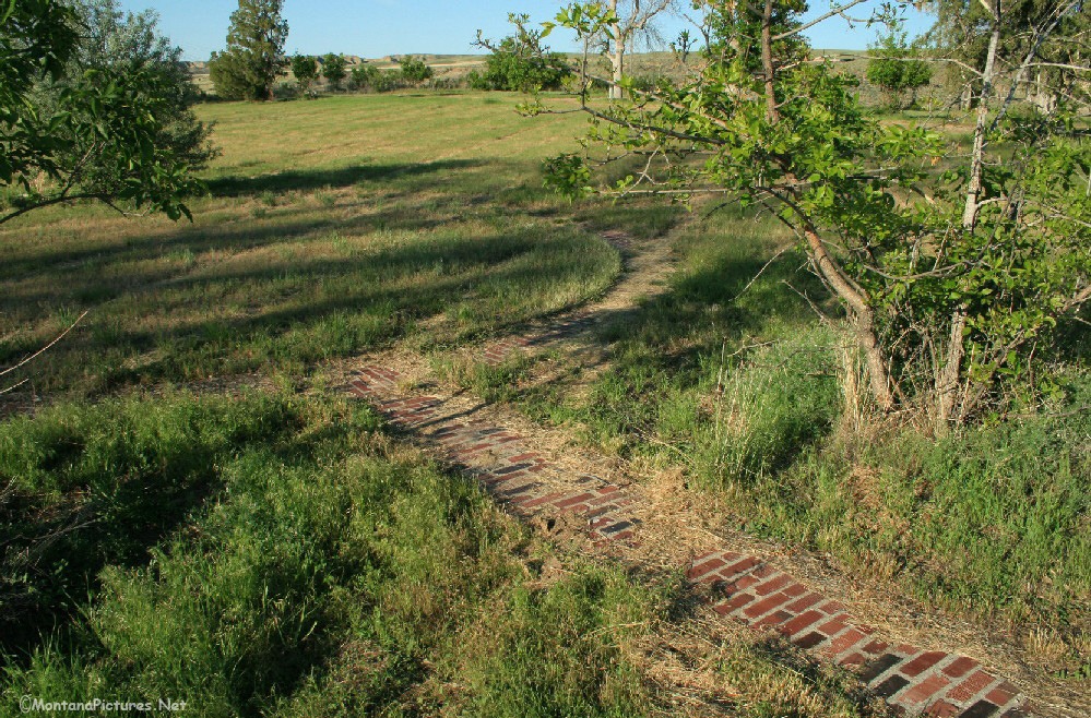
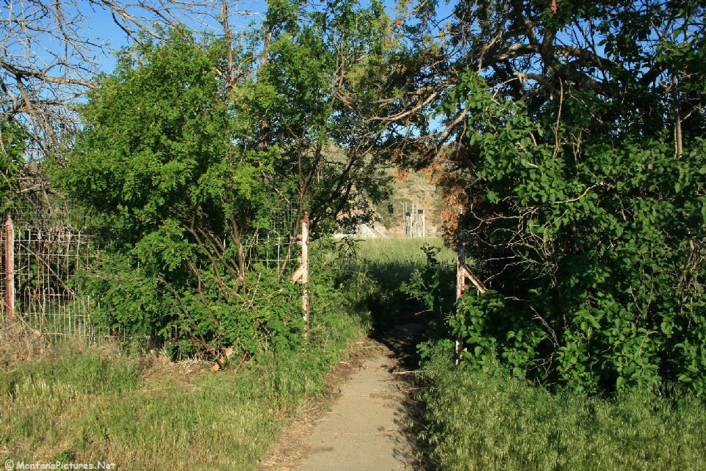
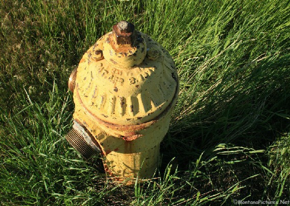
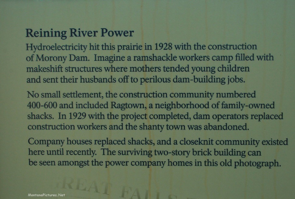
“Ragtown,” a community of 400 to 600 construction workers emerged during the construction of the Morony Dam in 1928. One the dam was completed the stately Marony Township replaced the tar paper shacks of “Ragtown” in 1929. In the gallery below you can see what the abandoned Marony Township looks like today.
Recent Comments