
Welcome to the Dillon, Montana Picture Tour
Yee haw! We’re in Dillon country! They have the best trout fishing and some incredible scenery that hasn’t changed much since Lewis and Clark hiked near here in the summer of 1805. This is the morning view of the Big Hole River near Glen, Montana. To the north sits the town of Melrose. We’re headed south towards the town of Dillon.
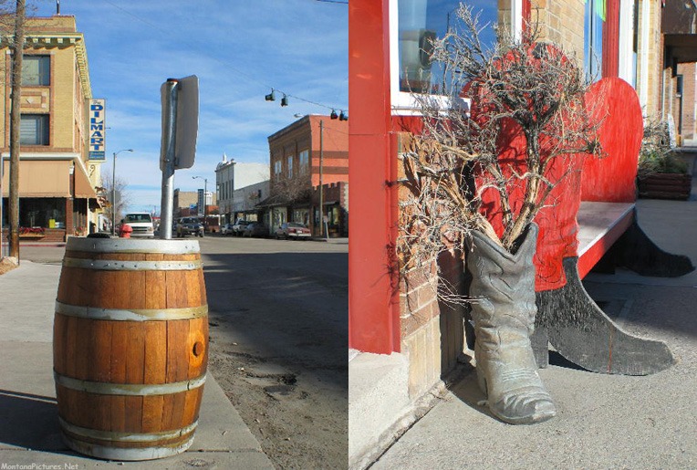
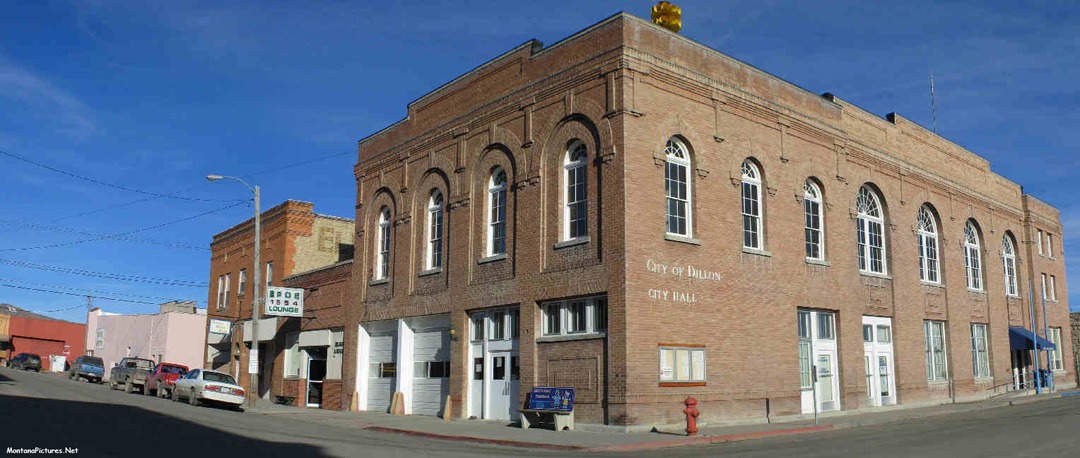
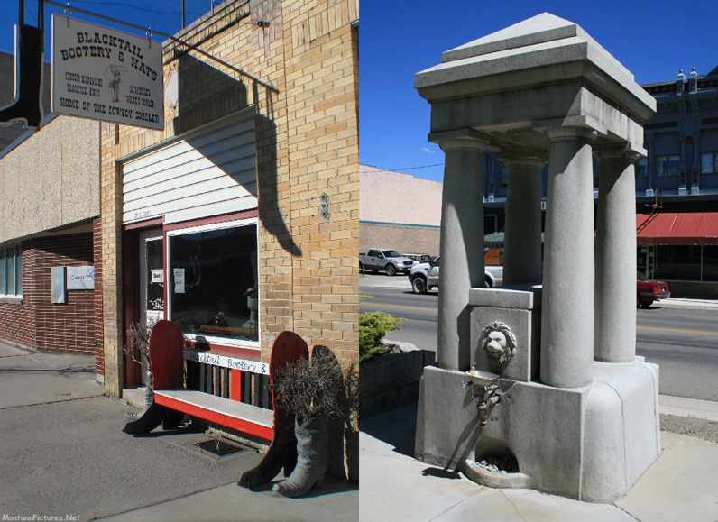
Pick up Supplies
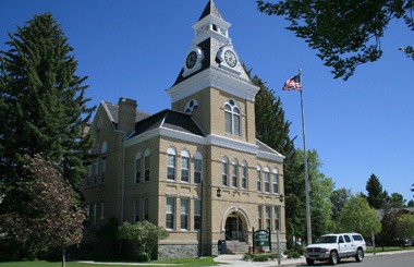
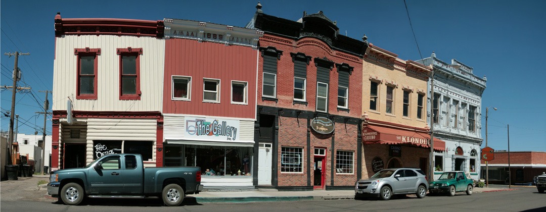
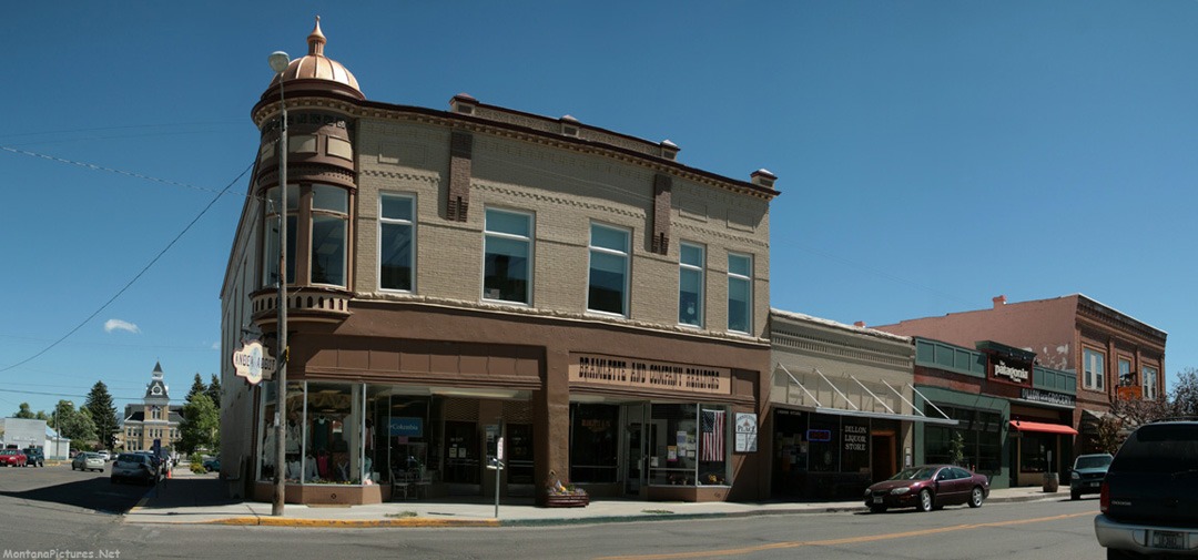
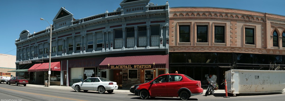
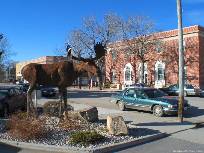
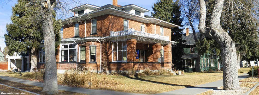
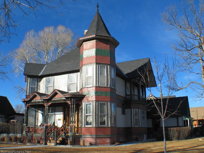
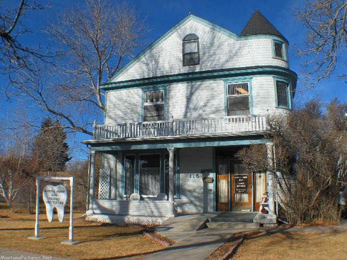
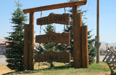
With a population of about 4,000. Dillon is an agricultural community and the regional trade center for southwestern Montana. You name the destination, Maverick Mountain Ski Hill, Bannack State Park, Barrett’s Rock, the Beaverhead River or the Montana state line near Monida, make sure you have everything you need before you leave Dillon.
Fashion Tip
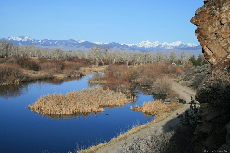
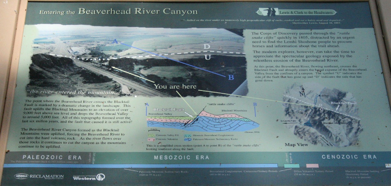
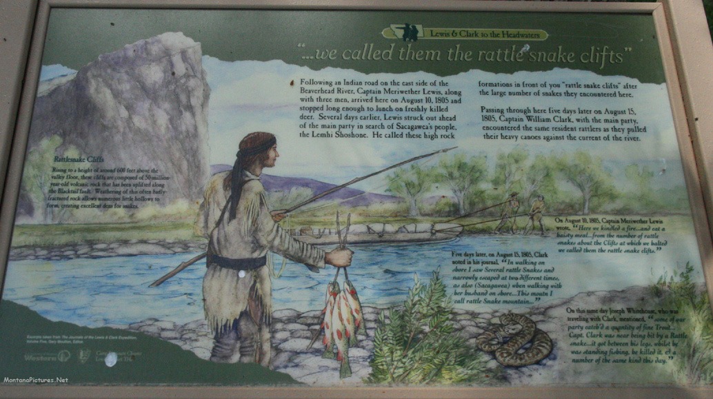
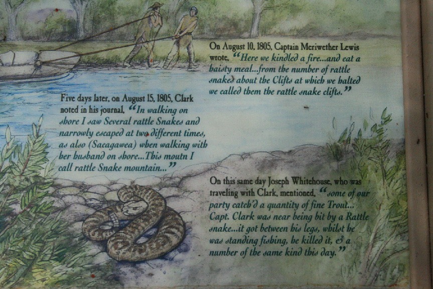
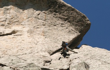
If you are heading south to Barrett’s Rock to climb, picnic or fish, wear long baggy pants. Even if the thermometer says 90 degrees, make sure you have something covering your legs. As early as August 10, 1805 members of the Lewis & Clark Expedition called the area “Rattlesnake Cliffs” (picture below). Every time we fished the banks of the Beaverhead River near Barrett’s Rock we ran into snakes. By wearing fishing waders or baggy pants the snake is more likely to get a mouthful of material instead of your leg.
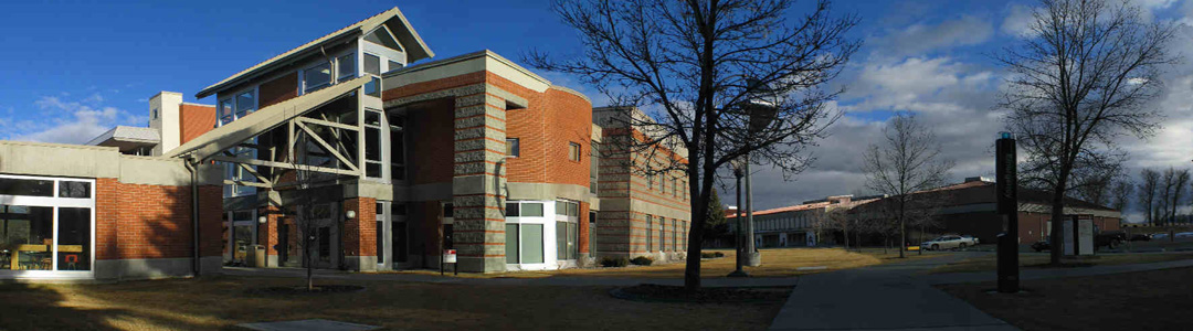
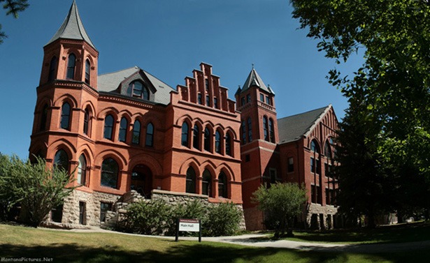
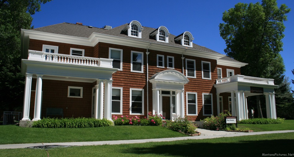
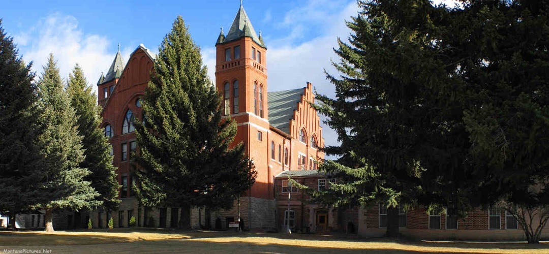
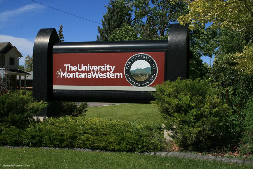
University of Montana Western
Two recent U.S. News & World Report rankings placed Montana Western among the best in the nation and second among “colleges that offer small classes on a budget.” Click here for a map of the campus.
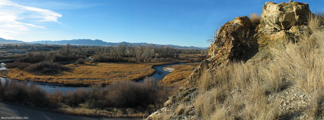
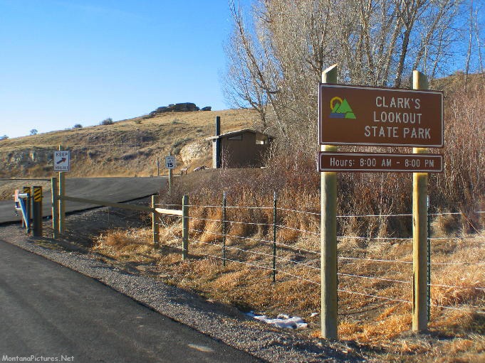
Clark’s Lookout State Park
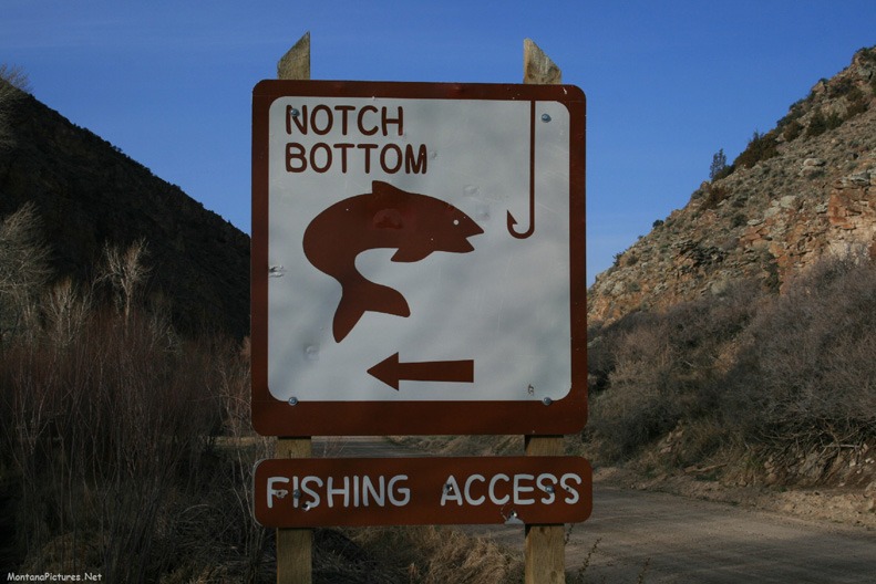
Ride one mile north of Dillon off Highway 91 and you too can walk up to the top of a rocky limestone outcropping to overlook the Beaverhead River exactly like Captain William Clark did on August 13, 1805. During the push west by the Lewis and Clark expedition members of the group would climb prominent points to get a sense of their surroundings and document their location. One such local observation point is located north at the present day Notch Bottom Fishing Access (picture above) on the Big Hole River. The other is here, at Clark’s Lookout State Park located above the Beaverhead River.
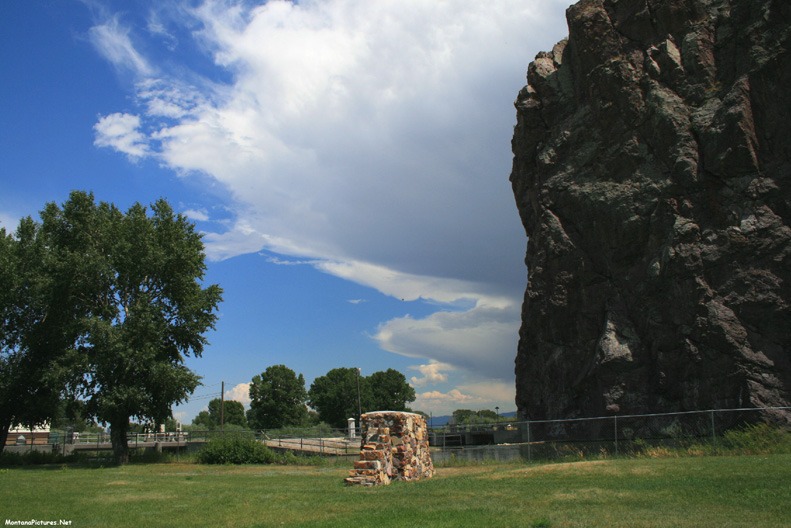
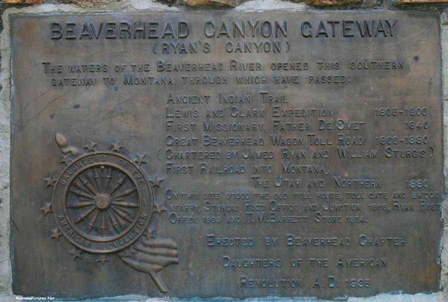
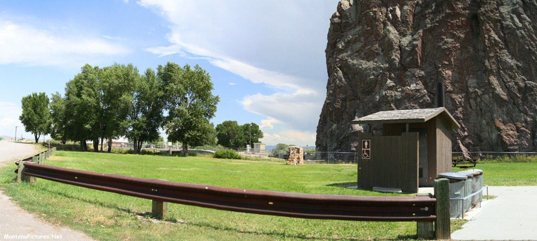
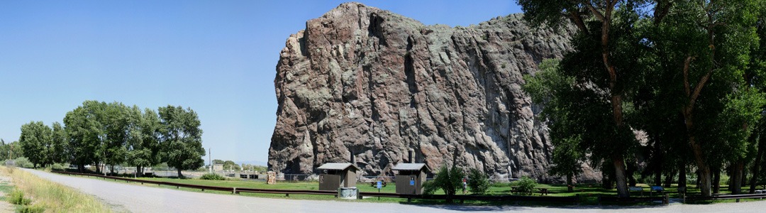
Barrett’s Rock
Riding south along Interstate 15, the wide Beaverhead Valley ends abruptly at Barrett’s Rock. It was here that Captain Meriwether Lewis on August 10, 1805 gave this site the well deserved name “Rattlesnake Cliffs.” Barrett’s Rock is so much more than trail hazards, it is also full of Montana history.
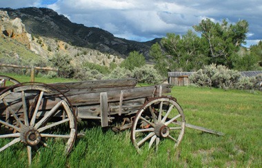
The site is named after pioneer store owner T.M. Barrett. In terms of importance, this narrow canyon opening, after Fort Benton, played a critical part in the development of Montana. Originally, the site was part of an ancient trail, it was later used to haul goods by wagon from Corrine, Utah to the gold fields of Bannack and Virginia City. In 1880, the very first railroad to enter Montana, the Utah and Northern, past through this spot.
Got horse?
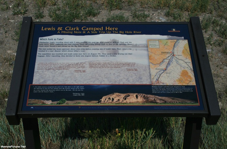
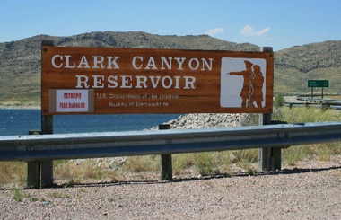
Desperately needing horses before winter arrives, the Lewis and Clark’s expedition separated into two groups in search of native inhabitants of the area. Captain Lewis and three other members of the Corps of Discovery proceeded by foot while Captain William Clark and the remaining members of the expedition pulled the boats up the Beaverhead River. The advance party of Captain Lewis reached Lemhi Pass on August 12, 1805. Lemhi Pass enabled the Lewis and Clark’s expedition to cross the formidable Continental Divide for the first time. Where is Lemhi Pass on the map? The famous mountain pass is located on the Montana-Idaho state line, 36 miles west of the present day Clark’s Canyon Reservoir.
Recent Comments